
Tapun, Tapun barangay in Dalaguete, Cebu
Emplacement : Dalaguete
Altitude : 72 m
Coordonnées GPS : 9.77139,123.52667
Dernière mise à jour : 12 octobre 2025 à 11:46

Simala Shrine
24.5 km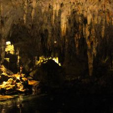
Hinagdanan Cave
34.2 km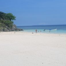
Alona Beach
36.5 km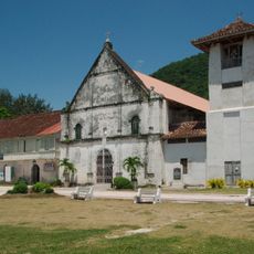
Archdiocesan Shrine of Patrocinio de Maria Santisima
16.6 km
Kawasan Falls
17.1 km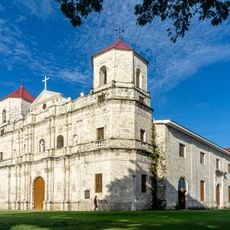
Loon Church
29.4 km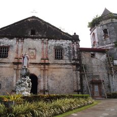
Santa Cruz Parish Church
35 km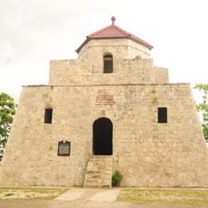
Punta Cruz Watchtower
29.2 km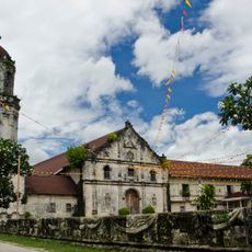
Archdiocesan Shrine of San Miguel Arcangel
15.2 km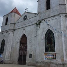
Our Lady of the Pillar Parish Church
29.2 km
San Miguel Arcangel Parish Church, Argao, Cebu
15.2 km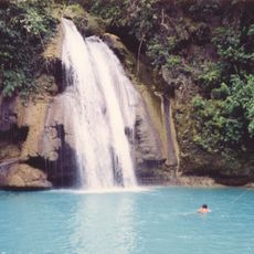
Cataratas de Kawasan
17 km
Hale Manna Coastal Gardens
29.8 km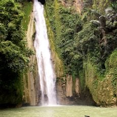
Mantayupan Falls
37.3 km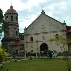
Dalaguete Church
1.4 km
Phare de Pescador
26.2 km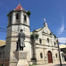
Malabuyoc Church
25.9 km
Grandure Beach resort
19.8 km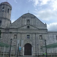
Dumanjug Church
33.4 km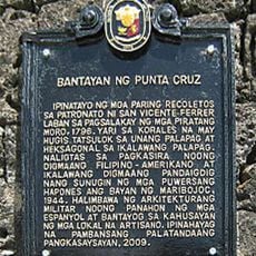
Punta Cruz Watchtower historical marker
29.2 km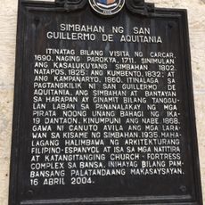
Church of Saint William of Aquitaine historical marker
1.4 km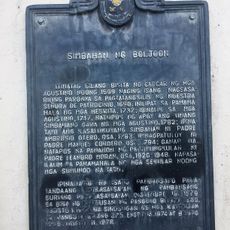
Church of Boljoon historical marker
16.6 km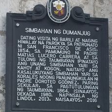
Church of Dumanjug historical marker
33.4 km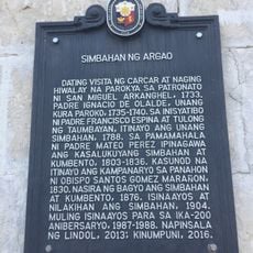
Church of Argao historical marker
15.2 km
Carlitas View Beach Resort
2.6 km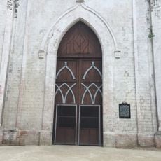
Church of Sibonga historical marker
29.2 km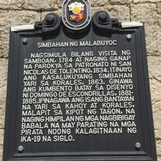
Church of Malabuyoc historical marker
26 km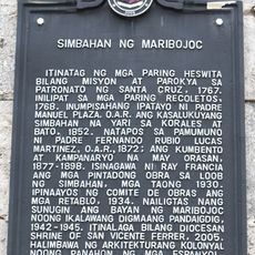
Church of Maribojoc historical marker
34.9 kmVous avez visité ce lieu ? Touchez les étoiles pour le noter et partager votre expérience ou vos photos avec la communauté ! Essayez maintenant ! Vous pouvez annuler à tout moment.
Trouvez des trésors cachés à chaque coin de rue !
Des petits cafés pittoresques aux points de vue planqués, fuyez la foule et dénichez les lieux qui vous ressemblent vraiment. Notre app vous facilite la vie : recherche vocale, filtres malins, itinéraires optimisés et bons plans partagés par des voyageurs du monde entier. Téléchargez vite pour vivre l'aventure en version mobile !

Une approche inédite de la découverte touristique❞
— Le Figaro
Tous les lieux qui valent la peine d'être explorés❞
— France Info
Une excursion sur mesure en quelques clics❞
— 20 Minutes