
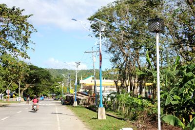
Balatan, commune des Philippines
Emplacement : Camarines Sur
Altitude : 71 m
Partage une frontière avec : Bato
Coordonnées GPS : 13.31667,123.23333
Dernière mise à jour : 7 mars 2025 à 21:28
Mount Iriga
28.7 km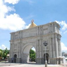
Porta Mariae
35 km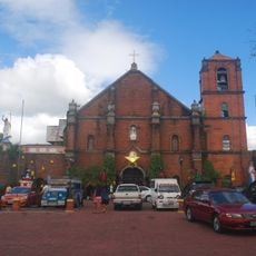
Nabua Church
18.2 km
Saint Anthony of Padua Parish Church
34.6 km
Buhi Church
33.3 km
Baao Church
21 km
Saint Joseph the Worker Parish Church
31.7 km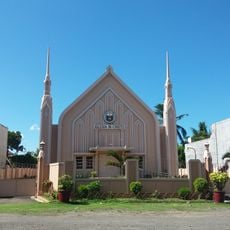
Iglesia ni Cristo chapel, Nabua, Bicol
18.3 km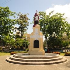
Jorge Barlin é Imperial historical marker
21 km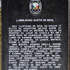
Fifteen Martyrs of Bicol historical marker
34.6 km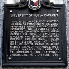
University of Nueva Caceres historical marker
34.7 km
Philtranco Transport Heritage Museum
23.3 km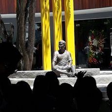
Jesse Robredo Museum
34.9 km
Jorge Barlin Monument
21 km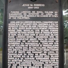
Jesse M. Robredo historical marker
34.9 km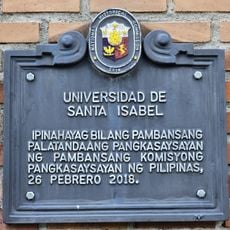
Universidad de Santa Isabel historical marker
35 km
Iriga Church
22.6 km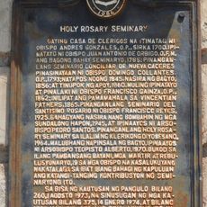
Holy Rosary Seminary historical marker
35 km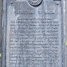
Cathedral of Naga historical marker
35 km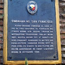
Church of San Francisco historical marker
34.6 km
Church of Baao historical marker
21 km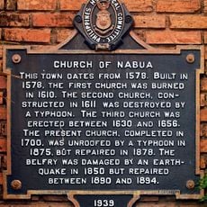
Church of Nabua historical marker
18.2 km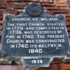
Church of Milaor historical marker
31.7 km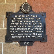
Church of Bula historical marker
17.6 km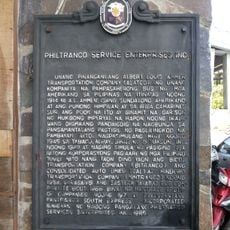
Philtranco Service Enterprises, Inc. historical marker
23.3 km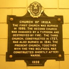
Church of Iriga historical marker
22.6 km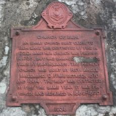
Church of Buhi historical marker
33.4 km
Pamplona Park
34.7 kmVous avez visité ce lieu ? Touchez les étoiles pour le noter et partager votre expérience ou vos photos avec la communauté ! Essayez maintenant ! Vous pouvez annuler à tout moment.
Trouvez des trésors cachés à chaque coin de rue !
Des petits cafés pittoresques aux points de vue planqués, fuyez la foule et dénichez les lieux qui vous ressemblent vraiment. Notre app vous facilite la vie : recherche vocale, filtres malins, itinéraires optimisés et bons plans partagés par des voyageurs du monde entier. Téléchargez vite pour vivre l'aventure en version mobile !

Une approche inédite de la découverte touristique❞
— Le Figaro
Tous les lieux qui valent la peine d'être explorés❞
— France Info
Une excursion sur mesure en quelques clics❞
— 20 Minutes