
Cajidiocan, commune des Philippines
Emplacement : Romblon
Création : 1744
Altitude : 87 m
Partage une frontière avec : Magdiwang
Coordonnées GPS : 12.36667,122.68333
Dernière mise à jour : 18 mars 2025 à 06:42
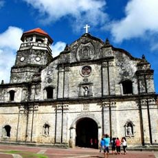
Santa Monica Parish Church
91.1 km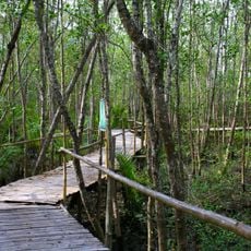
Bakhawan Eco-Park
79.1 km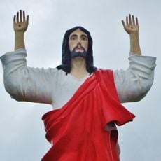
Sacred Heart of Jesus
91.3 km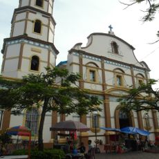
Immaculate Conception Metropolitan Cathedral
87.5 km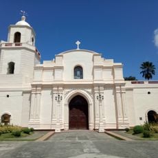
Kalibo Cathedral
80.9 km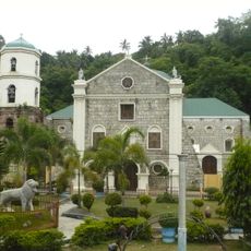
Romblon Cathedral
50.7 km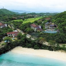
Fairways and Bluewater Boracay
93.5 km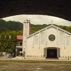
San Nicolas de Tolentino Parish Church
90.8 km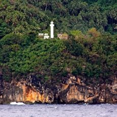
Gorda Point Lighthouse
66.2 km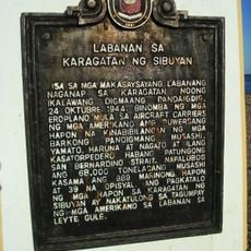
Battle of the Sibuyan Sea historical marker
69.1 km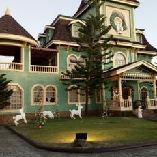
Sampaguita Gardens
84.4 km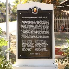
Nineteen Martyrs of Aklan historical marker
81.4 km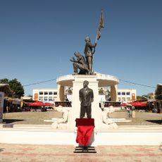
Goding Ramos Park
82.1 km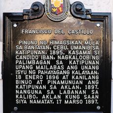
Francisco del Castillo historical marker
81 km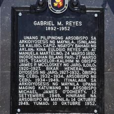
Gabriel M. Reyes historical marker
81 km
Aklan Freedom Shrine
81.4 km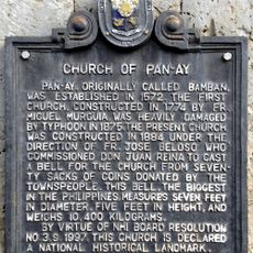
Church of Pan-ay historical marker
91.1 km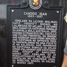
Candido Iban historical marker
89.9 km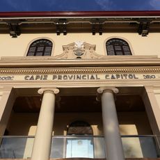
Capiz Provincial Capitol
87.6 km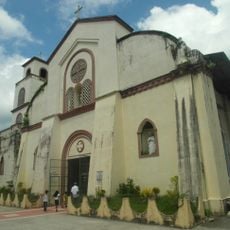
Malinao Church
90.3 km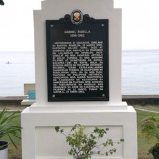
Gabriel Fabella historical marker
90.7 km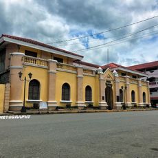
Aklan Museum
81 km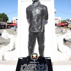
Memorare historical marker (heroes of Aklan)
82.1 km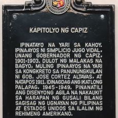
Capitol of Capiz historical marker
87.6 km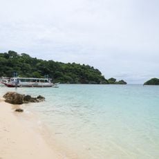
Ilig Iligan Beach
92.3 km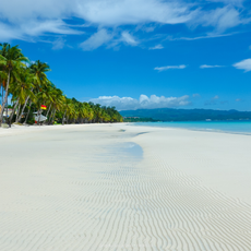
White Beach Boracay
94.1 km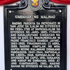
Church of Malinao historical marker
90.3 km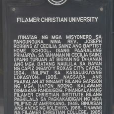
Filamer Christian University historical marker
88.4 kmAvis
Vous avez visité ce lieu ? Touchez les étoiles pour le noter et partager votre expérience ou vos photos avec la communauté ! Essayez maintenant ! Vous pouvez annuler à tout moment.
Trouvez des trésors cachés à chaque coin de rue !
Des petits cafés pittoresques aux points de vue planqués, fuyez la foule et dénichez les lieux qui vous ressemblent vraiment. Notre app vous facilite la vie : recherche vocale, filtres malins, itinéraires optimisés et bons plans partagés par des voyageurs du monde entier. Téléchargez vite pour vivre l'aventure en version mobile !

Une approche inédite de la découverte touristique❞
— Le Figaro
Tous les lieux qui valent la peine d'être explorés❞
— France Info
Une excursion sur mesure en quelques clics❞
— 20 Minutes