
Marabut, commune des Philippines
Emplacement : Samar
Création : 22 juillet 1949
Altitude : 36 m
Partage une frontière avec : Basey
Coordonnées GPS : 11.11667,125.21667
Dernière mise à jour : 7 mars 2025 à 21:30

Pont de San Juanico
33.8 km
MacArthur Landing Memorial National Park
23.2 km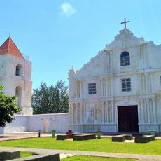
Guiuan Church
56.1 km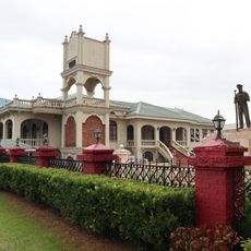
Price Mansion
27.2 km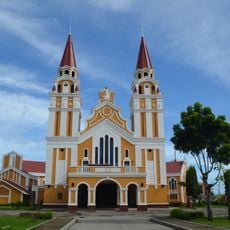
Palo Cathedral
25 km
Leyte Provincial Capitol
27.6 km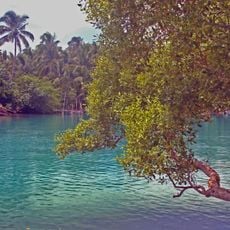
Guiuan Protected Landscape and Seascape
57.5 km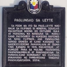
Leyte Landing historical marker
23.2 km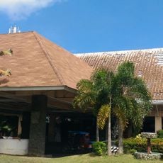
Leyte Park
27.4 km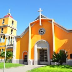
Tanauan Church
21.8 km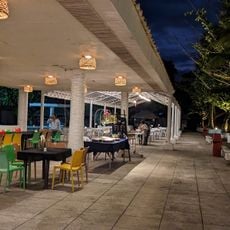
Patio Victoria Baluarte Beach Resort
23 km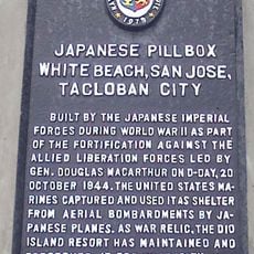
Japanese Pillbox historical marker
23 km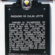
Landing at Dulag, Leyte historical marker
25.6 km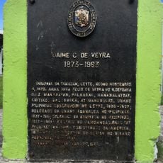
Jaime C. de Veyra historical marker
21.8 km
Basey Church
24.3 km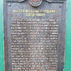
Walter William Marquardt historical marker
38.6 km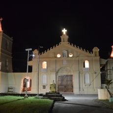
Balangiga Church
18.5 km
Church of Basey historical marker
24.3 km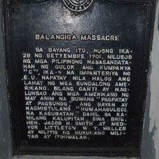
Balangiga Massacre historical marker
18.5 km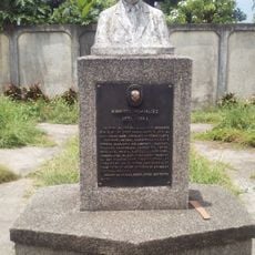
Norberto Romualdez historical marker
38.7 km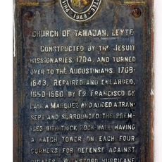
Church of Tanauan, Leyte historical marker
21.8 km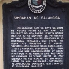
Church of Balangiga historical marker
18.5 km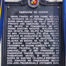
Church of Guiuan historical marker
56.1 km
Capitol Building of the Philippines historical marker
27.6 km
Price Mansion
27.2 km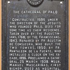
The Cathedral of Palo historical marker
25 km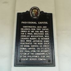
Provisional Capitol historical marker
27.2 km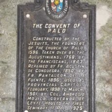
The Convent of Palo historical marker
25 kmVous avez visité ce lieu ? Touchez les étoiles pour le noter et partager votre expérience ou vos photos avec la communauté ! Essayez maintenant ! Vous pouvez annuler à tout moment.
Trouvez des trésors cachés à chaque coin de rue !
Des petits cafés pittoresques aux points de vue planqués, fuyez la foule et dénichez les lieux qui vous ressemblent vraiment. Notre app vous facilite la vie : recherche vocale, filtres malins, itinéraires optimisés et bons plans partagés par des voyageurs du monde entier. Téléchargez vite pour vivre l'aventure en version mobile !

Une approche inédite de la découverte touristique❞
— Le Figaro
Tous les lieux qui valent la peine d'être explorés❞
— France Info
Une excursion sur mesure en quelques clics❞
— 20 Minutes