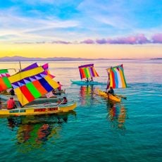
San Pablo, municipalité des Philippines
Emplacement : Zamboanga del Sur
Altitude : 94 m
Partage une frontière avec : Guipos
Site web : http://zds-sanpablo.gov.ph
Coordonnées GPS : 7.65778,123.45972
Dernière mise à jour : 4 mars 2025 à 21:42
Péninsule de Zamboanga
116.7 km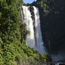
Maria Cristina Falls
100 km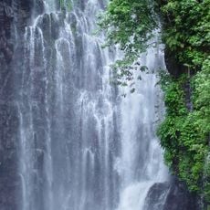
Tinago Falls
97.6 km
Sultan Haji Hassanal Bolkiah Mosque
93 km
Parlement du Bangsamoro
100.9 km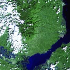
Mount Malindang
65.3 km
Mount Makaturing
93.1 km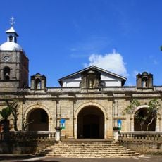
Jimenez Church
86.2 km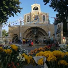
Our Lady of the Most Holy Rosary Cathedral
104.1 km
Bangsamoro Government Center
100.7 km
Kutawato Caves
99.1 km
Marawi Cathedral
99.5 km
Cotabato Regional and Medical Center
99.8 km
Tantawan Park
99.4 km
Fort of the Conception and Triumph
68.6 km
Tamontaka Church
99.3 km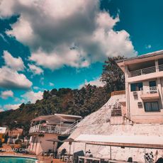
Alindahaw Lakeview Resort
37.6 km
Sultan Dipatuan Kudarat historical marker
99.5 km
Pagadian Cathedral
18.8 km
Immaculate Conception Church of Tamontaka historical marker
99.4 km
Notre Dame Archdiocesan Seminary historical marker
100.7 km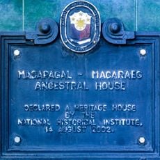
Macapagal-Macaraeg Ancestral House historical marker
99.1 km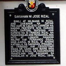
Farm of Jose Rizal historical marker
95.6 km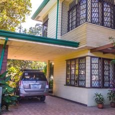
Macapagal-Macaraeg House
99 km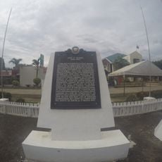
Jose F. Ozamiz historical marker
93.3 km
Fort of the Conception and Triumph historical marker
68.6 km
Port Sambulauan
14.9 km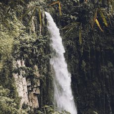
Binaan falls
102.6 kmAvis
Vous avez visité ce lieu ? Touchez les étoiles pour le noter et partager votre expérience ou vos photos avec la communauté ! Essayez maintenant ! Vous pouvez annuler à tout moment.
Trouvez des trésors cachés à chaque coin de rue !
Des petits cafés pittoresques aux points de vue planqués, fuyez la foule et dénichez les lieux qui vous ressemblent vraiment. Notre app vous facilite la vie : recherche vocale, filtres malins, itinéraires optimisés et bons plans partagés par des voyageurs du monde entier. Téléchargez vite pour vivre l'aventure en version mobile !

Une approche inédite de la découverte touristique❞
— Le Figaro
Tous les lieux qui valent la peine d'être explorés❞
— France Info
Une excursion sur mesure en quelques clics❞
— 20 Minutes