
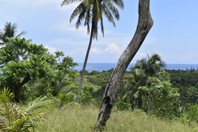
Libon, municipalité des Philippines
Emplacement : Albay
Altitude : 34 m
Partage une frontière avec : Bato
Site web : http://libon.gov.ph
Coordonnées GPS : 13.30000,123.43333
Dernière mise à jour : 7 mars 2025 à 23:48
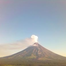
Mayon
27.7 km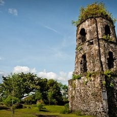
Cagsawa Ruins
32.6 km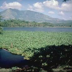
Mount Iriga
17.5 km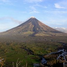
Parc Naturel du Volcan Mayon
27.7 km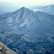
Mount Masaraga
18.1 km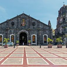
Tabaco Church
32.7 km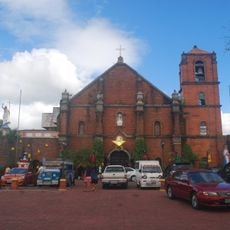
Nabua Church
13.6 km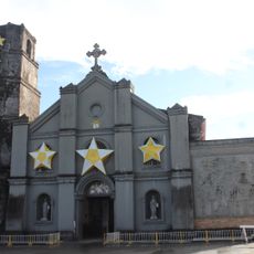
Buhi Church
17.4 km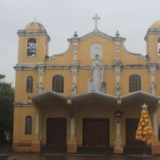
Baao Church
18.7 km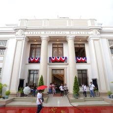
Tabaco City Hall
32.9 km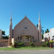
Iglesia ni Cristo chapel, Nabua, Bicol
14.9 km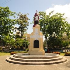
Jorge Barlin é Imperial historical marker
18.6 km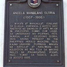
Angela Manalang Gloria historical marker
33 km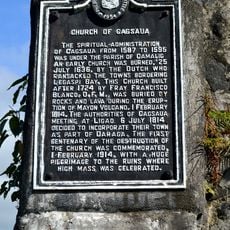
Church of Cagsaua historical marker
32.6 km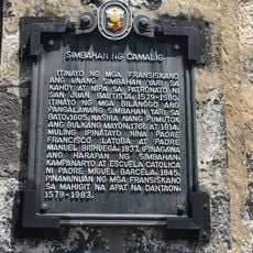
Church of Camalig historical marker
27.3 km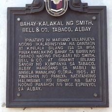
Commercial Building of Smith, Bell & Co. Tabaco, Albay historical marker
33 km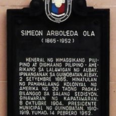
Simeon Arboleda Ola historical marker
21.9 km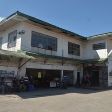
Philtranco Transport Heritage Museum
14.2 km
Jorge Barlin Monument
18.6 km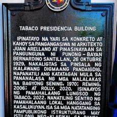
Tabaco Presidencia Building historical marker
32.9 km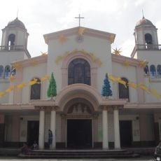
Iriga Church
13.6 km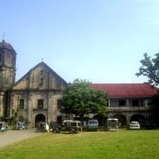
Camalig Church
27.3 km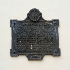
Church of Baao historical marker
18.6 km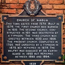
Church of Nabua historical marker
13.6 km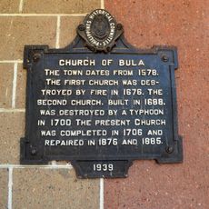
Church of Bula historical marker
25.2 km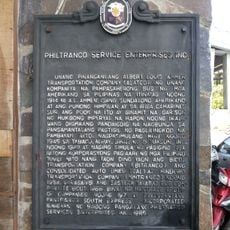
Philtranco Service Enterprises, Inc. historical marker
14.2 km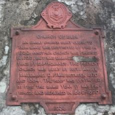
Church of Buhi historical marker
17.4 km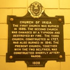
Church of Iriga historical marker
13.6 kmAvis
Vous avez visité ce lieu ? Touchez les étoiles pour le noter et partager votre expérience ou vos photos avec la communauté ! Essayez maintenant ! Vous pouvez annuler à tout moment.
Trouvez des trésors cachés à chaque coin de rue !
Des petits cafés pittoresques aux points de vue planqués, fuyez la foule et dénichez les lieux qui vous ressemblent vraiment. Notre app vous facilite la vie : recherche vocale, filtres malins, itinéraires optimisés et bons plans partagés par des voyageurs du monde entier. Téléchargez vite pour vivre l'aventure en version mobile !

Une approche inédite de la découverte touristique❞
— Le Figaro
Tous les lieux qui valent la peine d'être explorés❞
— France Info
Une excursion sur mesure en quelques clics❞
— 20 Minutes