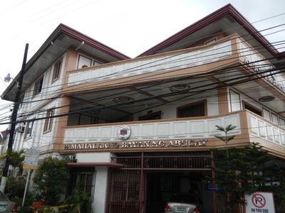
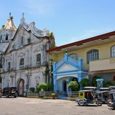
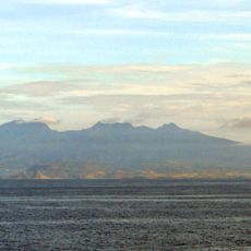
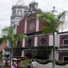
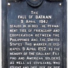
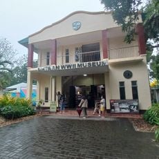
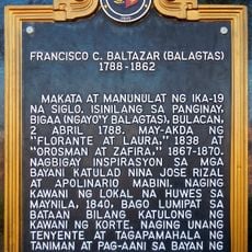
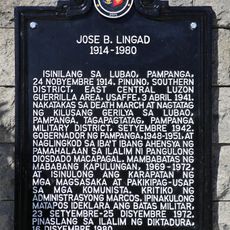
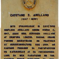
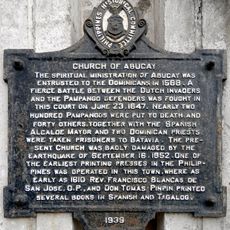
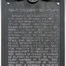
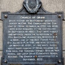
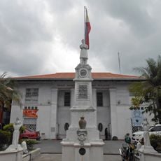
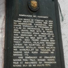
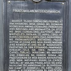
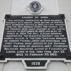
Abucay, commune des Philippines
Emplacement : Bataan
Altitude : 27 m
Partage une frontière avec : 
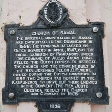
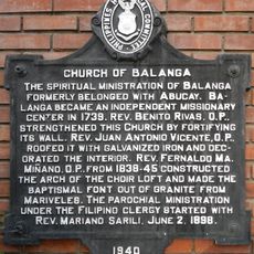
Samal, Morong, Balanga
Coordonnées GPS : 14.72221,120.53543
Dernière mise à jour : 3 mars 2025 à 02:53
Mount Samat National Shrine
13.3 km
Mount Samat
13.5 km
Abucay Church
98 m
Mount Mariveles
22.3 km
Mount Natib
14.7 km
Parc national de Bataan
13.5 km
Balanga Cathedral
4.8 km
Casa Bizantina
21 km
Casa Hidalgo
21 km
Casa Unisan
21.1 km
Casa Jaen I
21.1 km
The Fall of Bataan historical marker
5.2 km
Bataan World War II Museum
4.7 km
Bataan Provincial Capitol
5.2 km
Francisco C. Baltazar (Balagtas) historical marker
12.1 km
Jose B. Lingad historical marker
24.9 km
Cayetano S. Arellano historical marker
12 km
Church of Abucay historical marker
82 m
Tomas Guillermo T. del Rosario historical marker
5.2 km
Church of Orani historical marker
8.8 km
Hagonoy Municipal Hall
24.9 km
Ambon-Ambon Falls
14.5 km
Church of Hagonoy historical marker
24.8 km
Starting Point of Death March historical marker
20.4 km
Church of Samal historical marker
5.4 km
Bataan and Democracy historical marker
16.9 km
Church of Balanga historical marker
4.8 km
Church of Orion historical marker
12.1 kmAvis
Vous avez visité ce lieu ? Touchez les étoiles pour le noter et partager votre expérience ou vos photos avec la communauté ! Essayez maintenant ! Vous pouvez annuler à tout moment.
Trouvez des trésors cachés à chaque coin de rue !
Des petits cafés pittoresques aux points de vue planqués, fuyez la foule et dénichez les lieux qui vous ressemblent vraiment. Notre app vous facilite la vie : recherche vocale, filtres malins, itinéraires optimisés et bons plans partagés par des voyageurs du monde entier. Téléchargez vite pour vivre l'aventure en version mobile !
Une approche inédite de la découverte touristique❞
— Le Figaro
Tous les lieux qui valent la peine d'être explorés❞
— France Info
Une excursion sur mesure en quelques clics❞
— 20 Minutes