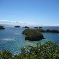
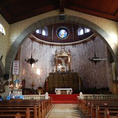
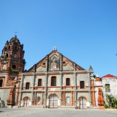
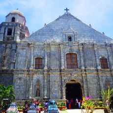
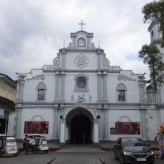
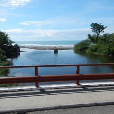
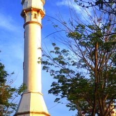
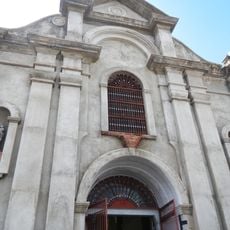
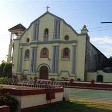
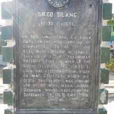
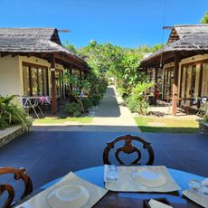
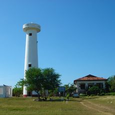
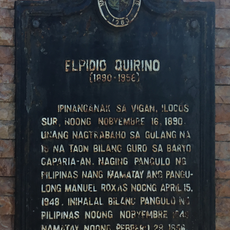
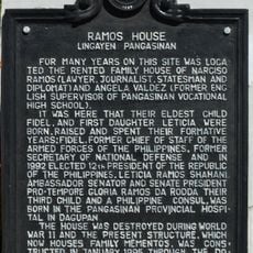
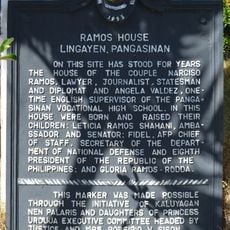
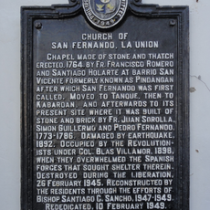
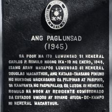
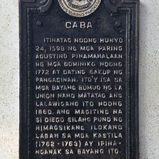
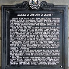
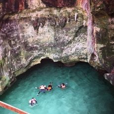
Bolinao, commune des Philippines
Emplacement : Pangasinan
Altitude : 7 m
Partage une frontière avec : Bani, Anda
Coordonnées GPS : 16.38806,119.89472
Dernière mise à jour : 3 mars 2025 à 03:33
Parc national des Hundred Islands
25.6 km
Agoo Basilica
51 km
Parish Church of Saints Peter and Paul
51.9 km
Bolinao Church
123 m
Pangasinan Provincial Capitol
53.4 km
San Fernando Cathedral
51.8 km
Alaminos Cathedral
27.4 km
Agoo–Damortis Protected Landscape and Seascape
48.1 km
Phare du Cap Bolinao
14.7 km
Dagupan Church
60.8 km
Santo Niño Parish Church
35.9 km
Diego Silang historical marker
48.3 km
Masamirey Cove Resort
35.6 km
Phare de San Fernando
48.7 km
Elpidio Quirino historical marker
48.8 km
Ramos House historical marker
53.8 km
Holy Land Beach Resort
12.2 km
Ramos House historical marker
53.8 km
Church of San Fernando, La Union historical marker
51.8 km
The Launch historical marker
53.3 km
Caba historical marker
48.3 km
Basilica of Our Lady of Charity historical marker
51 km
Imelda cave
25.1 km
Manuel E. Arguilla historical marker
48.4 km
Lingayen Beach historical marker
53.3 km
Saint James the Great Parish Church (Bolinao) historical marker
123 m
Poro Point Lighthouse historical marker
48.3 km
The Battle of San Fernando historical marker
51.7 kmVous avez visité ce lieu ? Touchez les étoiles pour le noter et partager votre expérience ou vos photos avec la communauté ! Essayez maintenant ! Vous pouvez annuler à tout moment.
Trouvez des trésors cachés à chaque coin de rue !
Des petits cafés pittoresques aux points de vue planqués, fuyez la foule et dénichez les lieux qui vous ressemblent vraiment. Notre app vous facilite la vie : recherche vocale, filtres malins, itinéraires optimisés et bons plans partagés par des voyageurs du monde entier. Téléchargez vite pour vivre l'aventure en version mobile !
Une approche inédite de la découverte touristique❞
— Le Figaro
Tous les lieux qui valent la peine d'être explorés❞
— France Info
Une excursion sur mesure en quelques clics❞
— 20 Minutes