
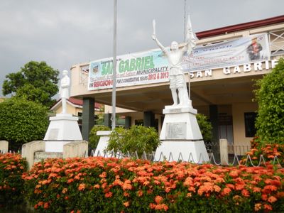
San Gabriel, commune des Philippines
Emplacement : La Union
Altitude : 150 m
Partage une frontière avec : Santol, Kapangan, Bagulin, Bacnotan, San Juan, San Fernando, Sugpon
Site web : http://sangabriel.gov.ph
Coordonnées GPS : 16.66667,120.40000
Dernière mise à jour : 2 avril 2025 à 20:44
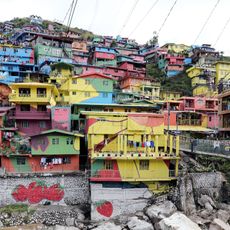
Valley of Colors
33.4 km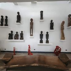
BenCab Museum
32.7 km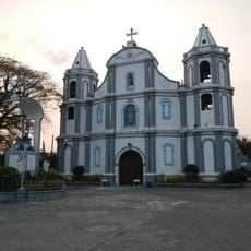
Namacpacan Church
20.9 km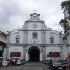
San Fernando Cathedral
10.4 km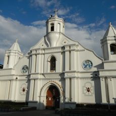
Bangar Church
25.3 km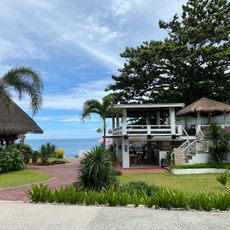
San Juan Surf Resort
8.6 km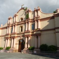
Balaoan Church
17.2 km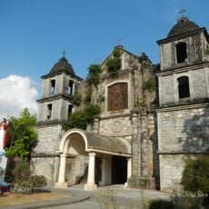
Bacnotan Church
7.7 km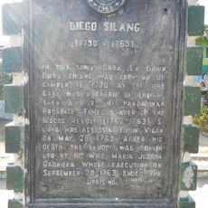
Diego Silang historical marker
26.9 km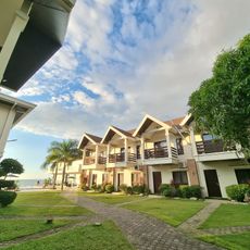
Lafaayette Luxury Suites
16.5 km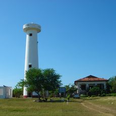
Phare de San Fernando
13.6 km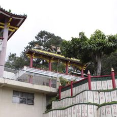
Bell Church
33.7 km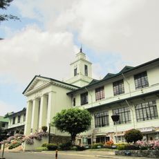
Baguio City Hall
34.8 km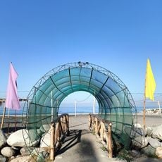
Villa Navarro Beach Resort
27.4 km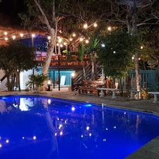
Casa La Playa
6.9 km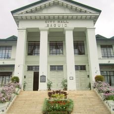
Baguio City Hall historical marker
34.8 km
Alekin Beach Resort
16.1 km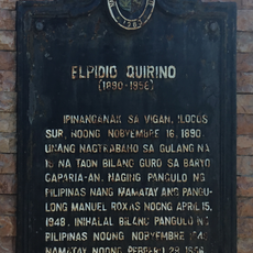
Elpidio Quirino historical marker
27.1 km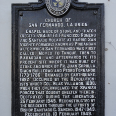
Church of San Fernando, La Union historical marker
10.5 km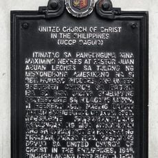
United Church of Christ in the Philippines historical marker
35 km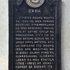
Caba historical marker
26.9 km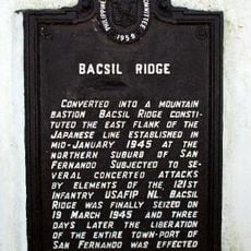
Bacsil Ridge historical marker
6.7 km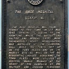
The Base Hospital historical marker
30.1 km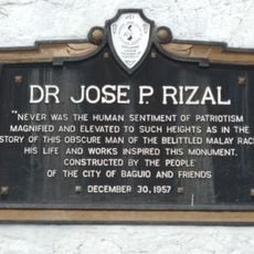
Jose Rizal historical markers
35 km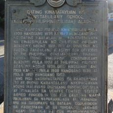
Former Site of the Constabulary School historical marker
34.7 km
Camp Spencer historical marker
18.5 km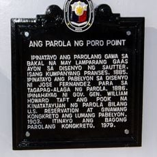
Poro Point Lighthouse historical marker
14 km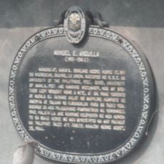
Manuel E. Arguilla historical marker
19 kmVous avez visité ce lieu ? Touchez les étoiles pour le noter et partager votre expérience ou vos photos avec la communauté ! Essayez maintenant ! Vous pouvez annuler à tout moment.
Trouvez des trésors cachés à chaque coin de rue !
Des petits cafés pittoresques aux points de vue planqués, fuyez la foule et dénichez les lieux qui vous ressemblent vraiment. Notre app vous facilite la vie : recherche vocale, filtres malins, itinéraires optimisés et bons plans partagés par des voyageurs du monde entier. Téléchargez vite pour vivre l'aventure en version mobile !

Une approche inédite de la découverte touristique❞
— Le Figaro
Tous les lieux qui valent la peine d'être explorés❞
— France Info
Une excursion sur mesure en quelques clics❞
— 20 Minutes