
Santa Fe, municipalité des Philippines
Emplacement : Nueva Vizcaya
Altitude : 913 m
Partage une frontière avec : Itogon, Carranglan
Coordonnées GPS : 16.15917,120.93778
Dernière mise à jour : 10 avril 2025 à 17:48
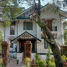
Laperal White House
45.3 km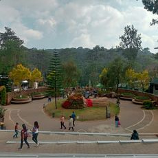
Baguio Botanical Garden
44.8 km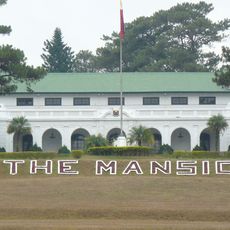
The Mansion
44 km
Mines View Park
44.1 km
Camp John Hay
44.1 km
Mount Santo Tomas
44.7 km
Bayombong Cathedral
42.7 km
Pantabangan–Carranglan Watershed Forest Reserve
42.6 km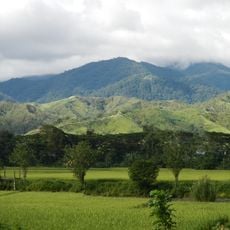
Mount Guiwan
44.2 km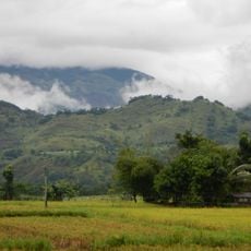
Salinas Natural Monument
25 km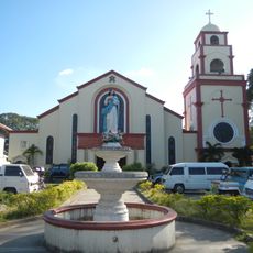
Urdaneta Cathedral
44.7 km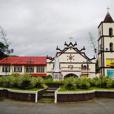
Saint Catherine of Siena Parish Church
30.8 km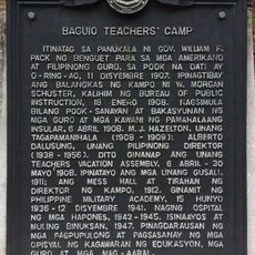
Baguio Teachers’ Camp historical marker
45.2 km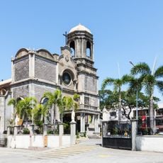
Cathedral of Saint Joseph the Worker
41.3 km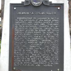
Battle of Balete Pass historical marker
3 km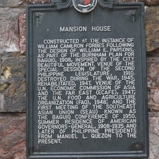
Mansion House historical marker
44.2 km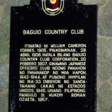
Baguio Country Club historical marker
44 km
Bayombong Municipal Hall
42.6 km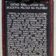
Former Site of Philippine Military Academy historical marker
45.1 km
Jss Thermal Pool
35.7 km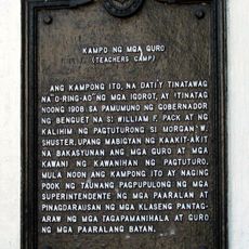
Camp of the Teachers historical marker
44.8 km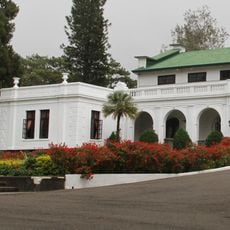
Mansion House historical marker
44 km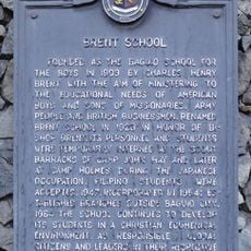
Brent School historical marker
45.5 km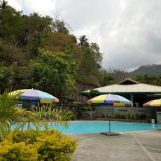
Twin Peaks Swimming Pool
43.9 km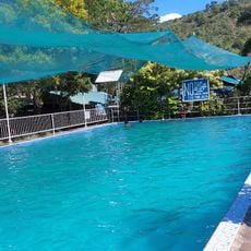
Lucky Five Swimming Pool
35.6 km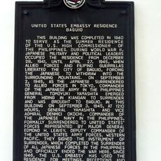
United States Embassy Residence Baguio historical marker
42.8 km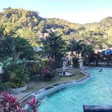
Aldom's Resort
35.4 km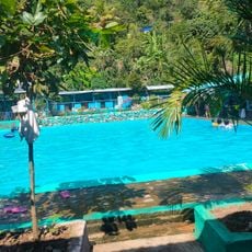
Aular Pool
35.6 kmVous avez visité ce lieu ? Touchez les étoiles pour le noter et partager votre expérience ou vos photos avec la communauté ! Essayez maintenant ! Vous pouvez annuler à tout moment.
Trouvez des trésors cachés à chaque coin de rue !
Des petits cafés pittoresques aux points de vue planqués, fuyez la foule et dénichez les lieux qui vous ressemblent vraiment. Notre app vous facilite la vie : recherche vocale, filtres malins, itinéraires optimisés et bons plans partagés par des voyageurs du monde entier. Téléchargez vite pour vivre l'aventure en version mobile !

Une approche inédite de la découverte touristique❞
— Le Figaro
Tous les lieux qui valent la peine d'être explorés❞
— France Info
Une excursion sur mesure en quelques clics❞
— 20 Minutes