
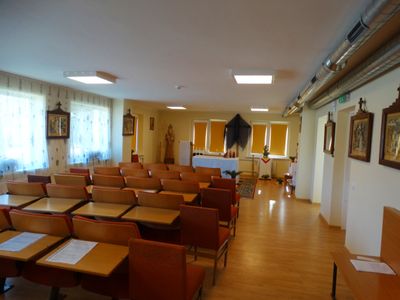
Staneliai chapel, chapel in Lithuania
Emplacement : Staneliai
Coordonnées GPS : 55.94886,21.94612
Dernière mise à jour : 25 septembre 2025 à 08:41
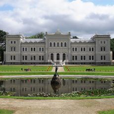
Plungė Manor
7.2 km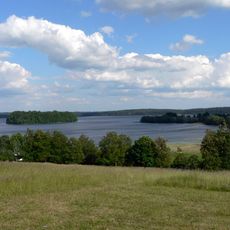
Parc national de Žemaitija
11.2 km
Church of St. John the Baptist, Plungė
7.8 km
Gandinga hillfort
12.9 km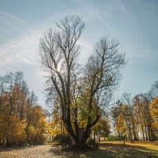
Raganos uosis
12.9 km
Perkūnas Oak
7.3 km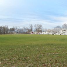
Plungė Central Stadium
6.9 km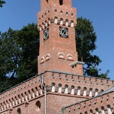
Plungė District Municipal Public Library
7.2 km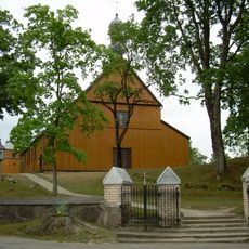
Church of the Immaculate Conception, Alsėdžiai
11 km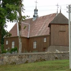
Church of St. Stanislaus the Bishop, Beržoras
11.9 km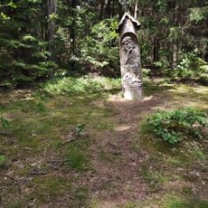
Paplatelė Educational Trail
11.4 km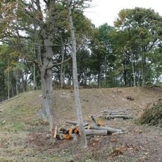
Plungės piliakalnis
8.1 km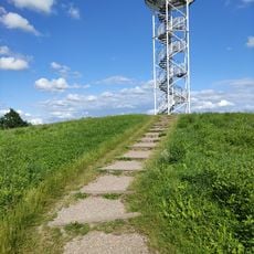
Siberijos Watchtower
12.2 km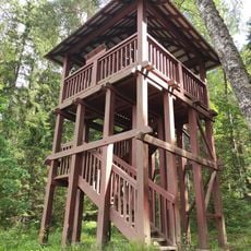
Paplatelė Trail Watchtower
11.2 km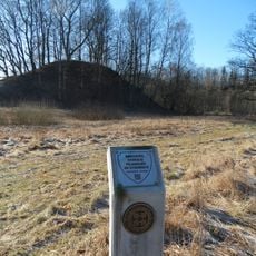
Nausodžio piliakalnis
12.5 km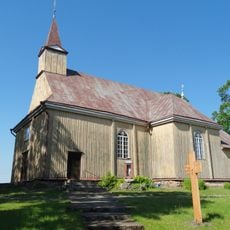
Church of the Immaculate Conception, Kantaučiai
8.3 km
Varkaliai hillfort
12.5 km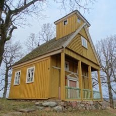
Bukantė chapel
13 km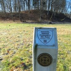
Nausodis II hillfort
12.3 km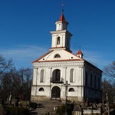
Plungė cemetery chapel
8.2 km
Church of St. George, Lieplaukė
10.1 km
Stanelių piliakalnis
244 m
Church of the Blessed Virgin Mary, Help of Christians, Žlibinai
8 km
Gelindėnų piliakalnis
4 km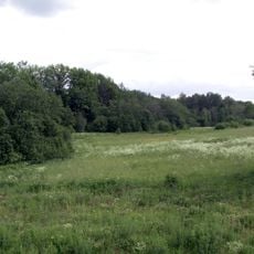
Nugariai hillfort
3.1 km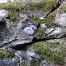
Plungės akmuo su Karvės pėda
8.4 km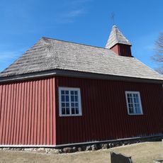
Alsėdžiai cemetery chapel
10.4 km
Alsėdžiai churchyard chapel
10.9 kmAvis
Vous avez visité ce lieu ? Touchez les étoiles pour le noter et partager votre expérience ou vos photos avec la communauté ! Essayez maintenant ! Vous pouvez annuler à tout moment.
Trouvez des trésors cachés à chaque coin de rue !
Des petits cafés pittoresques aux points de vue planqués, fuyez la foule et dénichez les lieux qui vous ressemblent vraiment. Notre app vous facilite la vie : recherche vocale, filtres malins, itinéraires optimisés et bons plans partagés par des voyageurs du monde entier. Téléchargez vite pour vivre l'aventure en version mobile !

Une approche inédite de la découverte touristique❞
— Le Figaro
Tous les lieux qui valent la peine d'être explorés❞
— France Info
Une excursion sur mesure en quelques clics❞
— 20 Minutes