
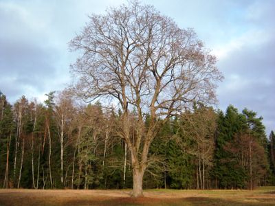
Vaičiūnų klevas
Emplacement : Kaunas District Municipality
Coordonnées GPS : 54.95982,23.52720
Dernière mise à jour : 25 septembre 2025 à 08:40
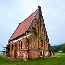
Old Church of St. John the Baptist, Zapyškis
8.8 km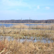
Novaraistis Ornithological Reserve
7.4 km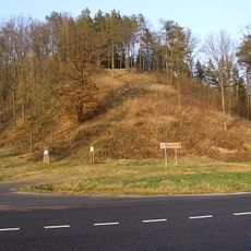
Ringovės piliakalnis
10.2 km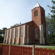
New Church of St. John the Baptist, Zapyškis
8.6 km
Church of St. George, Vilkija
9.7 km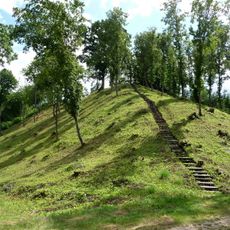
Žemosios Panemunės piliakalnis
11.2 km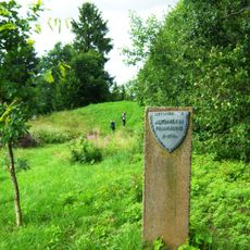
Altoniškiai hillfort
4.7 km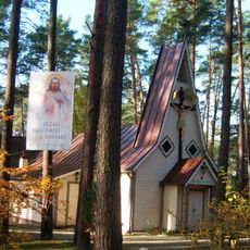
Church of the Holy Name of the Virgin Mary, Kulautuva
7.8 km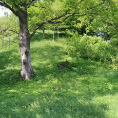
Jaučakių piliakalnis
9.1 km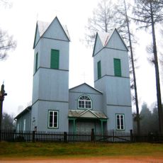
Church of the Immaculate Conception, Braziūkai
8.2 km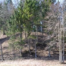
Jadagoniai hillfort
5.4 km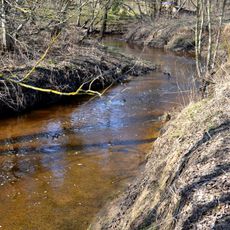
Liekė Landscape Reserve
5.3 km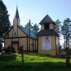
Church of St. Barbara, Paštuva
5.9 km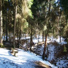
Nerėpa Entomological Reserve
7.9 km
Karklė Ichthyological Reserve
7.3 km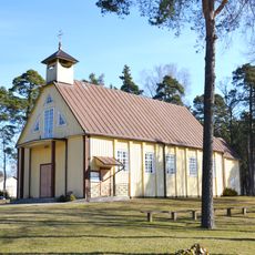
Church of St. Casimir, Lekėčiai
3.3 km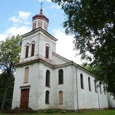
Church of Saint Vincent de Paul, Žemoji Panemunė
10.3 km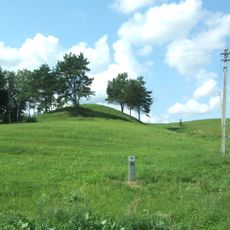
Mikytai hillfort, Šakiai
7.4 km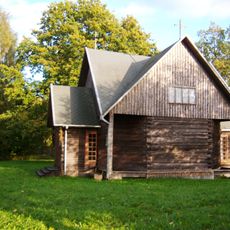
Jadagoniai chapel
4.7 km
Jaučakiai Holocaust Memorial
9 km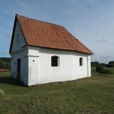
Cemetery chapel, Zapyškis
9.7 km
Šėtijai hillfort
5.8 km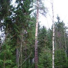
Šilagirio pušis
4.9 km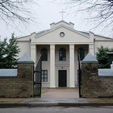
Church of St. Anthony of Padua, Ežerėlis
9.9 km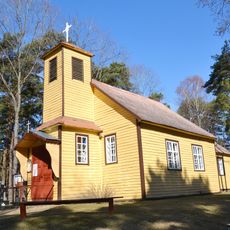
Kretkampis church
8.7 km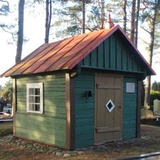
Paštuva cemetery chapel
5.8 km
Rupunionių kapinynas
7.5 km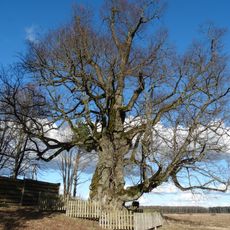
Liepa Motinėlė
8 kmVous avez visité ce lieu ? Touchez les étoiles pour le noter et partager votre expérience ou vos photos avec la communauté ! Essayez maintenant ! Vous pouvez annuler à tout moment.
Trouvez des trésors cachés à chaque coin de rue !
Des petits cafés pittoresques aux points de vue planqués, fuyez la foule et dénichez les lieux qui vous ressemblent vraiment. Notre app vous facilite la vie : recherche vocale, filtres malins, itinéraires optimisés et bons plans partagés par des voyageurs du monde entier. Téléchargez vite pour vivre l'aventure en version mobile !

Une approche inédite de la découverte touristique❞
— Le Figaro
Tous les lieux qui valent la peine d'être explorés❞
— France Info
Une excursion sur mesure en quelques clics❞
— 20 Minutes