
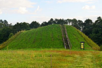
Poteronys hillfort
Poteronys hillfort
Emplacement : Alovė eldership
Site web : http://piliakalniai.lt/data/pil_photo/Atlasas_I_tomas-67_2.jpg
Coordonnées GPS : 54.35864,24.14897
Dernière mise à jour : 24 octobre 2025 à 19:52
White Rose Bridge
5.8 km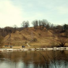
Alytus hillfort
6.2 km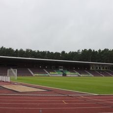
Alytus Stadium
7.1 km
Raižiai Mosque
13.7 km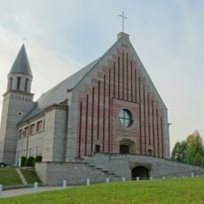
Church of the Blessed Virgin Mary, Help of Christians, Alytus
10.1 km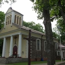
Church of St. Louis, Alytus
7.8 km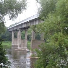
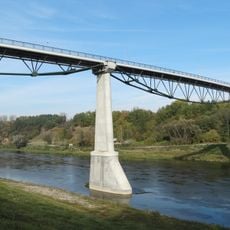
Pont d'Antanas Juozapavičius
7.7 km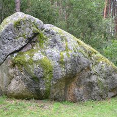
The great boulder of Dzukija
12.7 km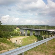
Lietuvos tūkstantmečio tiltas
9.9 km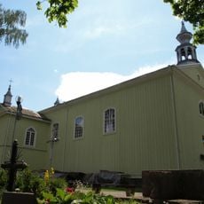
Church of the Holy Guardian Angels, Alytus
7.8 km
Noriūnai forest spruce
13.5 km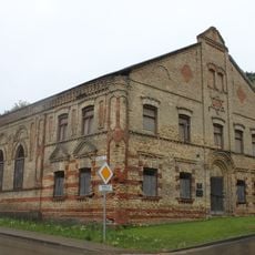
Alytus Synagogue
8.1 km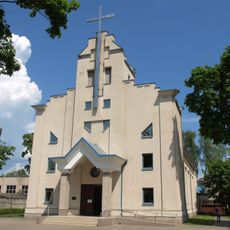
Church of St. Casimir, Alytus
6.7 km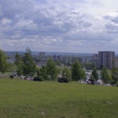
Dainava
9.1 km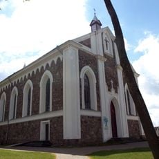
Church of the Providence of God in Daugai
12.7 km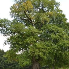
The old elm of Geisciunai
6.5 km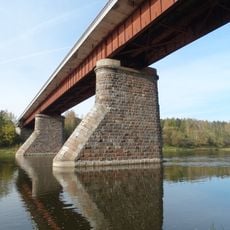
Kaniūkai bridge
3.8 km
Radžiūnai hillfort
9.5 km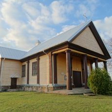
Church of the Holy Trinity, Alovė
1.8 km
The old Kaunas apple tree
6.6 km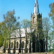
Church of the Nativity of the Virgin Mary, Nemunaitis
10.5 km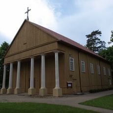
Church of the Holy Trinity, Rumbonys
13.5 km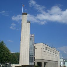
Rathaus Alytus
7.7 km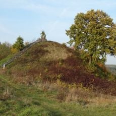
Rumbonys hillfort
14.2 km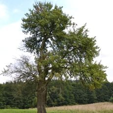
Senoji kriaušė
6.6 km
Chapel in Rumbonys
13.5 km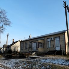
Chapel in Venciūnai
2.9 km
Gulbynės
10.8 kmVous avez visité ce lieu ? Touchez les étoiles pour le noter et partager votre expérience ou vos photos avec la communauté ! Essayez maintenant ! Vous pouvez annuler à tout moment.
Trouvez des trésors cachés à chaque coin de rue !
Des petits cafés pittoresques aux points de vue planqués, fuyez la foule et dénichez les lieux qui vous ressemblent vraiment. Notre app vous facilite la vie : recherche vocale, filtres malins, itinéraires optimisés et bons plans partagés par des voyageurs du monde entier. Téléchargez vite pour vivre l'aventure en version mobile !

Une approche inédite de la découverte touristique❞
— Le Figaro
Tous les lieux qui valent la peine d'être explorés❞
— France Info
Une excursion sur mesure en quelques clics❞
— 20 Minutes