
Upyna, localité lituanienne
Emplacement : Šilalė District Municipality
Altitude : 132 m
Coordonnées GPS : 55.45000,22.43890
Dernière mise à jour : 4 avril 2025 à 16:14

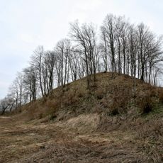
Ivangėnai hillfort
11 km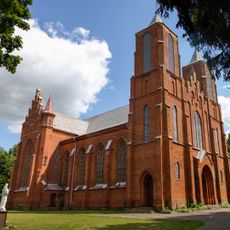
Church of the Blessed Virgin Mary of the Snows, Girdiškė
5.2 km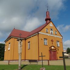
Church of the Holy Cross, Skaudvilė
10.2 km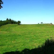
Prienai hillfort
5.8 km
Bijotų ąžuolas
9.3 km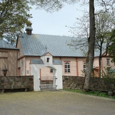
Church of the Holy Name of the Virgin Mary, Upyna
183 m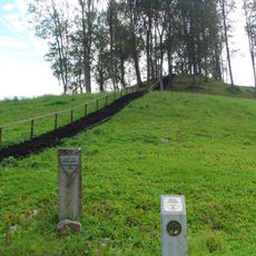
Pagrybis hillfort
10.1 km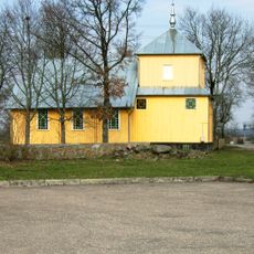
Church of St. Anne, Batakiai
11.8 km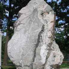
Rauškas stone
6 km
Agluonos ąžuolas
8.9 km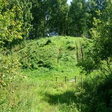
Nosaičiai hillfort
11.2 km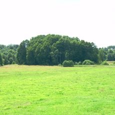
Biržų Laukas hillfort
12.3 km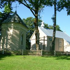
Church of St. Roch in Varsėdžiai
6.3 km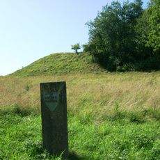
Kalvalių piliakalnis
2.8 km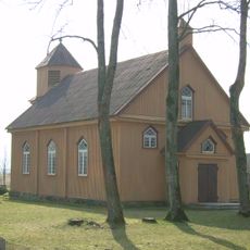
Evangelical Lutheran Church in Batakiai
12.4 km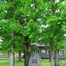
Vytogala Independence oaks
4.2 km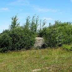
Gudirvių akmuo
2.1 km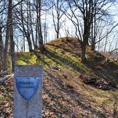
Vaičiai hillfort
11.2 km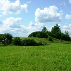
Juškaičiai hillfort
4 km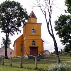
Evangelical Lutheran Church in Skaudvilė
10.5 km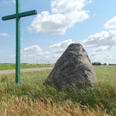
Pabremenio akmuo
5.5 km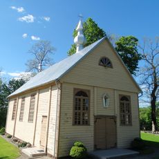
Church of the transfiguration of Jesus Christ in Lomiai
8.7 km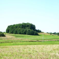
Dungeriukai hillfort
6.6 km
Pagrybio kapinynas
9.1 km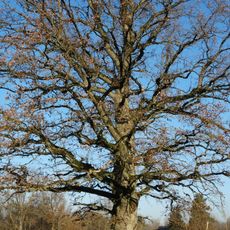
Vėžalaukio ąžuolas
9.2 km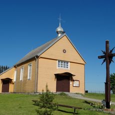
Church of the Exaltation of the Holy Cross in Vaitimėnai
7.6 km
Gedminiškės II piliakalnis
11.8 km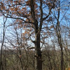
Skaudvilės ąžuolas
10.4 kmVous avez visité ce lieu ? Touchez les étoiles pour le noter et partager votre expérience ou vos photos avec la communauté ! Essayez maintenant ! Vous pouvez annuler à tout moment.
Trouvez des trésors cachés à chaque coin de rue !
Des petits cafés pittoresques aux points de vue planqués, fuyez la foule et dénichez les lieux qui vous ressemblent vraiment. Notre app vous facilite la vie : recherche vocale, filtres malins, itinéraires optimisés et bons plans partagés par des voyageurs du monde entier. Téléchargez vite pour vivre l'aventure en version mobile !

Une approche inédite de la découverte touristique❞
— Le Figaro
Tous les lieux qui valent la peine d'être explorés❞
— France Info
Une excursion sur mesure en quelques clics❞
— 20 Minutes