
Raguva, town in Panevėžys District Municipality, Lithuania
Emplacement : Panevėžys District Municipality
Altitude : 71 m
Coordonnées GPS : 55.56389,24.62222
Dernière mise à jour : 6 mars 2025 à 02:43

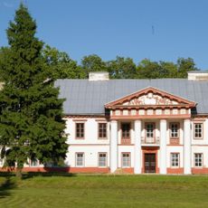
Raguvėlė Manor
10.6 km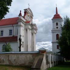
Church of the Holy Trinity, Troškūnai
15.9 km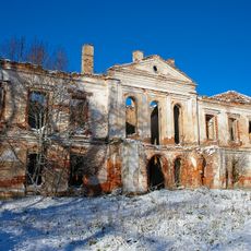
Alantės Manor
6.4 km
Užugirio dvaras
16 km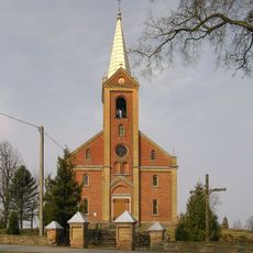
Holy Name of Jesus church in Šilai
7.9 km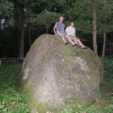
Barboros akmuo
15.7 km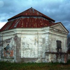
Janapolio dvaras
7.6 km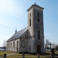
Church of St. Anthony of Padua, Lėnas
15.1 km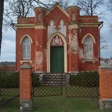
Raguvėlės koplyčia
10.3 km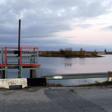
Jotainiai pond
13 km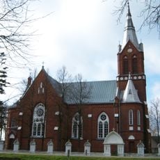
Church of the Blessed Virgin Mary, Miežiškiai
13.6 km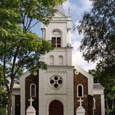
Church of St. Andrew the Apostle, Velykiai
12.3 km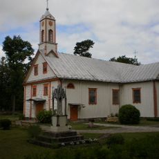
Church of the Sacred Heart of Jesus in Vadokliai
12.4 km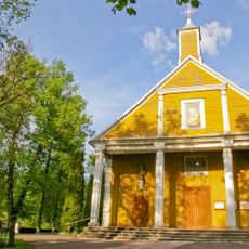
Church of the Assumption, Raguva
355 m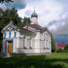
Orthodox church in Raguva
960 m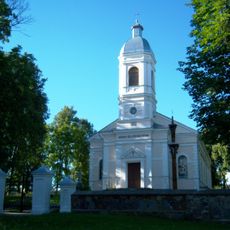
Church of St. Anne, Traupis
9.9 km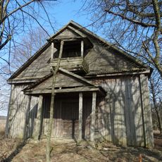
Old Believers Church in Kritižis
1.8 km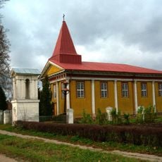
Church of St. Stephen the Deacon, Raguvėlė
10.6 km
Levaniškiai hillfort
6.5 km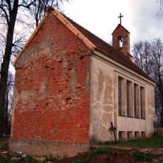
Umėnų koplyčia
15.8 km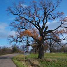
Viškonių ąžuolas
12.7 km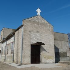
Balelių šv. Jono Pauliaus II koplyčia
13.1 km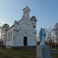
Marijonava chapel
14.9 km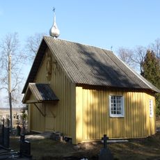
Raguva cemetery chapel
425 m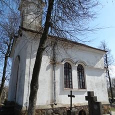
Chapel in Vadokliai
12.7 km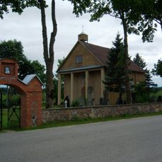
Juostininkai chapel
9.1 km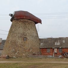
Sodeliškiai windmill
14 km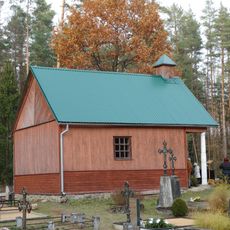
Šilelio kapinių koplyčia
15.9 kmVous avez visité ce lieu ? Touchez les étoiles pour le noter et partager votre expérience ou vos photos avec la communauté ! Essayez maintenant ! Vous pouvez annuler à tout moment.
Trouvez des trésors cachés à chaque coin de rue !
Des petits cafés pittoresques aux points de vue planqués, fuyez la foule et dénichez les lieux qui vous ressemblent vraiment. Notre app vous facilite la vie : recherche vocale, filtres malins, itinéraires optimisés et bons plans partagés par des voyageurs du monde entier. Téléchargez vite pour vivre l'aventure en version mobile !

Une approche inédite de la découverte touristique❞
— Le Figaro
Tous les lieux qui valent la peine d'être explorés❞
— France Info
Une excursion sur mesure en quelques clics❞
— 20 Minutes