
Salamiestis, localité lituanienne
Emplacement : Kupiškis District Municipality
Altitude : 82 m
Coordonnées GPS : 55.94167,24.87778
Dernière mise à jour : 30 mars 2025 à 18:35
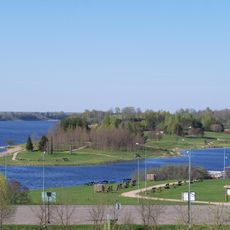
Kupiškis Lagoon
9.9 km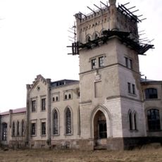
Beržėnai Manor
13.5 km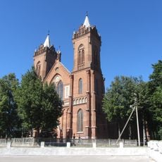
Church of the Ascension of Christ, Kupiškis
12.7 km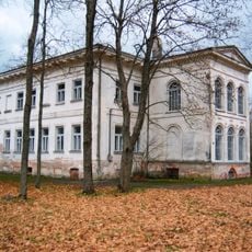
Antašava Manor
5.8 km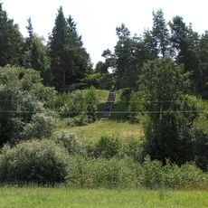
Aukštupėnai mound
12.1 km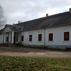
Salamiestis Manor
180 m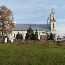
Church of the Assumption, Vabalninkas
9.2 km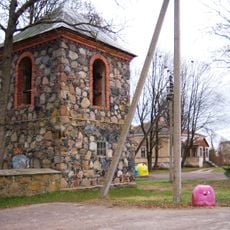
Church of St. Hyacinth, Antašava
6.2 km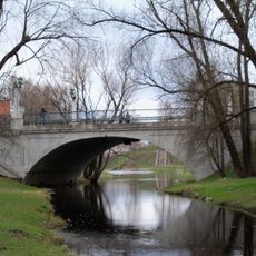
Gediminas Bridge
13.2 km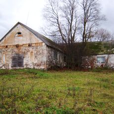
Zasinyčių dvaras
6.4 km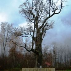
Buivėnų ąžuolas
14.1 km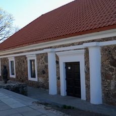
Kupiškio Museum of Ethnography
12.6 km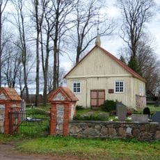
Evangelical Reformed Church in Salamiestis
740 m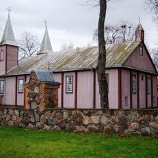
Church of St. John the Baptist, Alizava
8.4 km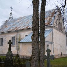
Church of the Blessed Virgin Mary, Palėvenėlė
8.9 km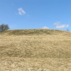
Bakšėnų piliakalnis
2.7 km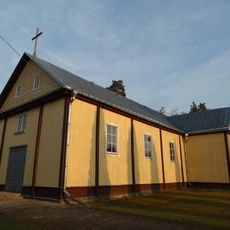
Church of St. Michael the Archangel, Kupreliškis
12.4 km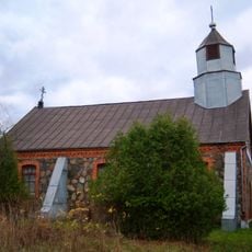
Old Believers Church in Bagdonys
10.3 km
Likalaukiai hillfort
4.6 km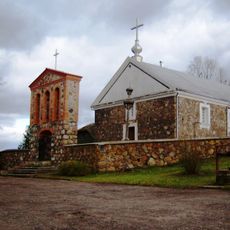
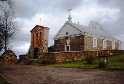
Church of St. Anthony of Padua, Salamiestis
577 m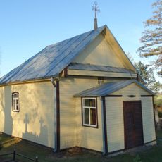
Chapel in Kupriai
5.6 km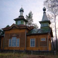
Orthodox church in Lebeniškiai
14.2 km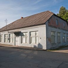
Former synagogues in Vabalninkas
9.1 km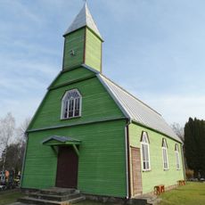
Chapel in Lamokėliai
9.7 km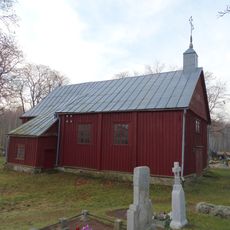
Chapel in Diliai
10.3 km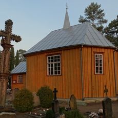
Chapel in Jasiuliškiai
13.8 km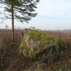
Trišakių akmuo
12 km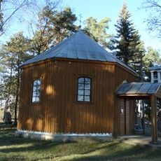
Chapel in Uoginiai
9.2 kmVous avez visité ce lieu ? Touchez les étoiles pour le noter et partager votre expérience ou vos photos avec la communauté ! Essayez maintenant ! Vous pouvez annuler à tout moment.
Trouvez des trésors cachés à chaque coin de rue !
Des petits cafés pittoresques aux points de vue planqués, fuyez la foule et dénichez les lieux qui vous ressemblent vraiment. Notre app vous facilite la vie : recherche vocale, filtres malins, itinéraires optimisés et bons plans partagés par des voyageurs du monde entier. Téléchargez vite pour vivre l'aventure en version mobile !

Une approche inédite de la découverte touristique❞
— Le Figaro
Tous les lieux qui valent la peine d'être explorés❞
— France Info
Une excursion sur mesure en quelques clics❞
— 20 Minutes