
Čekiškė, human settlement in Lithuania
Emplacement : Kaunas District Municipality
Altitude : 62 m
Coordonnées GPS : 55.15833,23.52500
Dernière mise à jour : 4 mars 2025 à 04:12

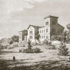
Belvederis Manor
12.3 km
Pieštvė
11.5 km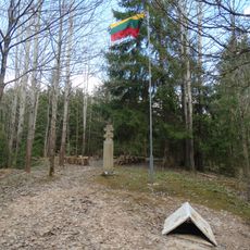
Daugėliškiai bunker
8.1 km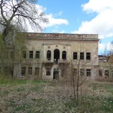
Ariogala Manor
11.7 km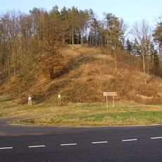
Ringovės piliakalnis
11.9 km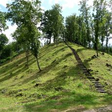
Žemosios Panemunės piliakalnis
12.5 km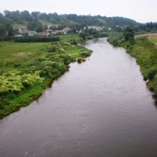
Dubysa Ichtiological Reserve
5.1 km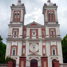
Church of St. John the Baptist, Seredžius
11.1 km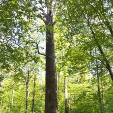
Šaravai oak
11.1 km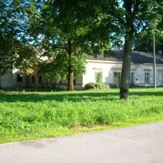
Gėluvos dvaras
10.1 km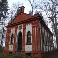
Belvederis chapel
12 km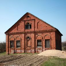
Synagogue of Čekiškė
407 m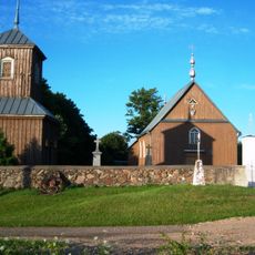
Church of St. John the Baptist, Butkiškė
8.2 km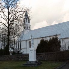
Church of the Holy Trinity, Čekiškė
425 m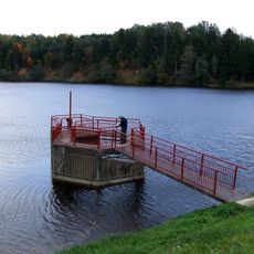
Plikių tvenkinys
6.7 km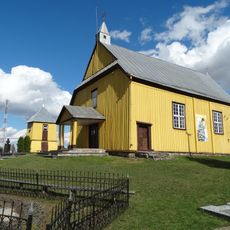
Church of the Providence of God in Lesčiai
8.5 km
Gėluva hillfort
10.1 km
Stanislava manor
11.1 km
Seredžius 2nd hillfort
11.6 km
Butviloniai hillfort
7.2 km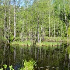
Laučynė Landscape Sanctuary
10.3 km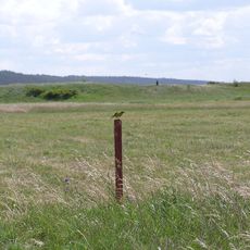
Seredžius Landscape Reserve
11.7 km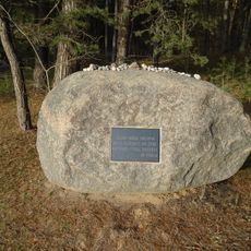
Skrebenai Holocaust Memorial
11.5 km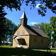
Church of the Sacred Heart of Jesus in Šaravai
11.8 km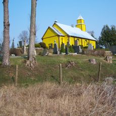
Chapel in Krūvandai
4.9 km
Seredžiaus kapinynas
11.6 km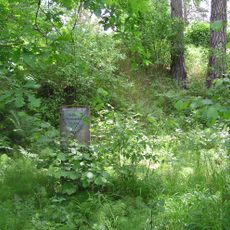
Pašilių piliakalnis
3.5 km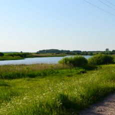
Langakių II tvenkinys
4.5 kmVous avez visité ce lieu ? Touchez les étoiles pour le noter et partager votre expérience ou vos photos avec la communauté ! Essayez maintenant ! Vous pouvez annuler à tout moment.
Trouvez des trésors cachés à chaque coin de rue !
Des petits cafés pittoresques aux points de vue planqués, fuyez la foule et dénichez les lieux qui vous ressemblent vraiment. Notre app vous facilite la vie : recherche vocale, filtres malins, itinéraires optimisés et bons plans partagés par des voyageurs du monde entier. Téléchargez vite pour vivre l'aventure en version mobile !

Une approche inédite de la découverte touristique❞
— Le Figaro
Tous les lieux qui valent la peine d'être explorés❞
— France Info
Une excursion sur mesure en quelques clics❞
— 20 Minutes