
Panemunis, localité lituanienne
Emplacement : Rokiškis District Municipality
Altitude : 88 m
Coordonnées GPS : 56.06111,25.27778
Dernière mise à jour : 26 mars 2025 à 00:38
Onuškis Manor
18 km
Nereta Manor
10.5 km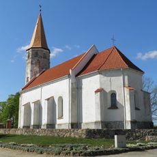
Lutheran church in Nereta
16.1 km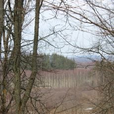
Margos kalnas
17.4 km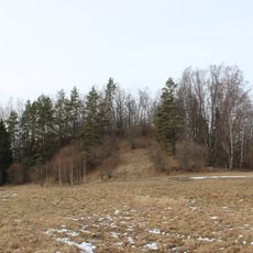
Stupeļu hillfort
16.8 km
Moškėnų piliakalnis
14.4 km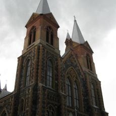
Church of St. Peter and St. Paul, Čedasai
9.6 km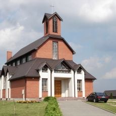
Roman Catholic church in Nereta
16 km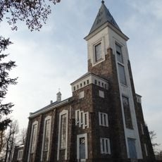
Church of the Blessed Virgin Mary the Immaculate, Papilys
18 km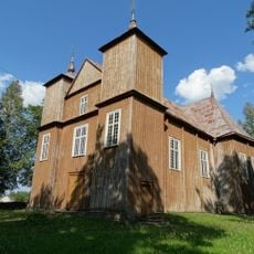
Church of St. Michael the Archangel, Onuškis
17.5 km
Žiobų piliakalnis
17.4 km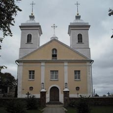
Church of the Holy Name of the Virgin Mary, Pandėlys
5.4 km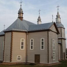
Church of St. John the Baptist, Kvetkai
13.1 km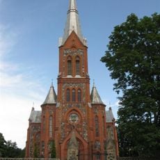
Church of St. Michael the Archangel, Žiobiškis
12.9 km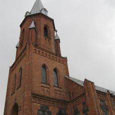
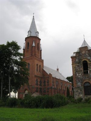
Church of the Holy Trinity, Panemunis
376 m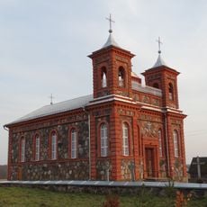
Church of St. James the Apostle, Suvainiškis
11 km
Bryzgių piliakalnis
17.4 km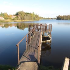
Žiobiškio tvenkinys
14.2 km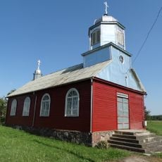
Old Believers Church in Maineivos
12 km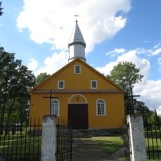
Church of the Blessed Virgin Mary, Kazliškis
8.6 km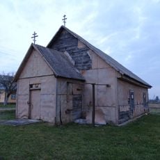
Old Believers Church in Kvedariškis
10.7 km
Grodzisko Zabłocie
16.9 km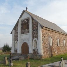
Chapel in Skrebiškiai
17 km
Martiniškėnai hillfort
15.2 km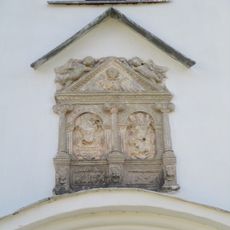
Cilnis fasādē
16.1 km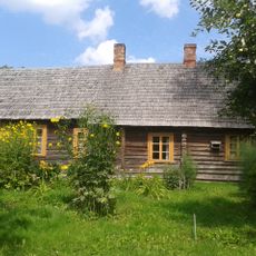
Jānis Jaunsudrabiņš Museum "Riekstiņi"
16.4 km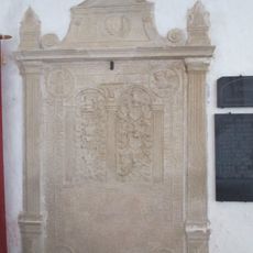
Kapa plāksne - piemineklis V.Efernam
16.1 km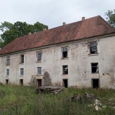
Pils
10.5 kmAvis
Vous avez visité ce lieu ? Touchez les étoiles pour le noter et partager votre expérience ou vos photos avec la communauté ! Essayez maintenant ! Vous pouvez annuler à tout moment.
Trouvez des trésors cachés à chaque coin de rue !
Des petits cafés pittoresques aux points de vue planqués, fuyez la foule et dénichez les lieux qui vous ressemblent vraiment. Notre app vous facilite la vie : recherche vocale, filtres malins, itinéraires optimisés et bons plans partagés par des voyageurs du monde entier. Téléchargez vite pour vivre l'aventure en version mobile !

Une approche inédite de la découverte touristique❞
— Le Figaro
Tous les lieux qui valent la peine d'être explorés❞
— France Info
Une excursion sur mesure en quelques clics❞
— 20 Minutes