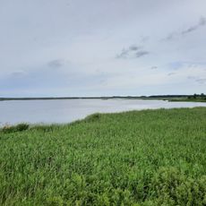
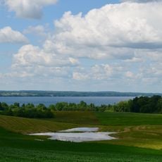
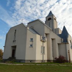
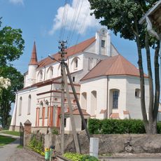
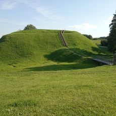
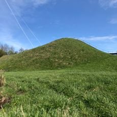
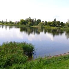
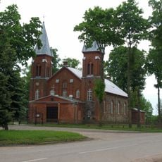
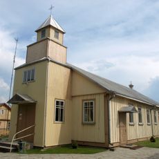
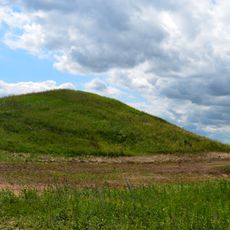
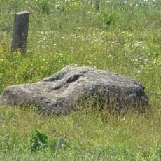
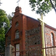
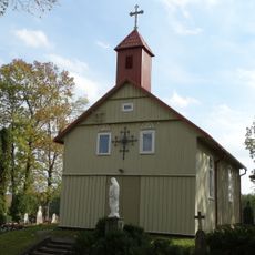
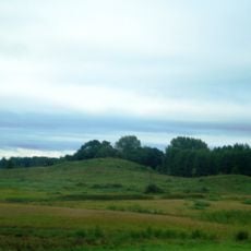
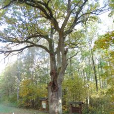
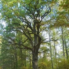
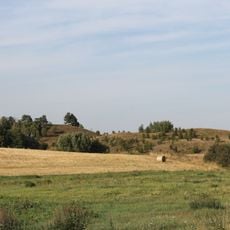
Simnas, ville de Lituanie
Emplacement : Alytus District Municipality
Altitude : 108 m
Site web : http://simnetas.lt
Coordonnées GPS : 54.38333,23.65000
Dernière mise à jour : 4 mars 2025 à 11:47
Žuvintas
12.9 km
Meteliai Regional Park
12.4 km
Chapel in Kryžiai
14 km
Church of the Assumption of the Blessed Virgin Mary, Simnas
293 m
Grodzisko Przełomszczyzna
7.9 km
Kaukai hillfort
9.4 km
Krokialaukio tvenkinys
8.7 km
Varnupių piliakalnis
14 km
Church of the Transfiguration of Jesus Christ in Meteliai
10.9 km
Church of the Transfiguration of Jesus Christ, Krokialaukis
9.4 km
Church of Christ the King in Santaika
10.1 km
Church of St. Matthew, Krosna
7.7 km
Papėčių piliakalnis
12.3 kmGrodzisko w Ażolinie / Dębowym Rogu
5.8 km
Varnupių akmuo
13.9 kmGiluičių piliakalnis
3.7 kmAtesninkų piliakalnis
6.1 km
Church of St. George, Daukšiai
13.4 km
Church of the Blessed Virgin Mary of Perpetual Help, Šeštokai
13.7 km
Church of the Holy Trinity, Riečiai
11.2 kmGrodzisko Werstominy I
12.2 km
Riečiai hillfort
10.6 kmGrodzisko w Girajciach Wielkich
12.7 km
Širvintas hollow oak
13.1 km
The Great Širvintas oak
13 km
Gumbeliai hillfort
15.2 kmGrodzisko Werstominy II
12.4 kmDusios gyvenvietė
9.5 kmVous avez visité ce lieu ? Touchez les étoiles pour le noter et partager votre expérience ou vos photos avec la communauté ! Essayez maintenant ! Vous pouvez annuler à tout moment.
Trouvez des trésors cachés à chaque coin de rue !
Des petits cafés pittoresques aux points de vue planqués, fuyez la foule et dénichez les lieux qui vous ressemblent vraiment. Notre app vous facilite la vie : recherche vocale, filtres malins, itinéraires optimisés et bons plans partagés par des voyageurs du monde entier. Téléchargez vite pour vivre l'aventure en version mobile !
Une approche inédite de la découverte touristique❞
— Le Figaro
Tous les lieux qui valent la peine d'être explorés❞
— France Info
Une excursion sur mesure en quelques clics❞
— 20 Minutes