
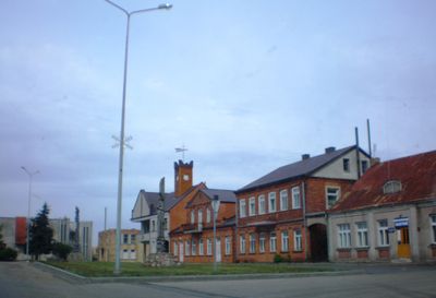
Krakės, village en Lituanie
Emplacement : Kėdainiai District Municipality
Altitude : 79 m
Coordonnées GPS : 55.40833,23.72500
Dernière mise à jour : 20 avril 2025 à 23:39
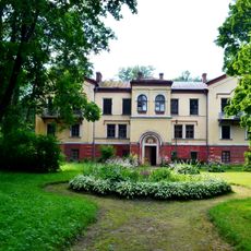
Dotnuva Manor
8.4 km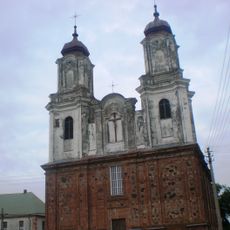
Church of the Annunciation in Dotnuva
11.5 km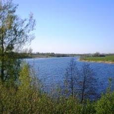
Vaitiekūnų tvenkinys
12.3 km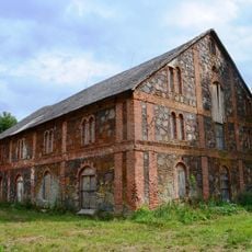
Pašušvys Manor
5.7 km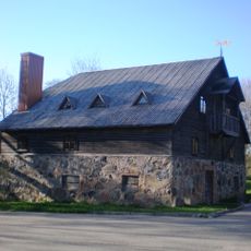
Bartkūniškis Manor
6.6 km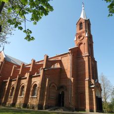
Church of St. Matthew, Krakės
183 m
St. Catherine monastery in Krakės
339 m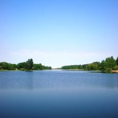
Akademija Reservoir
8 km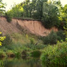
Vosbučiai outcrop
7.3 km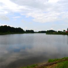
Vaidatonių tvenkinys
11.5 km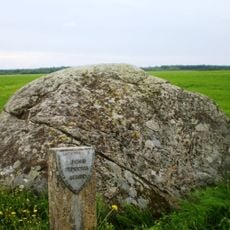
Siponių akmuo
5.4 km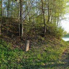
Naujaupis hillfort
9.9 km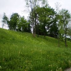
Plinkaigalis hillfort
5 km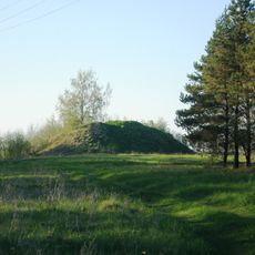
Vaitiekūnai hillfort
12.4 km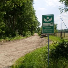
Smilga Landscape Reserve
11.3 km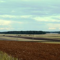
Pajieslys Geomorphological Sanctuary
9.1 km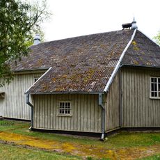
Church of the Blessed Virgin Mary, Comforter of the Afflicted, Pajieslys
7.4 km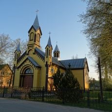
Church of the Sacred Heart of Jesus, Gudžiūnai
11.8 km
Ambraziūnai hillfort
7.3 km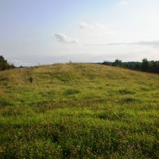
Pilsupiai hillfort
11.3 km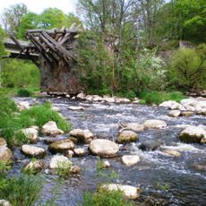
Pašušvis Landscape Reserve
5.6 km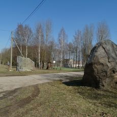
Meironiškių akmenys
3.6 km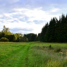
Vosbučiai Botanical-Zoological Reserve
7.1 km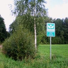
Zembiškis forest Botanical Reserve
10.9 km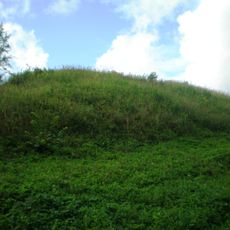
Vosbučiai hillfort
7.2 km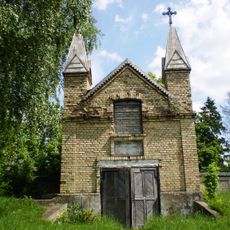
Chapel in Pilioniai
9.8 km
Ruseinių kapinynas
11.7 km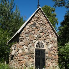
Lepšiškė chapel
11.9 kmVous avez visité ce lieu ? Touchez les étoiles pour le noter et partager votre expérience ou vos photos avec la communauté ! Essayez maintenant ! Vous pouvez annuler à tout moment.
Trouvez des trésors cachés à chaque coin de rue !
Des petits cafés pittoresques aux points de vue planqués, fuyez la foule et dénichez les lieux qui vous ressemblent vraiment. Notre app vous facilite la vie : recherche vocale, filtres malins, itinéraires optimisés et bons plans partagés par des voyageurs du monde entier. Téléchargez vite pour vivre l'aventure en version mobile !

Une approche inédite de la découverte touristique❞
— Le Figaro
Tous les lieux qui valent la peine d'être explorés❞
— France Info
Une excursion sur mesure en quelques clics❞
— 20 Minutes