
Lauko Soda, localité lituanienne
Emplacement : Telšiai District Municipality
Altitude : 166 m
Coordonnées GPS : 55.89194,22.25611
Dernière mise à jour : 3 avril 2025 à 09:36
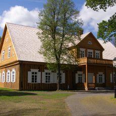
Biržuvėnai manor
12.7 km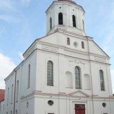
Telšiai Cathedral
10.1 km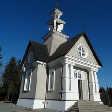
Chapel in Rainiai
8.4 km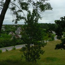
Džiuginėnai hillfort
11.1 km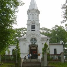
Church of the Assumption of the Blessed Virgin Mary into Heaven
10.2 km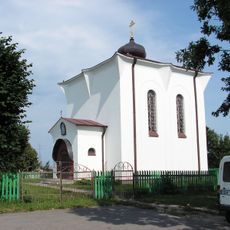
Orthodox church in Telšiai
10.6 km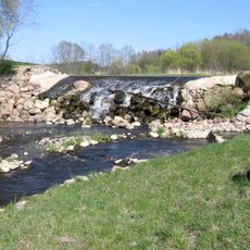
Minija Effusion Landscape Reserve
9 km
Daktariškės gyvenvietės
13.8 km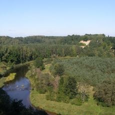
Minija Landscape Reserve
9.4 km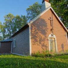
Chapel in Stulpinai
10 km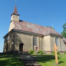
Church of the Immaculate Conception, Kantaučiai
12.8 km
Biržuvėnai hillfort
12.8 km
Širmė
12.5 km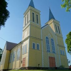
Church of St. Stanislaus the Bishop, Žarėnai
6.7 km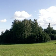
Sėbai hillfort
9.4 km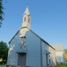
Church of the Holy Trinity, Viešvėnai
6.4 km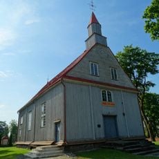
Church of St. Michael the Archangel, Janapolė
11.9 km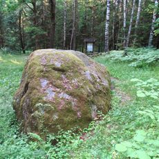
The great boulder of Jomantai
6.8 km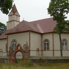
Church of St. George, Lieplaukė
12.8 km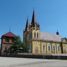
Church of the Holy Trinity, Medingėnai
14.3 km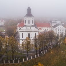
Telšių bernardinų vienuolynas
10 km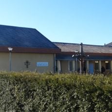
Ryškėnai chapel
6.7 km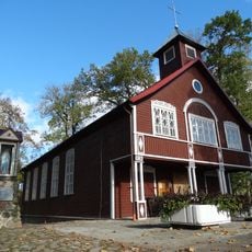
Church of St. Peter and St. Paul in Degaičiai
12 km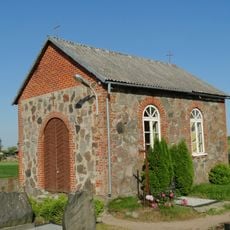
Žarėnai cemetery chapel
7.2 km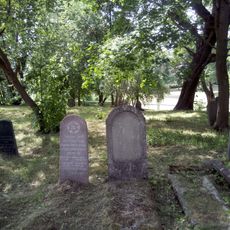
Jewish cemeteries in Telšiai
10.8 km
Lauko Sodos piliakalnis
993 m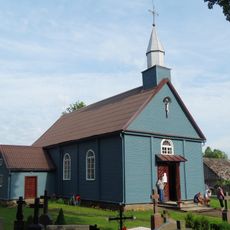
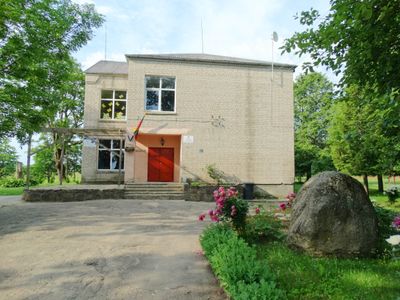
Church of St. Joachim, Lauko Soda
142 m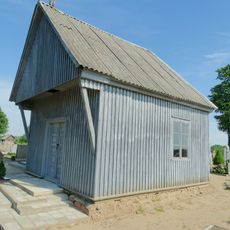
Chapel in Janapolė
12 kmAvis
Vous avez visité ce lieu ? Touchez les étoiles pour le noter et partager votre expérience ou vos photos avec la communauté ! Essayez maintenant ! Vous pouvez annuler à tout moment.
Trouvez des trésors cachés à chaque coin de rue !
Des petits cafés pittoresques aux points de vue planqués, fuyez la foule et dénichez les lieux qui vous ressemblent vraiment. Notre app vous facilite la vie : recherche vocale, filtres malins, itinéraires optimisés et bons plans partagés par des voyageurs du monde entier. Téléchargez vite pour vivre l'aventure en version mobile !

Une approche inédite de la découverte touristique❞
— Le Figaro
Tous les lieux qui valent la peine d'être explorés❞
— France Info
Une excursion sur mesure en quelques clics❞
— 20 Minutes