
Siesikai, localité lituanienne
Emplacement : Ukmergė District Municipality
Altitude : 76 m
Coordonnées GPS : 55.29444,24.50278
Dernière mise à jour : 10 avril 2025 à 11:54
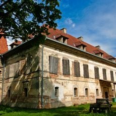
Château de Siesikai
1.1 km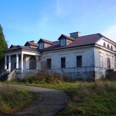
Leonpolis Manor
16.2 km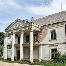
Vepriai Manor
16.8 km
Užugirio dvaras
15 km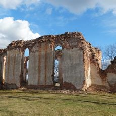
Evangelical Reformed Church, Deltuva
12.2 km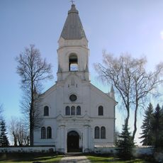
Church of the Holy Trinity, Šėta
15.9 km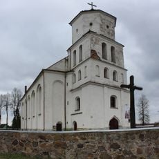
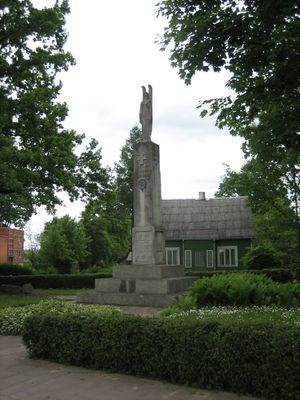
Church of St. Bartholomew, Siesikai
203 m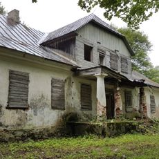
Bukonys manor
11.5 km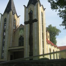
Church of the Discovery of the Holy Cross in Panoteriai
11.7 km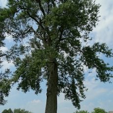
Atkočių tuopa
5.6 km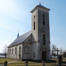
Church of St. Anthony of Padua, Lėnas
15.9 km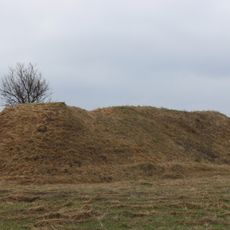
Piliakalniai hillfort
9.3 km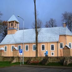
Church of the Holy Trinity, Deltuva
12.3 km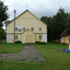
Church of the Visitation, Pagiriai
10.1 km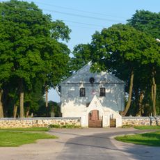
Church of St. Michael the Archangel, Bukonys
11.3 km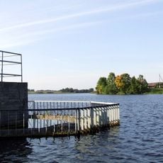
Dovydiškių tvenkinys
15.6 km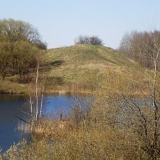
Sangailai hillfort
15.5 km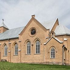
Church of Holy Virgin Mary the Queen of the Rosary, Vepriai
16.7 km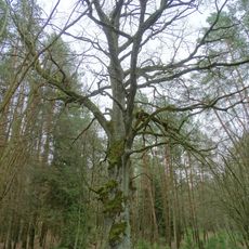
Veprių ąžuolas
17 km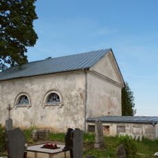
Siesikai cemetery chapel
844 m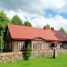
Panoteriai chapel
11.7 km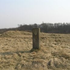
Lokinė hillfort
3.4 km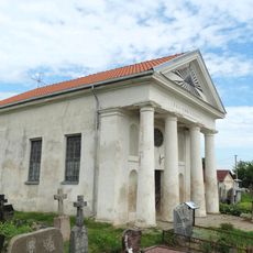
Chapel in Šėta
16.3 km
Pagiriai chapel
9.8 km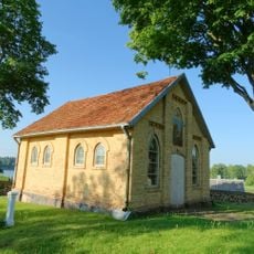
Veprių Kristaus kapo koplyčia
16.8 km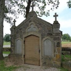
Kiewlicz tomb chapel, Deltuva
12.9 km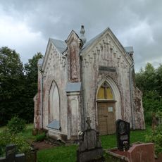
Chapel in Tulpiakiemis
6.1 km
Chapel, Dainava
14.1 kmAvis
Vous avez visité ce lieu ? Touchez les étoiles pour le noter et partager votre expérience ou vos photos avec la communauté ! Essayez maintenant ! Vous pouvez annuler à tout moment.
Trouvez des trésors cachés à chaque coin de rue !
Des petits cafés pittoresques aux points de vue planqués, fuyez la foule et dénichez les lieux qui vous ressemblent vraiment. Notre app vous facilite la vie : recherche vocale, filtres malins, itinéraires optimisés et bons plans partagés par des voyageurs du monde entier. Téléchargez vite pour vivre l'aventure en version mobile !

Une approche inédite de la découverte touristique❞
— Le Figaro
Tous les lieux qui valent la peine d'être explorés❞
— France Info
Une excursion sur mesure en quelques clics❞
— 20 Minutes