
Kazlų Rūda, ville de Lituanie
Emplacement : Kazlų Rūda eldership
Création : 1744
Altitude : 95 m
Site web : http://kazluruda.lt
Coordonnées GPS : 54.74919,23.48650
Dernière mise à jour : 3 mars 2025 à 00:39
Višakio Rūda
8.3 km
Antanavas Manor
12.8 km
Chapel in Parausių
16.7 km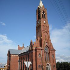
Church of the Holy Name of the Virgin Mary, Sasnava
11.2 km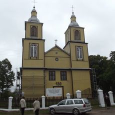
Church of St. Stanislaus the Bishop, Višakio Rūda
8.3 km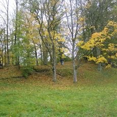
Piliakalniai hillfort, Marijampolė
12.7 km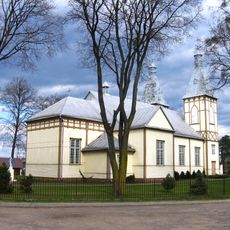
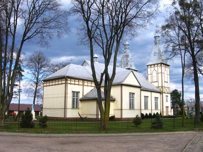
Church of the Sacred Heart of Jesus in Kazlų Rūda
203 m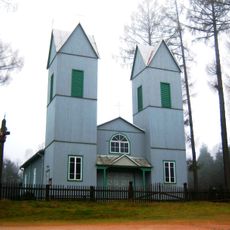
Church of the Immaculate Conception, Braziūkai
15.8 km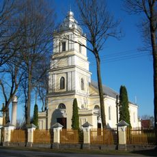
Church of St. Louis, Veiveriai
15.5 km
Church of Saint Lawrence in Skriaudžiai
11.3 km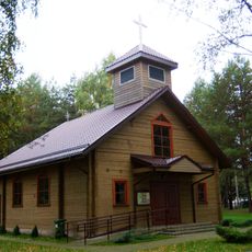
Jūrės Dievo Gailestingumo koplyčia
7.1 km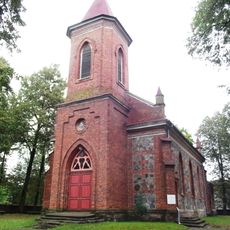
Church of St. Mary Magdalene in Šunskai
15.6 km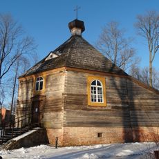
Antanavas chapel
12.6 km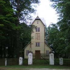
Church of St. Anthony of Padua, Ąžuolų Būda
5.7 km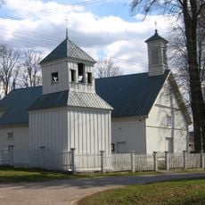
Church of St. Joseph, Plutiškės
13.8 km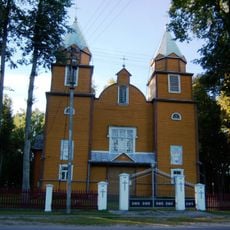
Church of St. Anthony of Padua, Bagotoji
8.9 km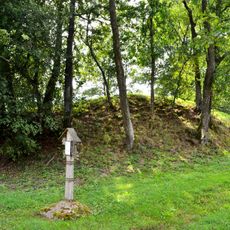
Piliūnai hillfort
15.7 km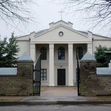
Church of St. Anthony of Padua, Ežerėlis
16.6 km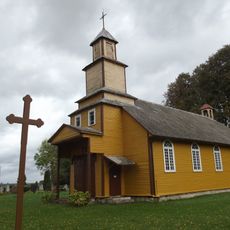
Church of the Holy Spirit in Nemirai
12.7 km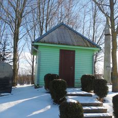
Chapel of partisans, Veiveriai
14.4 km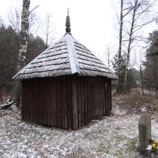
Kardokai chapel
11.6 km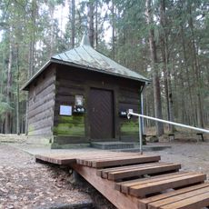
Šaltinis chapel, Višakio Rūda
9.1 km
Milžinkapio pušis
14.3 km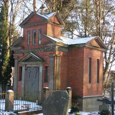
Pliopliai chapel
11.3 km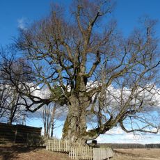
Liepa Motinėlė
15.9 km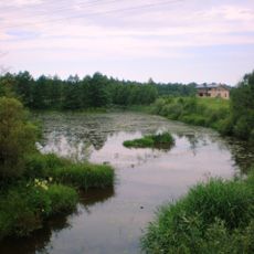
Ąžuolų Būdos tvenkinys
5.4 km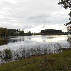
Gudelių tvenkinys
9.3 km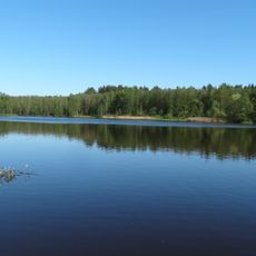
Gulioniškės tvenkinys
7.1 kmAvis
Vous avez visité ce lieu ? Touchez les étoiles pour le noter et partager votre expérience ou vos photos avec la communauté ! Essayez maintenant ! Vous pouvez annuler à tout moment.
Trouvez des trésors cachés à chaque coin de rue !
Des petits cafés pittoresques aux points de vue planqués, fuyez la foule et dénichez les lieux qui vous ressemblent vraiment. Notre app vous facilite la vie : recherche vocale, filtres malins, itinéraires optimisés et bons plans partagés par des voyageurs du monde entier. Téléchargez vite pour vivre l'aventure en version mobile !

Une approche inédite de la découverte touristique❞
— Le Figaro
Tous les lieux qui valent la peine d'être explorés❞
— France Info
Une excursion sur mesure en quelques clics❞
— 20 Minutes