
Rūdiškės, human settlement
Emplacement : Trakai District Municipality
Création : 1774
Altitude : 147 m
Coordonnées GPS : 54.51389,24.82778
Dernière mise à jour : 4 mars 2025 à 23:26
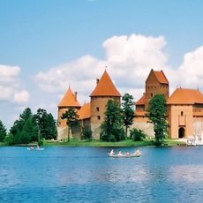
Château de Trakai
16.9 km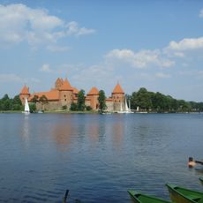
Parc historique national de Trakai
15.6 km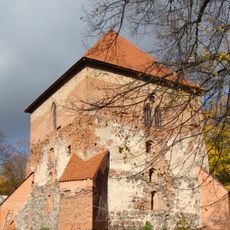
Trakai Peninsula Castle
16.3 km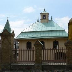
Trakai Kenesa
16.4 km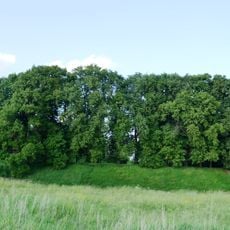
Château de Senieji Trakai
14.3 km
Aukštadvaris Regional Park
16.6 km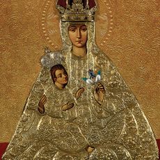
Mère de Dieu de Trakai
15.9 km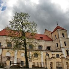
Church of the Visitation, Trakai
15.9 km
Church of St. Philip and St. Jacob, Onuškis
15.5 kmStrėvos įgriuva
11.8 km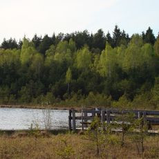
Varnikai Botanical-Zoological Preserve
17 kmSenųjų Trakų Viešpaties Apreiškimo vienuolynas
14.3 km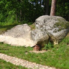
Nikronių akmuo
15.6 km
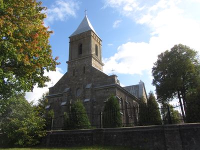
Church of the Sacred Heart of Jesus, Rūdiškės
186 m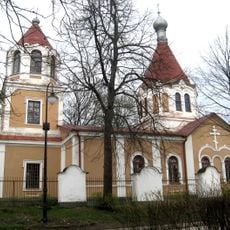
Orthodox church in Trakai
15.7 km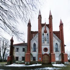
Church of the Annunciation, Senieji Trakai
14.3 km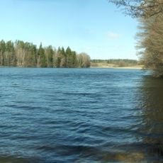
Isper
12.6 km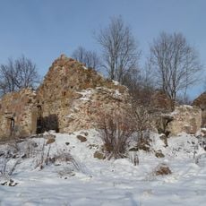
Daugirdiškės manor
15.4 km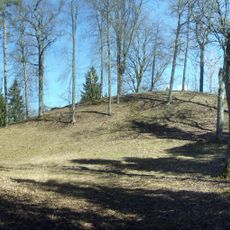
Strėva hillfort
12 km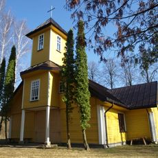
Church of St. Anthony of Padua, Vytautava
8.1 km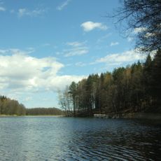
Ilgutis Botanical Reserve
6.4 km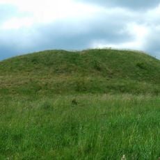
Žuklijai 1st hillfort
9.4 km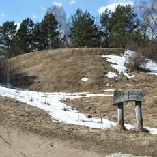
Varnikai hillfort
17 km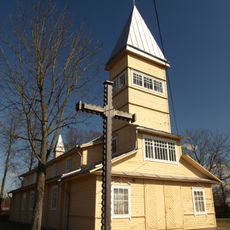
Church of St. John the Baptist, Paluknys
10.3 km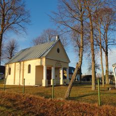
Gojus chapel
9 kmMirgelių piliakalnis
17.1 kmII grodzisko Żukleje
9.5 kmSenųjų Macelių pilkapynas
16 kmVous avez visité ce lieu ? Touchez les étoiles pour le noter et partager votre expérience ou vos photos avec la communauté ! Essayez maintenant ! Vous pouvez annuler à tout moment.
Trouvez des trésors cachés à chaque coin de rue !
Des petits cafés pittoresques aux points de vue planqués, fuyez la foule et dénichez les lieux qui vous ressemblent vraiment. Notre app vous facilite la vie : recherche vocale, filtres malins, itinéraires optimisés et bons plans partagés par des voyageurs du monde entier. Téléchargez vite pour vivre l'aventure en version mobile !

Une approche inédite de la découverte touristique❞
— Le Figaro
Tous les lieux qui valent la peine d'être explorés❞
— France Info
Une excursion sur mesure en quelques clics❞
— 20 Minutes