
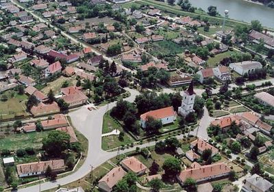
Tiszaroff, commune hongroise
Emplacement : Kunhegyes District
Altitude : 86 m
Site web : https://tiszaroff.hu
Coordonnées GPS : 47.40000,20.45000
Dernière mise à jour : 8 mai 2025 à 12:25
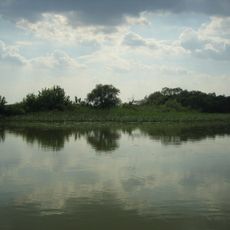
Lac Tisza
27.6 km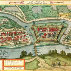
Szolnok Castle
31.3 km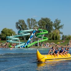
Csúszdák
13.9 km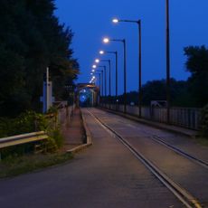
Road-rail bridge at Kisköre
10 km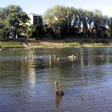
Ottoman bridge in Szolnok
31.6 km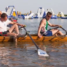
EbPart kutyastrand
23.5 km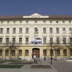
János Damjanich Museum
31.5 km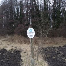
Hevesi Füves Puszták (steppes) Protected Landscape Area
25 km
Kumánia Gyógy- és Strandfürdő
30.5 km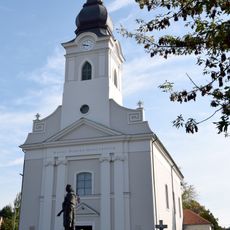
Our Lady of Hungary Church, Szolnok
31.3 km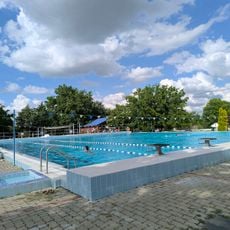
Tölgyes Strand
26 km
Zone de protection paysagère de la Moyenne-Tisza
15.5 km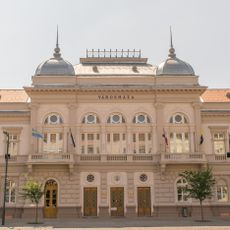
Városháza
31.6 km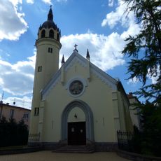
Luterana preĝejo (Szolnok)
31.7 km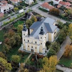
Church of the Nativity of the Virgin Mary
26.4 km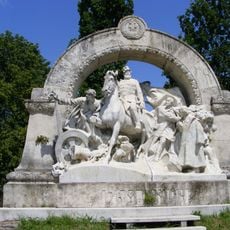
János Damjanich memorial by Béla Radnai
31.3 km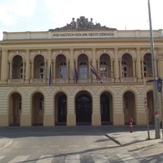
Jász-Nagykun-Szolnok County Hall
31.5 km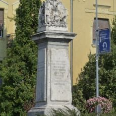
Memorial of the Battle of Szolnok (1849)
31.4 km
Verseghy Ferenc Megyei Könyvtár
31.5 km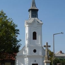
Saint Francis Xavier Chapel, Szolnok
31.6 km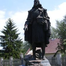
Statue of Stephen I of Hungary by Sándor Györfi
26.6 km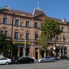
National Hotel, Szolnok
31.7 km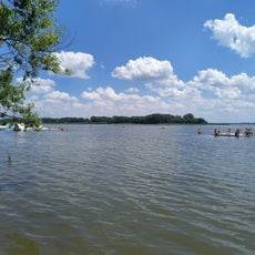
Ring-a-tó
13 km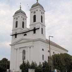
Reformed Church (Kunhegyes)
14 km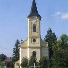
Preĝejo de Stefano la 1-a (Hungario) (Kőtelek)
7.6 km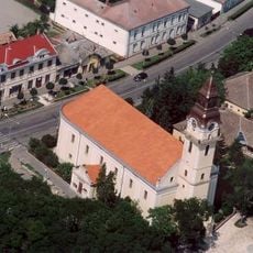
Reformed Church in Kisújszállás
30.9 km
Reformed Church, Törökszentmiklós
24.7 km
Református templom (Tiszaderzs)
19.2 kmAvis
Vous avez visité ce lieu ? Touchez les étoiles pour le noter et partager votre expérience ou vos photos avec la communauté ! Essayez maintenant ! Vous pouvez annuler à tout moment.
Trouvez des trésors cachés à chaque coin de rue !
Des petits cafés pittoresques aux points de vue planqués, fuyez la foule et dénichez les lieux qui vous ressemblent vraiment. Notre app vous facilite la vie : recherche vocale, filtres malins, itinéraires optimisés et bons plans partagés par des voyageurs du monde entier. Téléchargez vite pour vivre l'aventure en version mobile !

Une approche inédite de la découverte touristique❞
— Le Figaro
Tous les lieux qui valent la peine d'être explorés❞
— France Info
Une excursion sur mesure en quelques clics❞
— 20 Minutes