
Tótkomlós, commune hongroise
Emplacement : Orosháza District
Partage une frontière avec : Békéssámson, Kardoskút, Pusztaföldvár
Site web : https://totkomlos.hu
Coordonnées GPS : 46.41694,20.73278
Dernière mise à jour : 7 mars 2025 à 04:50
József Attila Museum, Makó
29.8 km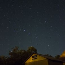
Kiss György Observatory
28.9 km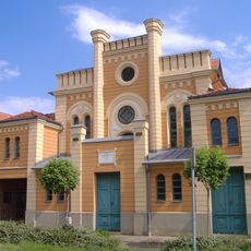
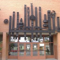
Makó Ortodox Synagogue
24.3 km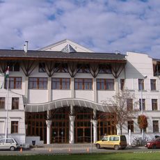
Erdei János Sports Hall
29.8 km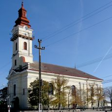
Slovak Evangelical Lutheran Church in Nădlac
27.7 km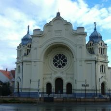
Synagogue in Hódmezővásárhely
30.9 km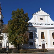
Lutheran Church (Orosháza)
16.6 km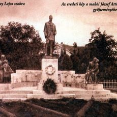
Návay Lajos-szobor
29.8 km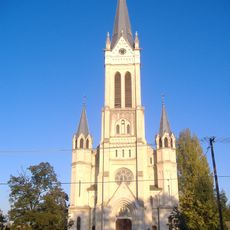
Roman Catholic Church in the newtown of Makó
28.4 km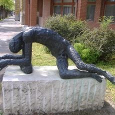
Megfáradt ember szobor
29.7 km
Erzsébet királyné szobor
29.7 km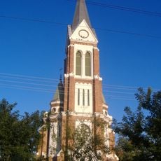
Lutheran church in Makó
28.9 km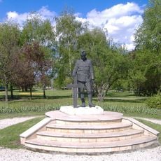
World War II Memorial, Makó
29.8 km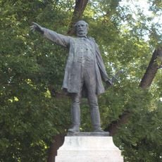
Statue of Lajos Kossuth in Orosháza
16.5 km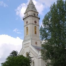
Reformed church
28.5 km
1956-os emlékmű (Makó)
29.8 km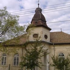
Református imaház (Makó)
28.3 km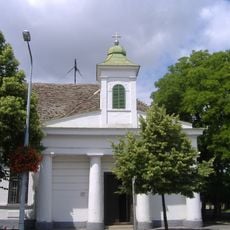
Chapelle épiscopale de Makó
29.7 km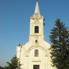
Lutheran Church, Ambrózfalva
7.4 km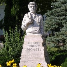
Erdei Ferenc-szobor (Erdei Ferenc tér)
29.4 km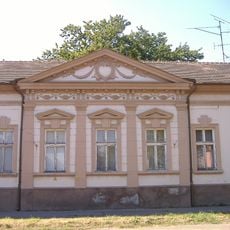
Dózsa–Felletár-ház
29.6 km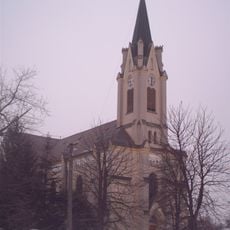
Saint Teresa of Ávila Church
25.2 km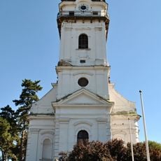
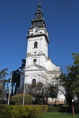
Lutheran Church, Tótkomlós
658 m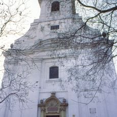
New Reformed Church (Hódmezővásárhely)
31 km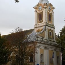
Saint John of Nepomuk Church
19.4 km
Szent Alajos templom (Nagymágocs)
27.7 km
Holy Trinity church in Battonya
26.4 km
Church of the Nativity of the Virgin Mary in Mezőkovácsháza
12.1 kmAvis
Vous avez visité ce lieu ? Touchez les étoiles pour le noter et partager votre expérience ou vos photos avec la communauté ! Essayez maintenant ! Vous pouvez annuler à tout moment.
Trouvez des trésors cachés à chaque coin de rue !
Des petits cafés pittoresques aux points de vue planqués, fuyez la foule et dénichez les lieux qui vous ressemblent vraiment. Notre app vous facilite la vie : recherche vocale, filtres malins, itinéraires optimisés et bons plans partagés par des voyageurs du monde entier. Téléchargez vite pour vivre l'aventure en version mobile !

Une approche inédite de la découverte touristique❞
— Le Figaro
Tous les lieux qui valent la peine d'être explorés❞
— France Info
Une excursion sur mesure en quelques clics❞
— 20 Minutes