
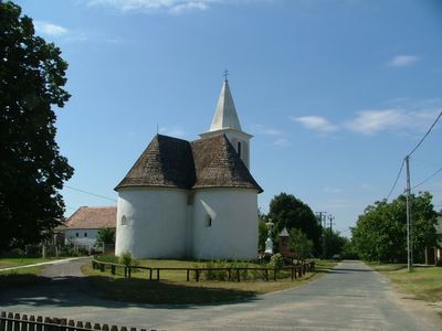
Rábaszentmiklós, commune hongroise
Emplacement : Tét District
Site web : http://rabaszentmiklos.hu
Coordonnées GPS : 47.53333,17.41667
Dernière mise à jour : 3 avril 2025 à 19:17
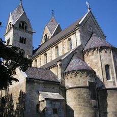
Abbey church of St James
22.8 km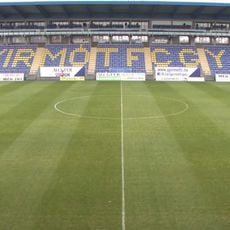
Ménfői úti Stadion
17.2 km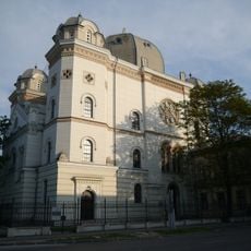
Győr Synagogue
23.1 km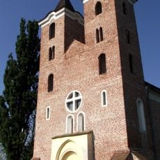
Roman Catholic church in Árpás
2.6 km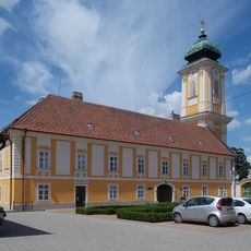
Abbaye de Csorna
15.3 km
Pannonhalmi Tájvédelmi Körzet
19.6 km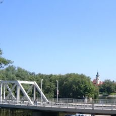
Petőfi Bridge, Győr
23.1 km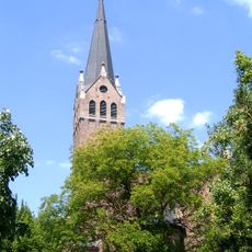
Lutheran Church, Győr-Nádorváros
22.7 km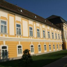
Csornai Múzeum
15.3 km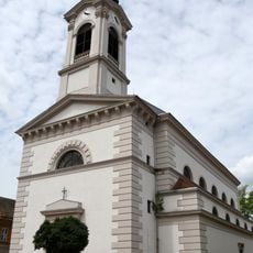
Church of the transfiguration of Jesus Christ, Győr-Újváros
22.8 km
Lutheran Church in Mórichida
2 km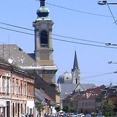
Református templom (Győr-Újváros)
22.9 km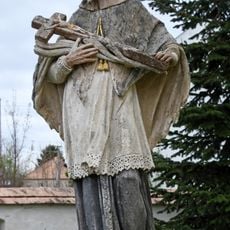
Statue of Saint John of Nepomuk
18.1 km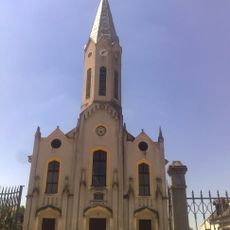
Evangélikus templom (Rábaszentandrás)
10.5 km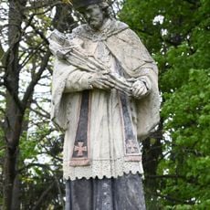
Statue of Saint John of Nepomuk
11.7 km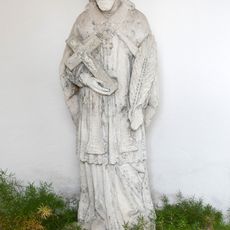
Statue of Saint John of Nepomuk
15.8 km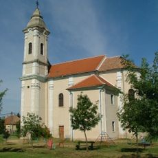
Preĝejo Stefano la 1-a
22 km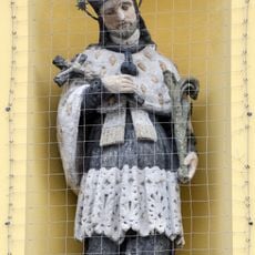
Statue of Saint John of Nepomuk
22.8 km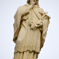
Statue of Saint John of Nepomuk
14.3 km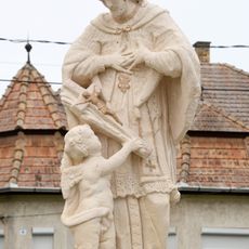
Statue of Saint John of Nepomuk
11.3 km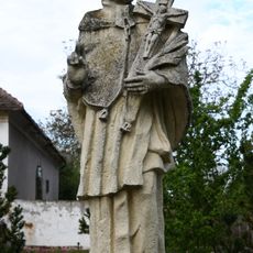
Statue of Saint John of Nepomuk
20.2 km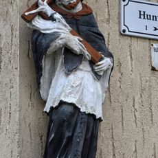
Statue of Saint John of Nepomuk
23.1 km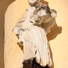
Statue of Saint John of Nepomuk
16.7 km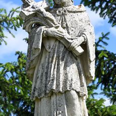
Statue of Saint John of Nepomuk
12.5 km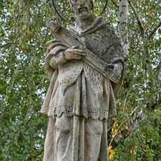
Statue of Saint John of Nepomuk
15.4 km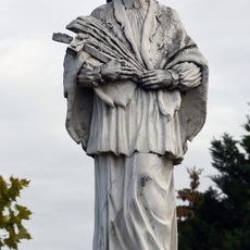
Statue of Saint John of Nepomuk
9.9 km
Statue of Saint John of Nepomuk
2.8 km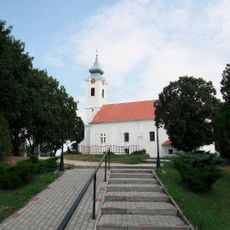
Szent György-templom
16 kmAvis
Vous avez visité ce lieu ? Touchez les étoiles pour le noter et partager votre expérience ou vos photos avec la communauté ! Essayez maintenant ! Vous pouvez annuler à tout moment.
Trouvez des trésors cachés à chaque coin de rue !
Des petits cafés pittoresques aux points de vue planqués, fuyez la foule et dénichez les lieux qui vous ressemblent vraiment. Notre app vous facilite la vie : recherche vocale, filtres malins, itinéraires optimisés et bons plans partagés par des voyageurs du monde entier. Téléchargez vite pour vivre l'aventure en version mobile !

Une approche inédite de la découverte touristique❞
— Le Figaro
Tous les lieux qui valent la peine d'être explorés❞
— France Info
Une excursion sur mesure en quelques clics❞
— 20 Minutes