
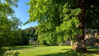
Landschaftsschutzgebiet Rinne-Rottenbachtal, protected area in Germany
Emplacement : Stadtilm
Emplacement : Bechstedt
Emplacement : Rudolstadt
Emplacement : Bad Blankenburg
Emplacement : Königsee
Création : 1972
Coordonnées GPS : 50.69920,11.14700
Dernière mise à jour : 15 mars 2025 à 00:39
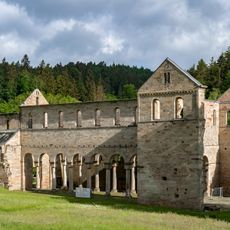
Abbaye de Paulinzella
2.9 km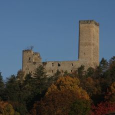
Burg Ehrenstein (Thüringen)
6.5 km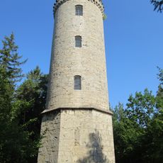
Barop Tower
6 km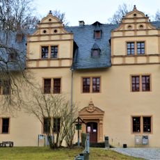
Jagdschloss Paulinzella
3 km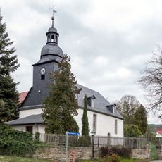
St. Jakobus
1.6 km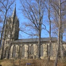
Protestant Church
5.6 km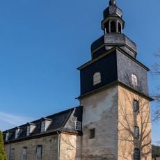
Dorfkirche Allendorf (Thüringen)
4.9 km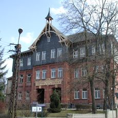
Goetheschule Königsee
5.3 km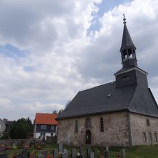
Horba church
2.7 km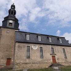
St. Nikolaus (Milbitz)
764 m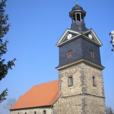
Dorfkirche Großliebringen
6.3 km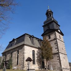
St. Wenzel
3.7 km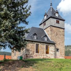
Dorfkirche Solsdorf
2 km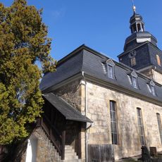
Dorfkirche Thälendorf
4.2 km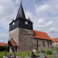
Dorfkirche Kleinliebringen
5 km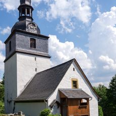
Protestant Church (Großgölitz)
5.5 km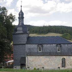
Dorfkirche Hengelbach
3.7 km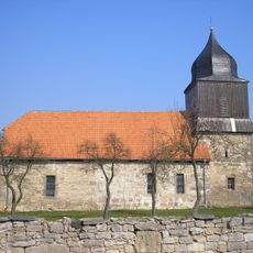
Dorfkirche Nahwinden
5.9 km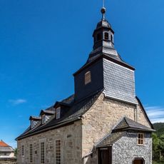
Protestant Church (Watzdorf)
6.3 km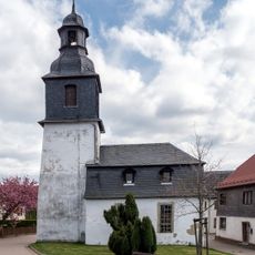
Dorfkirche Cordobang
5.3 km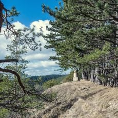
Muschelkalk-Landschaft westlich Rudolstadt
4.7 km
Protestant Church (Unterköditz)
3.2 km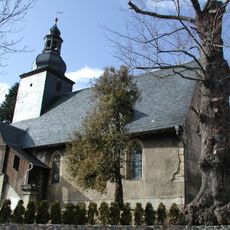
Protestant Church (Unterschöbling)
5.8 km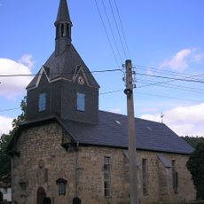
Protestant Church Gösselborn
5.6 km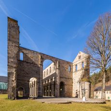
Paulinzella abbey church
3 km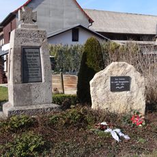
War memorial Leutnitz
4.5 km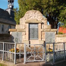
War memorial Horba
2.7 km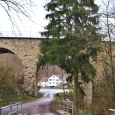
Viadukt Paulinzella
3.2 kmAvis
Vous avez visité ce lieu ? Touchez les étoiles pour le noter et partager votre expérience ou vos photos avec la communauté ! Essayez maintenant ! Vous pouvez annuler à tout moment.
Trouvez des trésors cachés à chaque coin de rue !
Des petits cafés pittoresques aux points de vue planqués, fuyez la foule et dénichez les lieux qui vous ressemblent vraiment. Notre app vous facilite la vie : recherche vocale, filtres malins, itinéraires optimisés et bons plans partagés par des voyageurs du monde entier. Téléchargez vite pour vivre l'aventure en version mobile !

Une approche inédite de la découverte touristique❞
— Le Figaro
Tous les lieux qui valent la peine d'être explorés❞
— France Info
Une excursion sur mesure en quelques clics❞
— 20 Minutes