
Mahlpfuhler Fenn, foret naturelle allemand
Emplacement : Stendal District
Création : 2011
Coordonnées GPS : 52.43110,11.72204
Dernière mise à jour : 15 juin 2025 à 13:59
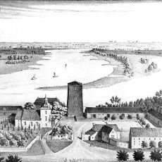
Rogätz Castle
13.6 km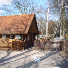
Wildpark Weißewarte
10.8 km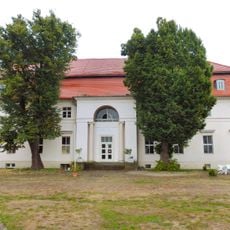
Gutshaus Kehnert
13.5 km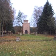
Todesmarschdenkmal Dolle
6.6 km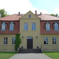
Gutshaus Vollenschier
12.1 km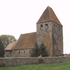
Protestant Church Buchholz (Altmark)
12.9 km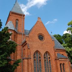
Gutskirche Vollenschier
12.2 km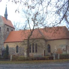
Dorfkirche Lüderitz
8.7 km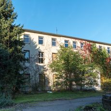
Herrenhaus Groß Schwarzlosen
8.3 km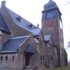
Dorfkirche Dolle
7 km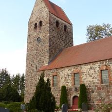
Protestant Church (Bellingen)
11.6 km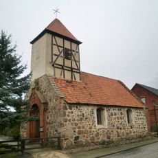
Dorfkirche Schleuß
9.3 km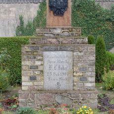
Friedrich-Ludwig-Jahn-Denkmal Dolle
7 km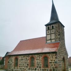
Dorfkirche Windberge
10.2 km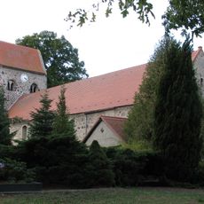
Protestant Church Groß Schwarzlosen
8.2 km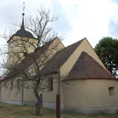
Dorfkirche Sandbeiendorf
4 km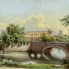
Château d'Angern
8.6 km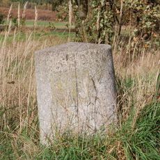
Distanzstein (Dolle)
8.2 km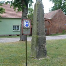
Meilenstein Blätz
6.4 km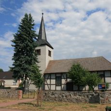
Protestant Church (Wenddorf)
5.5 km
Protestant Church (Hüselitz)
10.4 km
Protestant Church Weißewarte
11.1 km
Protestant Church Ringfurth
13.6 km
Protestant Church Stegelitz
5.9 km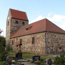
Protestant Church (Demker)
12.3 km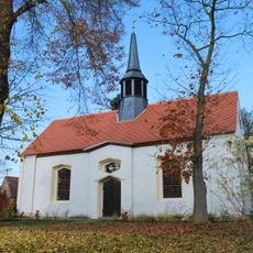
Dorfkirche Cobbel
10.5 km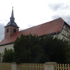
Protestant Church Kehnert
13.5 km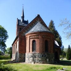
Protestant Church (Wittenmoor)
12.6 kmAvis
Vous avez visité ce lieu ? Touchez les étoiles pour le noter et partager votre expérience ou vos photos avec la communauté ! Essayez maintenant ! Vous pouvez annuler à tout moment.
Trouvez des trésors cachés à chaque coin de rue !
Des petits cafés pittoresques aux points de vue planqués, fuyez la foule et dénichez les lieux qui vous ressemblent vraiment. Notre app vous facilite la vie : recherche vocale, filtres malins, itinéraires optimisés et bons plans partagés par des voyageurs du monde entier. Téléchargez vite pour vivre l'aventure en version mobile !

Une approche inédite de la découverte touristique❞
— Le Figaro
Tous les lieux qui valent la peine d'être explorés❞
— France Info
Une excursion sur mesure en quelques clics❞
— 20 Minutes