
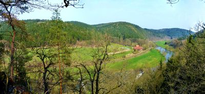
Elstertal zwischen Greiz und Wünschendorf
Elstertal zwischen Greiz und Wünschendorf, protected area in the European Union defined by the habitats directive in Thüringen, Germany
Emplacement : Greiz
Création : septembre 2000
Coordonnées GPS : 50.72469,12.17344
Dernière mise à jour : 3 mars 2025 à 02:45
Schloss Dryfels
3.1 km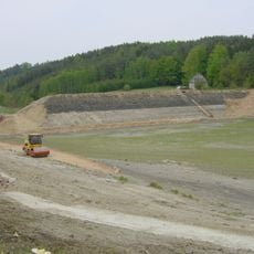
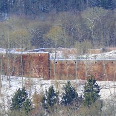
Talsperre Krebsbach
3.9 km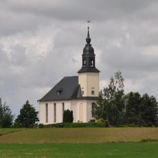
Dorfkirche Sorge-Settendorf
3.3 km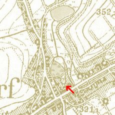
Alter Schlossberg (Teichwolframsdorf)
5.2 km
Töpferberg
5.2 km
Kirchgemeindesaal Gommla
3.5 km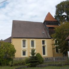
Hoffnungskirche Clodra
5.4 km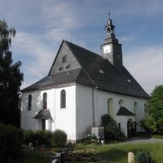
Dorfkirche Nitschareuth
3.5 km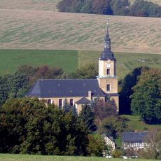
Dorfkirche Teichwolframsdorf
4.7 km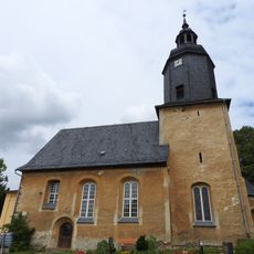
St. Georg (Tschirma)
2.9 km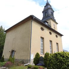
Protestant Church Großkundorf
3 km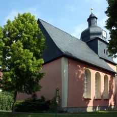
Kirche Hohenölsen
3.1 km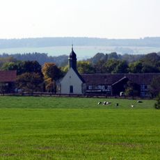
Dorfkirche Wittchendorf
4.8 km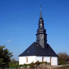
St. Georg (Kühdorf)
4.9 km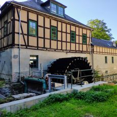
Clodramühle
4.9 km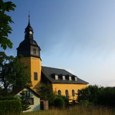
St. Erhard (Berga/Elster)
3.3 km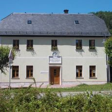
Heimatmuseum Spittel
3.2 km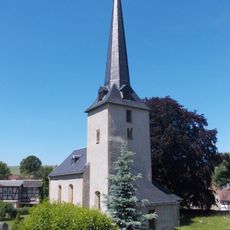
Protestant Church Wernsdorf
5.9 km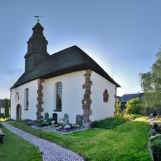
Protestant Church Albersdorf (Berga)
4.3 km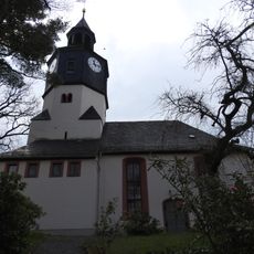
Protestant Church Waltersdorf
1.3 km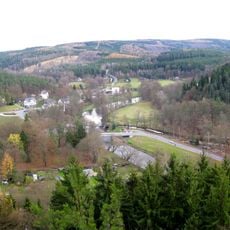
Wälder um Greiz und Werdau
4.9 km
Elstertal zwischen Greiz und Wünschendorf
3.4 km
Station 124 Sorge
3.3 km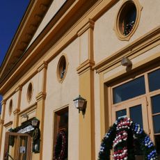
Klubhaus Berga
3.1 km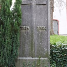
War memorial Waltersdorf (Mohlsdorf-Teichwolframsdorf)
1.3 km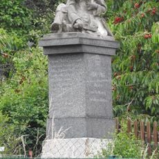
War memorial Daßlitz
4.8 km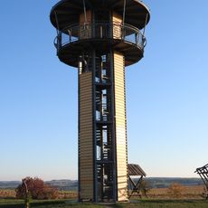
Kreuztanne Observation Tower
3.5 km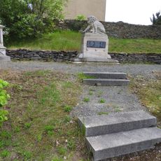
War memorial Großkundorf
3 kmVous avez visité ce lieu ? Touchez les étoiles pour le noter et partager votre expérience ou vos photos avec la communauté ! Essayez maintenant ! Vous pouvez annuler à tout moment.
Trouvez des trésors cachés à chaque coin de rue !
Des petits cafés pittoresques aux points de vue planqués, fuyez la foule et dénichez les lieux qui vous ressemblent vraiment. Notre app vous facilite la vie : recherche vocale, filtres malins, itinéraires optimisés et bons plans partagés par des voyageurs du monde entier. Téléchargez vite pour vivre l'aventure en version mobile !

Une approche inédite de la découverte touristique❞
— Le Figaro
Tous les lieux qui valent la peine d'être explorés❞
— France Info
Une excursion sur mesure en quelques clics❞
— 20 Minutes