
Stadel, landing; Bundwerkstadel mit Flachsatteldach, drittes Viertel 19. Jahrhundert, und überbautem Getreidekasten in Blockbauweise, 17. Jahrhundert
Emplacement : Bad Endorf
Adresse : In Landing
Coordonnées GPS : 47.91099,12.28346
Dernière mise à jour : 3 mars 2025 à 13:21
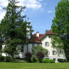
Château de Hartmannsberg
4.6 km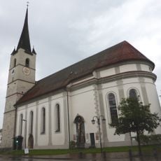
Church of the Assumption, Halfing, Bavaria, Germany
4.6 km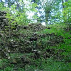
Burgruine Speckerturm
3.6 km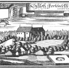
Hofmark Halfing
4.7 km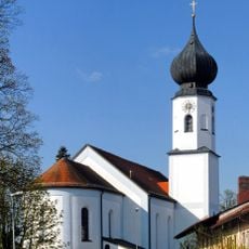
St. Jakobus
1.1 km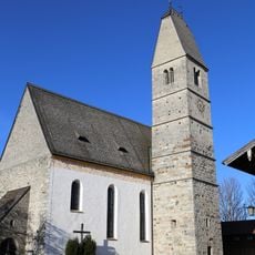
Mariä Himmelfahrt
3.4 km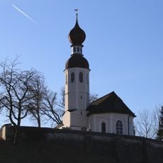
St. Andreas
3 km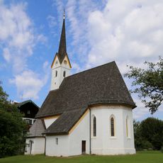
St. Bartholomäus (Guntersberg)
2.6 km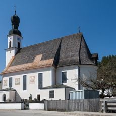
Filial- und Wallfahrtskirche Mariä Himmelfahrt, Antwort
2.7 km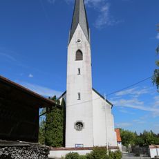
Katholische Kuratiekirche St. Rupert und Laurentius
4.4 km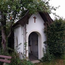
Chiemseeweg 5
1.9 km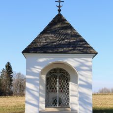
Feldkapelle Holzen
4.2 km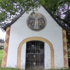
Ehem. Schlosskapelle Forchtenegg
4.9 km
LSG Moor- und Tallandschaften bei Söchtenau
3.5 km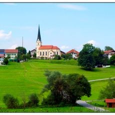
St. Peter
3.7 km
Marias Kino
1.2 km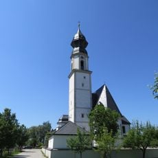
St. Margaretha
4.6 km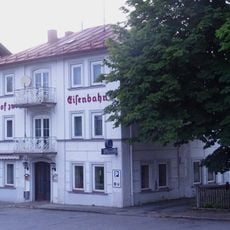
Bahnhofstraße 37
1.4 km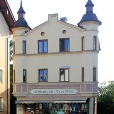
Bahnhofstraße 26
1.3 km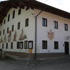
Ehemaliger Gasthof in Form eines Einfirsthofes
4.4 km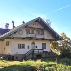
Landhaus
778 m
Landhaus
836 m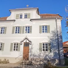
Pfarrhaus
1 km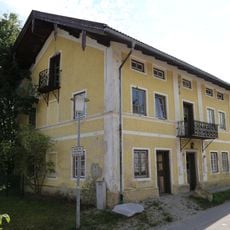
Rosenheimer Straße 3a
1 km
Stadel
1.4 km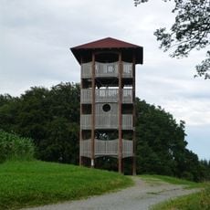
Ratzinger Höhe Observation Tower
4.9 km
Bahnhofplatz 3
1.6 km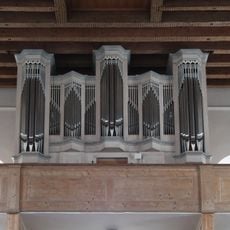
Orgel der Katholische Pfarrkirche St. Jakobus der Ältere - Bad Endorf
1.1 kmAvis
Vous avez visité ce lieu ? Touchez les étoiles pour le noter et partager votre expérience ou vos photos avec la communauté ! Essayez maintenant ! Vous pouvez annuler à tout moment.
Trouvez des trésors cachés à chaque coin de rue !
Des petits cafés pittoresques aux points de vue planqués, fuyez la foule et dénichez les lieux qui vous ressemblent vraiment. Notre app vous facilite la vie : recherche vocale, filtres malins, itinéraires optimisés et bons plans partagés par des voyageurs du monde entier. Téléchargez vite pour vivre l'aventure en version mobile !

Une approche inédite de la découverte touristique❞
— Le Figaro
Tous les lieux qui valent la peine d'être explorés❞
— France Info
Une excursion sur mesure en quelques clics❞
— 20 Minutes