
Ringwall Unterbuch, château fort allemand
Emplacement : Vilshofen an der Donau
Coordonnées GPS : 48.65234,13.13759
Dernière mise à jour : 11 juin 2025 à 04:02
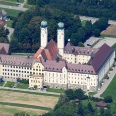
Abbaye de Schweiklberg
3.8 km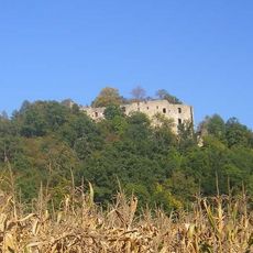
Burgruine Hilgartsberg
1.5 km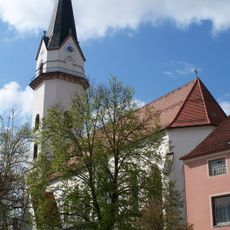
Pfarrkirche Mariä Himmelfahrt
3.2 km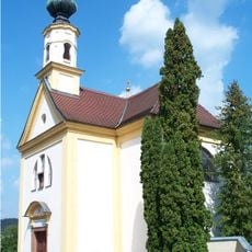
Wallfahrtskirche Maria-Hilf
3 km
Katholische Friedhofskirche St. Barbara
3.1 km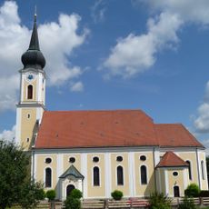
St. Stephan
1.4 km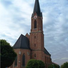
St. Josef
2.5 km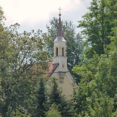
Katholische Wallfahrtskapelle Maria Hilf
1.1 km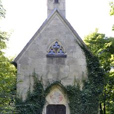
Albersdorfer Hauptstraße 1 - Wegkapelle
3.6 km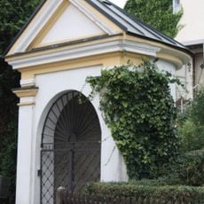
Wegkapelle, sogenannte Brunnenkapelle
3 km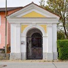
Katholische Dreifaltigkeitskapelle
1.3 km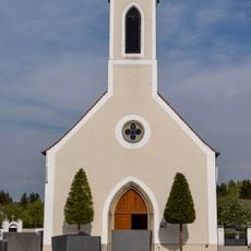
Katholische Friedhofskapelle St. Stephan
1.7 km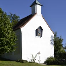
Katholische Wallfahrtskapelle, sogenannte Bründlkapelle
2.6 km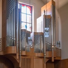
Organ of the Catholic Abbey Church Holy Trinity
3.8 km
Allee Schweiklberg 1 in Vilshofen an der Donau
3.7 km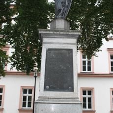
Kriegerdenkmal für 1870/71
3.8 km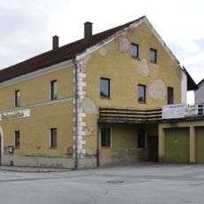
Gasthof
1.5 km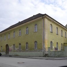
Ehemaliger Brauereigasthof
1.4 km
Friedhofsmauer Schweiklberg 1 in Vilshofen an der Donau
3.8 km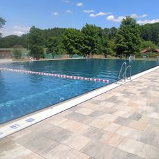
Freibad Hofkirchen
3.3 km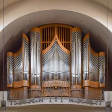
Orgel der Katholische Abteikirche Heilige Dreifaltigkeit
3.8 km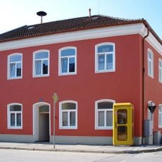
Ehemaliges Schulhaus
1.5 km
Wohnhaus
3.6 km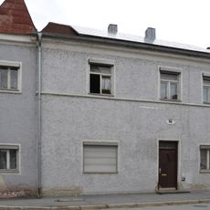
Wohnhaus
1.5 km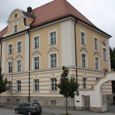
Ehemaliges Landratsamt, heute Finanzamt
3.7 km
Ehemaliges kurfürstliches weißes Brauhaus
3.7 km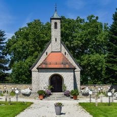
Friedhofskapelle Schweiklberg 1 in Vilshofen an der Donau
3.8 km
Klosterkirche
3.8 kmAvis
Vous avez visité ce lieu ? Touchez les étoiles pour le noter et partager votre expérience ou vos photos avec la communauté ! Essayez maintenant ! Vous pouvez annuler à tout moment.
Trouvez des trésors cachés à chaque coin de rue !
Des petits cafés pittoresques aux points de vue planqués, fuyez la foule et dénichez les lieux qui vous ressemblent vraiment. Notre app vous facilite la vie : recherche vocale, filtres malins, itinéraires optimisés et bons plans partagés par des voyageurs du monde entier. Téléchargez vite pour vivre l'aventure en version mobile !

Une approche inédite de la découverte touristique❞
— Le Figaro
Tous les lieux qui valent la peine d'être explorés❞
— France Info
Une excursion sur mesure en quelques clics❞
— 20 Minutes