
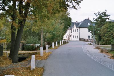
Rückersdorf, municipality in Thuringia, Germany
Emplacement : Greiz
Altitude : 320 m
Site web : http://rueckersdorf.org
Coordonnées GPS : 50.81667,12.21667
Dernière mise à jour : 13 mars 2025 à 05:12
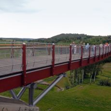
Drachenschwanz Brücke
5.7 km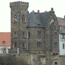
Schloss Ronneburg
5.7 km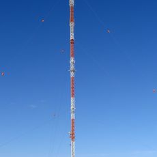
Sender Gera-Ronneburg
612 m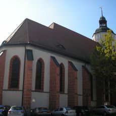
Stadtkirche St. Marien
5.6 km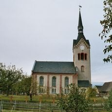
Dorfkirche Nischwitz
4.1 km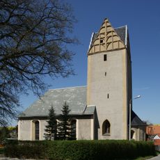
Protestant Church Wolfersdorf
4.9 km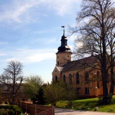
Kirche Rückersdorf
561 m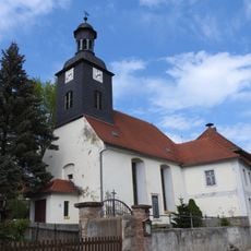
Kirche Kauern
5.9 km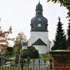
Protestant Church Linda
2.2 km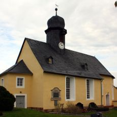
St. Elisabeth (Letzendorf)
5 km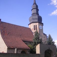
Protestant Church (Heukewalde)
4.5 km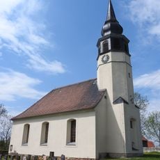
Protestant Church Hilbersdorf
4.7 km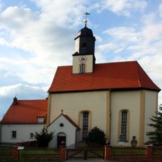
Kirche Gauern
3.2 km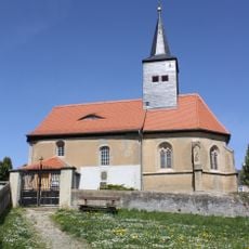
Protestant Church (Reust)
2.1 km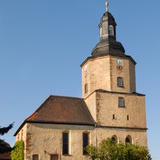
Protestant Church (Paitzdorf)
3.3 km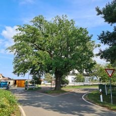
Friedens-Eiche
4.5 km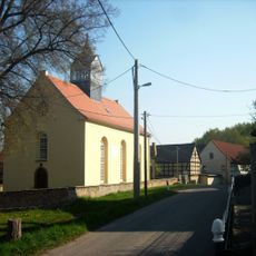
Protestant Church (Mennsdorf)
3.9 km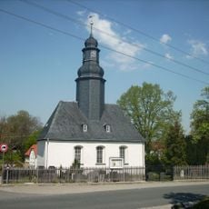
Protestant Church (Vogelgesang)
2 km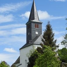
Protestant Church (Haselbach)
2 km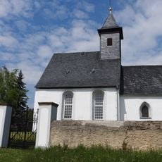
Protestant Church (Pohlen)
3.8 km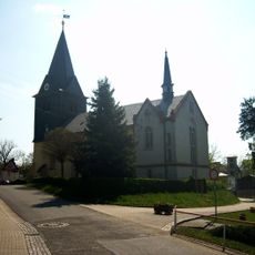
Protestant Church (Braunichswalde)
2 km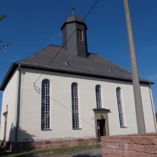
Protestant Church (Raitzhain)
5.7 km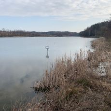
Talsperre Pohlen
4 km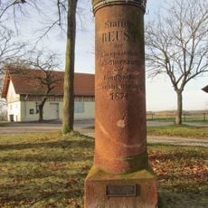
Station 22 Reust
2.2 km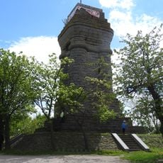
Bismarck Tower
2.2 km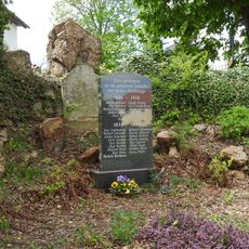
War memorial Haselbach (Rückersdorf)
2 km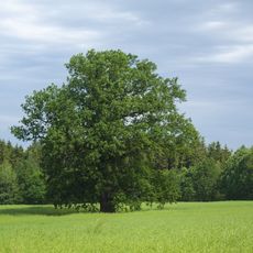
Richter-Eiche nördlich Blankenhain
4.8 km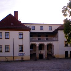
Schloss Kauern
5.9 kmAvis
Vous avez visité ce lieu ? Touchez les étoiles pour le noter et partager votre expérience ou vos photos avec la communauté ! Essayez maintenant ! Vous pouvez annuler à tout moment.
Trouvez des trésors cachés à chaque coin de rue !
Des petits cafés pittoresques aux points de vue planqués, fuyez la foule et dénichez les lieux qui vous ressemblent vraiment. Notre app vous facilite la vie : recherche vocale, filtres malins, itinéraires optimisés et bons plans partagés par des voyageurs du monde entier. Téléchargez vite pour vivre l'aventure en version mobile !

Une approche inédite de la découverte touristique❞
— Le Figaro
Tous les lieux qui valent la peine d'être explorés❞
— France Info
Une excursion sur mesure en quelques clics❞
— 20 Minutes