
Kraftsdorf, commune allemande
Emplacement : Greiz
Altitude : 270 m
Partage une frontière avec : Bad Klosterlausnitz, Hartmannsdorf, Lindenkreuz
Site web : http://kraftsdorf.de
Coordonnées GPS : 50.87583,11.91389
Dernière mise à jour : 8 avril 2025 à 23:19
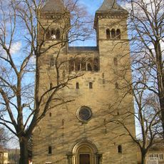
Kirche Klosterlausnitz
5.3 km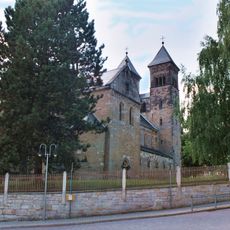
Lausnitz monastery
5.4 km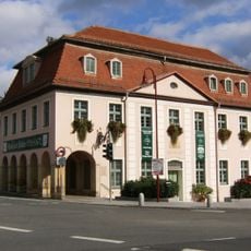
Heinrich-Schütz-Haus Bad Köstritz
9.1 km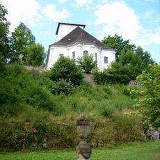
St. Leonhard
9 km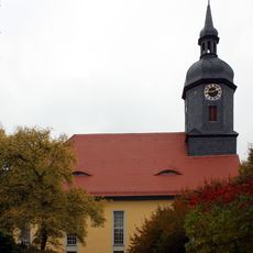
St. Salvator
4.4 km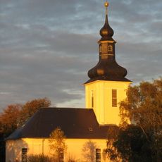
Pfarrkirche
2.8 km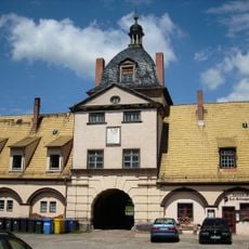
Schloss Bad Köstritz
9 km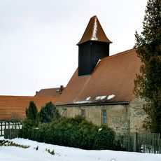
Protestant Church (Tautenhain)
5.9 km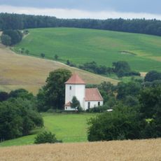
Protestant Church Geißen
6.2 km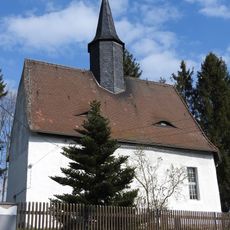
St. Markus (Schöna)
5.2 km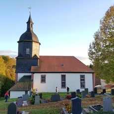
Church Lindenkreuz
3.7 km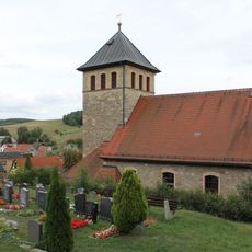
Protestant Church
2.3 km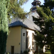
Dorfkirche Rüdersdorf
4.1 km
Allerheiligenkirche
6.9 km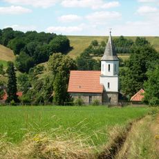
Dorfkirche Seifartsdorf
8.3 km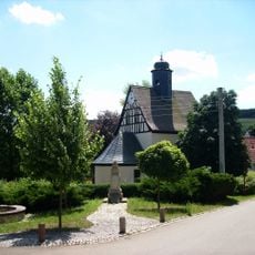
Protestant Church
8.3 km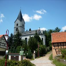
Dorfkirche Reichardtsdorf
6.3 km
Protestant Church Großsaara
4.9 km
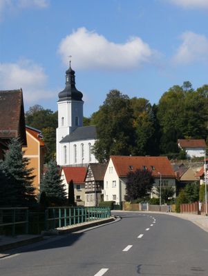
St. Peter and Paul (Kraftsdorf)
197 m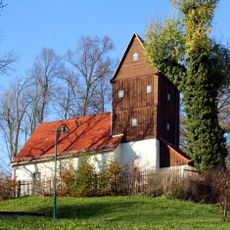
Protestant Church
5.1 km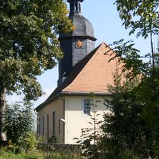
Protestant Church (Reichenbach)
2.3 km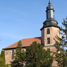
Protestant Church Waltersdorf
3.2 km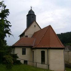
Protestant Church Hartmannsdorf
7.2 km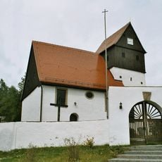
Protestant Church Niederndorf
4.4 km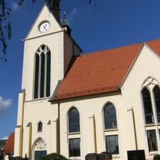
Protestant Church (Oberndorf)
1.9 km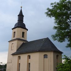
St. Johannis (Markersdorf)
7.4 km
Protestant Church Mühlsdorf
7.1 km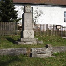
War memorial Schöna (Münchenbernsdorf)
5.2 kmVous avez visité ce lieu ? Touchez les étoiles pour le noter et partager votre expérience ou vos photos avec la communauté ! Essayez maintenant ! Vous pouvez annuler à tout moment.
Trouvez des trésors cachés à chaque coin de rue !
Des petits cafés pittoresques aux points de vue planqués, fuyez la foule et dénichez les lieux qui vous ressemblent vraiment. Notre app vous facilite la vie : recherche vocale, filtres malins, itinéraires optimisés et bons plans partagés par des voyageurs du monde entier. Téléchargez vite pour vivre l'aventure en version mobile !

Une approche inédite de la découverte touristique❞
— Le Figaro
Tous les lieux qui valent la peine d'être explorés❞
— France Info
Une excursion sur mesure en quelques clics❞
— 20 Minutes