
Ruhland, commune allemande
Emplacement : Oberspreewald-Lausitz District
Altitude : 96 m
Site web : https://amt-ruhland.de/amtsgemeinden/ruhland
Coordonnées GPS : 51.45661,13.86426
Dernière mise à jour : 3 mars 2025 à 01:24

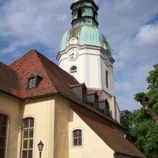
Stadtkirche Ruhland
310 m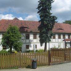
Gutshof in Ruhland
247 m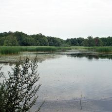
Sorgenteich
3.6 km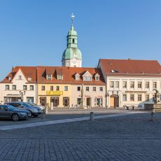
Marktplatz in Ruhland
292 m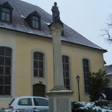
Germaniadenkmal in Ruhland
287 m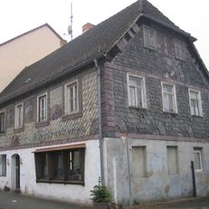
Category:Berliner Straße 18 (Ruhland); Christian Gottlieb Schneider und seine Nachkommen
376 m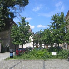
Brauhausplatz in Ruhland
272 m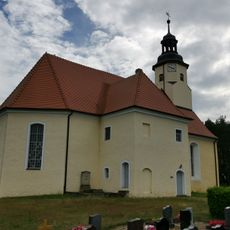
Dorfkirche Hermsdorf
6.1 km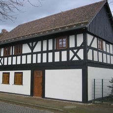
Dresdener Straße 35
33 m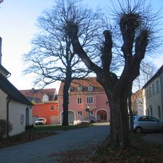
Kirchplatz in Ruhland
321 m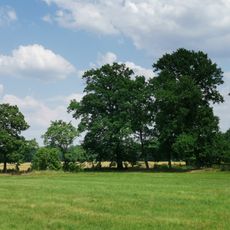
Elsterniederung und westliche Oberlausitzer Heide zwischen Senftenberg und Ortrand
2.2 km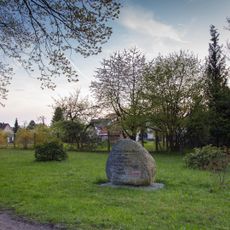
Prinzess-Luisen-Gedenkstein
564 m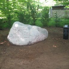
Geschwister-Scholl-Gedenkstein in Ruhland
942 m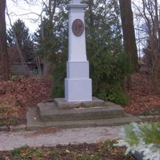
Moltke-Denkmal
504 m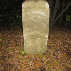
Mordweg-Stein
1 km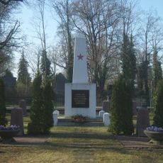
Soviet military cemetery Ruhland
280 m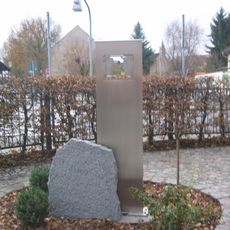
Geschwister-Scholl-Gedenkstätte an der Schule Ruhland
62 m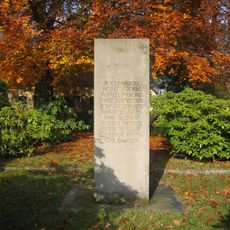
Second world war victims memorial stele at cemetery Ruhland
345 m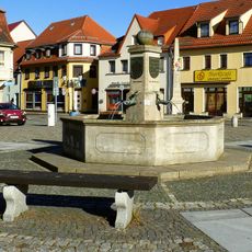
Marktbrunnen
288 m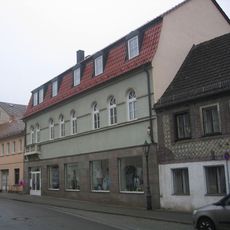
Berliner Straße 18
351 m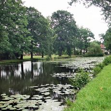
Dorfteich Hermsdorf
6.3 km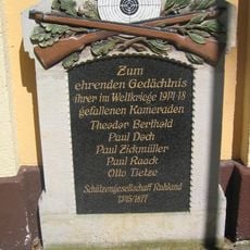
Kriegerdenkmal Erster Weltkrieg
548 m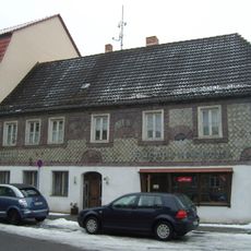
Berliner Straße 19
376 m
Stieleiche
2 km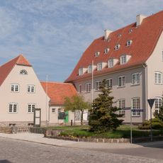
Rudolf-Breitscheid-Straße 4, Amtsgericht
174 m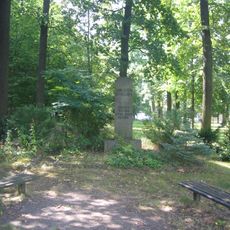
Ehrenhain in Ruhland
381 m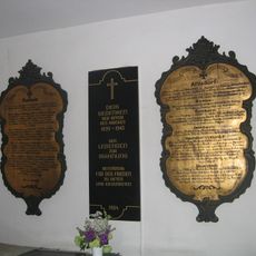
Gedenktafel Erster Weltkrieg
321 m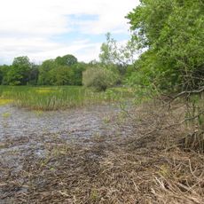
Sorgenteich
3.6 kmVous avez visité ce lieu ? Touchez les étoiles pour le noter et partager votre expérience ou vos photos avec la communauté ! Essayez maintenant ! Vous pouvez annuler à tout moment.
Trouvez des trésors cachés à chaque coin de rue !
Des petits cafés pittoresques aux points de vue planqués, fuyez la foule et dénichez les lieux qui vous ressemblent vraiment. Notre app vous facilite la vie : recherche vocale, filtres malins, itinéraires optimisés et bons plans partagés par des voyageurs du monde entier. Téléchargez vite pour vivre l'aventure en version mobile !

Une approche inédite de la découverte touristique❞
— Le Figaro
Tous les lieux qui valent la peine d'être explorés❞
— France Info
Une excursion sur mesure en quelques clics❞
— 20 Minutes