
Sloup se sochou svatého Jana Nepomuckého, kulturní památka České republiky na území obce Dolní Olešnice
Emplacement : Dolní Olešnice
Coordonnées GPS : 50.52537,15.70728
Dernière mise à jour : 6 mars 2025 à 18:49

Olivet Chapel
2 km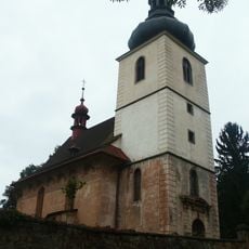
Church of Saint James (Dolní Olešnice)
317 m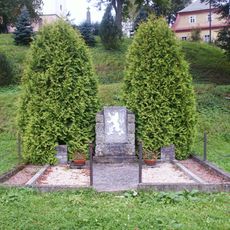
Pomník osvobození
285 m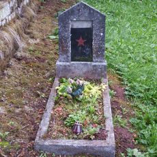
Hrob Rudoarmějce
312 m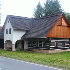
Venkovská usedlost
1.8 km
Náměstí čp. 62
2 km
Horní Brána čp. 66
2 km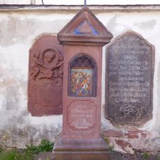
9th station of the cross in Hostinné
2 km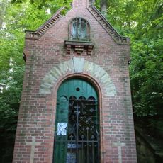
Virgin Mary chapel at Poštovní dvůr
1.2 km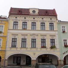
Náměstí čp. 61
2 km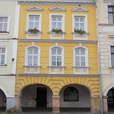
Náměstí čp. 60
2 km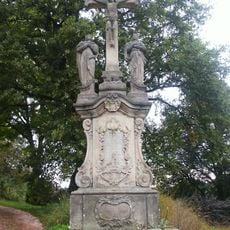
Sousoší Kalvárie
313 m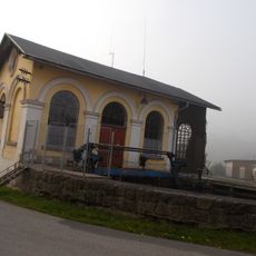
Labský mlýn hydro power station
2 km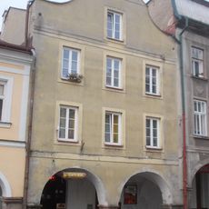
Náměstí čp. 64
2 km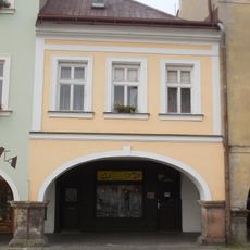
Náměstí čp. 63
2 km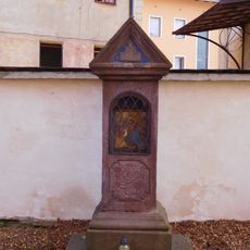
6th station of the cross in Hostinné
2 km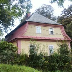
Fara
271 m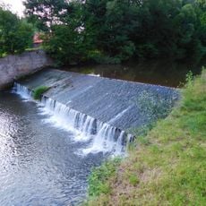
Weir in Hostinné (Elbe 218,9 km)
1.7 km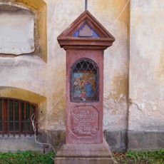
8th station of the cross in Hostinné
2 km
7th station of the cross in Hostinné
2 km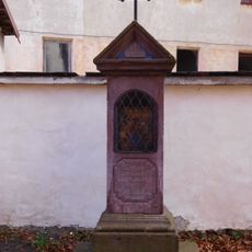
5th station of the cross in Hostinné
2 km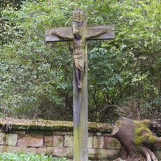
Cemetery cross in Dolní Olešnice
324 m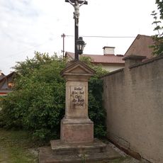
Cross in Labská fortna street
2 km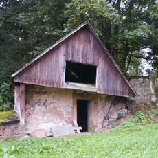
Cemetery in Dolní Olešnice
319 m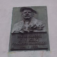
Pamětní deska Karla Klíče v Hostinném
2 km
Horní Olešnice municipal office
2 km
Bell tower in Luční street
1.8 km
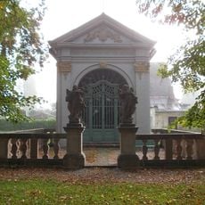
Cemetery gate in Dolní Olešnice
301 mVous avez visité ce lieu ? Touchez les étoiles pour le noter et partager votre expérience ou vos photos avec la communauté ! Essayez maintenant ! Vous pouvez annuler à tout moment.
Trouvez des trésors cachés à chaque coin de rue !
Des petits cafés pittoresques aux points de vue planqués, fuyez la foule et dénichez les lieux qui vous ressemblent vraiment. Notre app vous facilite la vie : recherche vocale, filtres malins, itinéraires optimisés et bons plans partagés par des voyageurs du monde entier. Téléchargez vite pour vivre l'aventure en version mobile !

Une approche inédite de la découverte touristique❞
— Le Figaro
Tous les lieux qui valent la peine d'être explorés❞
— France Info
Une excursion sur mesure en quelques clics❞
— 20 Minutes