
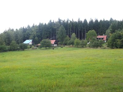
Hájemství, village in Trutnov District of Hradec Králové region
Emplacement : Vítězná
Coordonnées GPS : 50.49060,15.77310
Dernière mise à jour : 6 mars 2025 à 15:18

Les Království Reservoir
3.6 km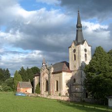
Church of Saints Peter and Paul
3.5 km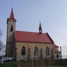
Church of Saint John of Nepomuk
3.1 km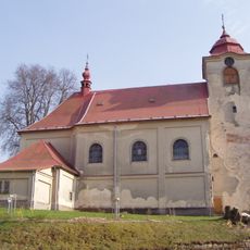
Church of Saint Wenceslaus
2.2 km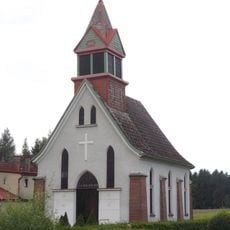
Chapel of the Sacred Heart
2.1 km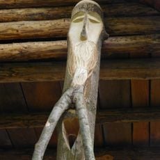
Forest spirit
393 m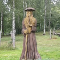
Statue of Rübezahl in Hájemství
390 m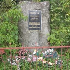
World War I Memorial in Dolní Nemojov
3.4 km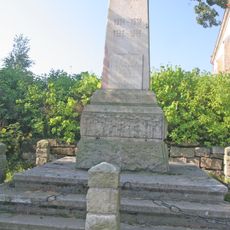
Pomník obětem 1. a 2. světové války
3.1 km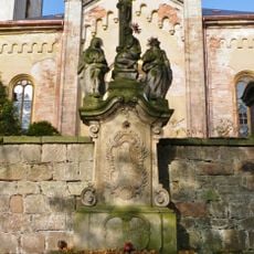
Sloup se sousoším Kalvárie
3.5 km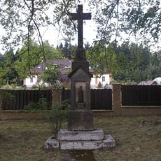
Cross in Nový Nemojov
2.8 km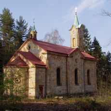
Church of the Visitation of Our Lady in Kocléřov
844 m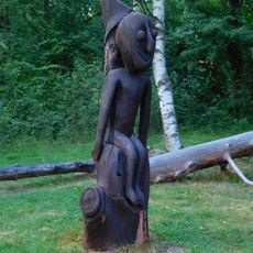
Human figure
427 m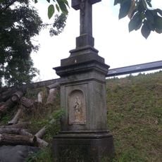
Cross in Debrné
2.9 km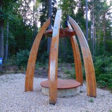
Resting Place
815 m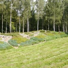
Model of Giant Mountains
426 m
Native American
404 m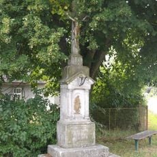
Cross in Starobucké Debrné
2.1 km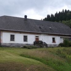
Dům čp. 7
3.4 km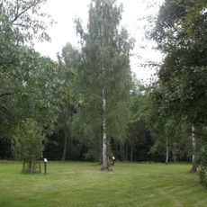
Naučná stezka Lesem Království
373 m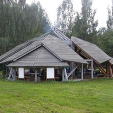
Pavilion in Hájemství
493 m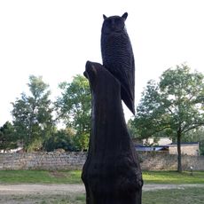
Owl
451 m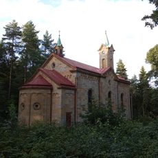
U Studánky pilgrimage site
874 m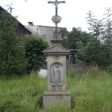
Cross in Horní Nemojov
2.9 km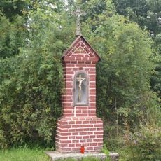
Chapel-shrine in Starobucké Debrné
2.3 km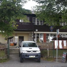
Nemojov municipal office
3 km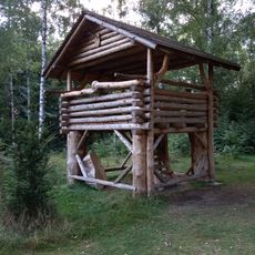
Hájemství observation tower
404 m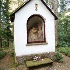
Mount Olive chapel in Kocléřov
916 mVous avez visité ce lieu ? Touchez les étoiles pour le noter et partager votre expérience ou vos photos avec la communauté ! Essayez maintenant ! Vous pouvez annuler à tout moment.
Trouvez des trésors cachés à chaque coin de rue !
Des petits cafés pittoresques aux points de vue planqués, fuyez la foule et dénichez les lieux qui vous ressemblent vraiment. Notre app vous facilite la vie : recherche vocale, filtres malins, itinéraires optimisés et bons plans partagés par des voyageurs du monde entier. Téléchargez vite pour vivre l'aventure en version mobile !

Une approche inédite de la découverte touristique❞
— Le Figaro
Tous les lieux qui valent la peine d'être explorés❞
— France Info
Une excursion sur mesure en quelques clics❞
— 20 Minutes