
Zezèle, municipality in the canton of Bern, Switzerland
Site web : https://siselen.ch
Coordonnées GPS : 47.03251,7.18826
Dernière mise à jour : 22 avril 2025 à 14:01
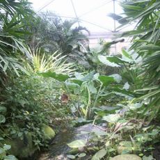
Papiliorama
4.9 km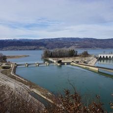
Power station and weir
3.1 km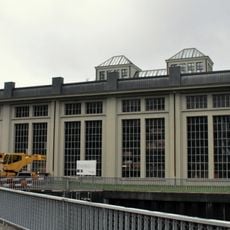
Kallnach power station
3.3 km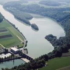
Niederriedsee
5.6 km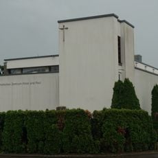
Katholische Kirche Täuffelen
4 km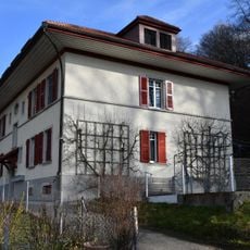
Residential building for power plant employees (1914)
3.1 km
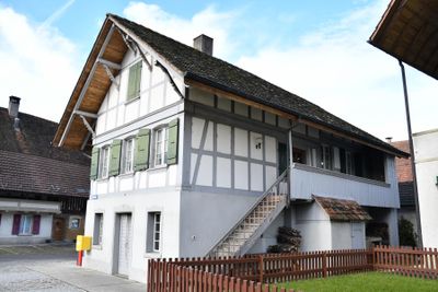
Former farmhouse (1837)
5.8 km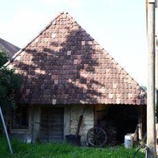
Ovenhouse (19th c.)
2.8 km
Farmhouse (1839)
5.5 km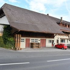
Former inn "Kreuz"
1 km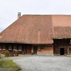
Former farmhouse (1696)
5.7 km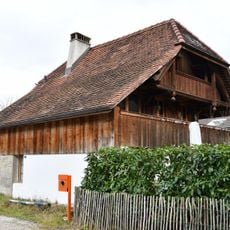
Stöckli (around 1830)
5.7 km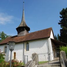
Reformed church with parsonage
5.8 km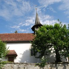
Reformed church
4 km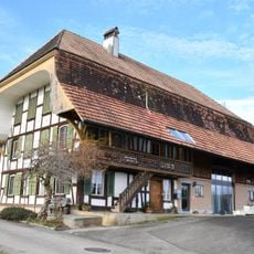
Former farmhouse (2nd quarter 19th c.)
1.3 km
Former bakehouse
5.8 km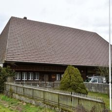
Former farmhouse (around 1800)
5.2 km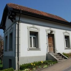
Former municipal administrator's office
5.7 km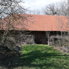
Farmhouse (about 1800)
5.5 km
Former farmhouse (1783)
5.5 km
Community bakehouse
5.7 km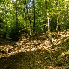
Iron age tumulus group
4 km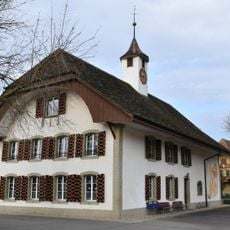
School house (1830)
3.5 km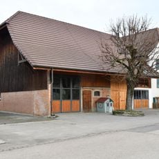
Wohnstock (17th/18th c.)
3.3 km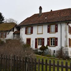
Rectory and parish building (16th c.)
3.8 km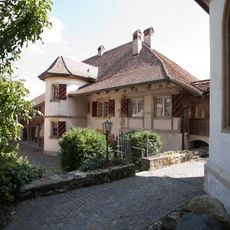
Cure
4.2 km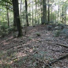
Hallstatt period burial mound group
3.8 km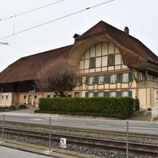
Farmhouse (around 1880)
2.7 kmAvis
Vous avez visité ce lieu ? Touchez les étoiles pour le noter et partager votre expérience ou vos photos avec la communauté ! Essayez maintenant ! Vous pouvez annuler à tout moment.
Trouvez des trésors cachés à chaque coin de rue !
Des petits cafés pittoresques aux points de vue planqués, fuyez la foule et dénichez les lieux qui vous ressemblent vraiment. Notre app vous facilite la vie : recherche vocale, filtres malins, itinéraires optimisés et bons plans partagés par des voyageurs du monde entier. Téléchargez vite pour vivre l'aventure en version mobile !

Une approche inédite de la découverte touristique❞
— Le Figaro
Tous les lieux qui valent la peine d'être explorés❞
— France Info
Une excursion sur mesure en quelques clics❞
— 20 Minutes