
Willadingen, commune suisse
Emplacement : Emmental administrative district
Altitude : 465 m
Site web : https://www.willadingen.ch
Site web : https://willadingen.ch
Coordonnées GPS : 47.14500,7.61472
Dernière mise à jour : 4 mars 2025 à 06:03
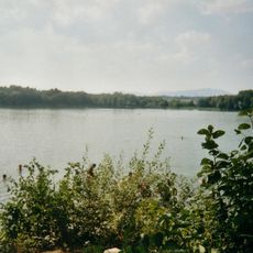
Lac de Burgäschi
4.9 km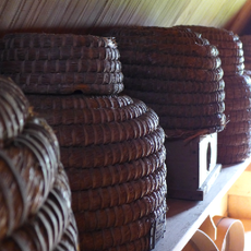
Local museum in the tower house
2.7 km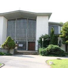
Bruder Klaus Gerlafingen
4.4 km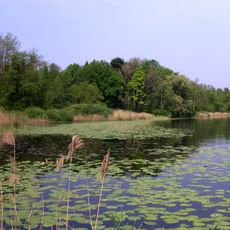
Aeschi SO–Burgäschisee Ost
5.1 km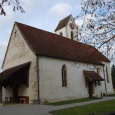
Reformed church with rectory
4.5 km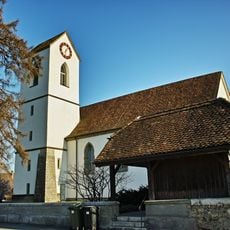
Reformed church
1.5 km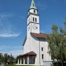
St. Mauritius parish church
3.7 km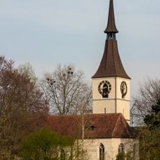
Reformed Church with former Ossuary and Rectory
4.8 km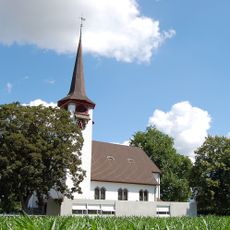
Reformed church
4.9 km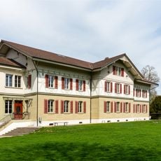
School building
1.6 km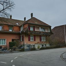
Residential house (1921)
3.4 km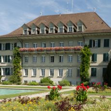
Cantonal horticultural school Oeschberg
2 km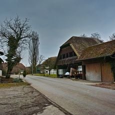
Granary (2nd half of the 18th century)
3.7 km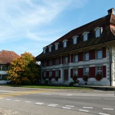
Former Bären Inn with annexes
1.6 km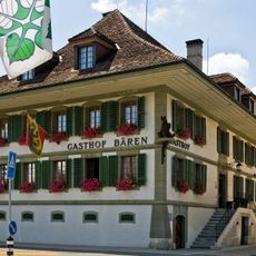
Bären Inn
4.7 km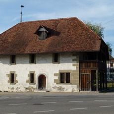
Granary
1.6 km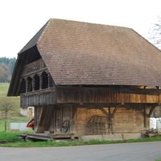
Granary (1784)
33 m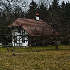
Ovenhouse (around 1850)
3.6 km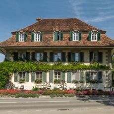
Servants' home (former Sonne Inn)
1.9 km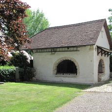
Former Ossuary
4.8 km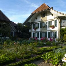
Stöckli (1797)
3 km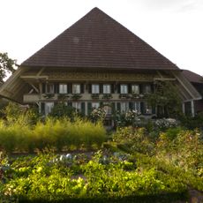
Gehöft
3 km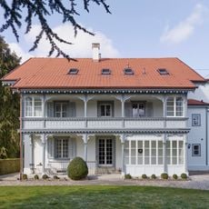
Villa (1882)
1.6 km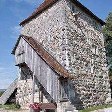
Residential tower with ensemble of small rural buildings
2.7 km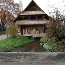
Granary (middle 18th century)
66 m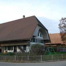
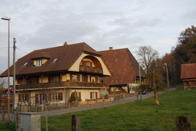
Farmhouse (1899)
72 m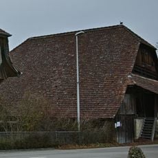
Double granary (1778)
3.3 km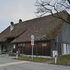
Former smithy
3.5 kmAvis
Vous avez visité ce lieu ? Touchez les étoiles pour le noter et partager votre expérience ou vos photos avec la communauté ! Essayez maintenant ! Vous pouvez annuler à tout moment.
Trouvez des trésors cachés à chaque coin de rue !
Des petits cafés pittoresques aux points de vue planqués, fuyez la foule et dénichez les lieux qui vous ressemblent vraiment. Notre app vous facilite la vie : recherche vocale, filtres malins, itinéraires optimisés et bons plans partagés par des voyageurs du monde entier. Téléchargez vite pour vivre l'aventure en version mobile !

Une approche inédite de la découverte touristique❞
— Le Figaro
Tous les lieux qui valent la peine d'être explorés❞
— France Info
Une excursion sur mesure en quelques clics❞
— 20 Minutes