
Riedholz, commune suisse
Emplacement : Lebern District
Altitude : 471 m
Partage une frontière avec : Feldbrunnen-St. Niklaus, Rüttenen, Balm bei Günsberg, Günsberg, Hubersdorf, Flumenthal, Deitingen, Luterbach, Zuchwil
Site web : http://riedholz.ch
Coordonnées GPS : 47.23000,7.56806
Dernière mise à jour : 13 mars 2025 à 05:15
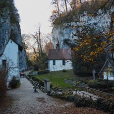
Saint Verena hermitage and sanctuary
2.7 km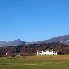
Château de Waldegg
1.7 km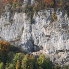
Balm ruins
3 km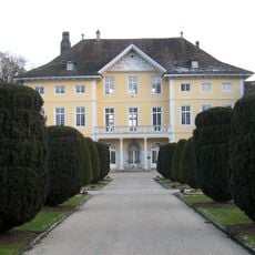
Steinbrugg Château
2.6 km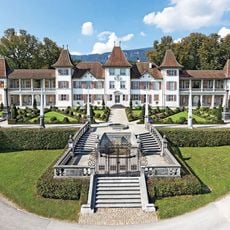
Waldegg Castle
1.7 km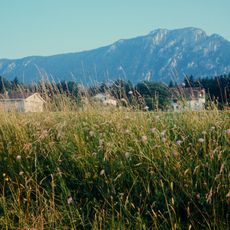
Balmfluechöpfli
3.4 km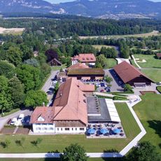
Golfclub Wylihof
2.2 km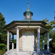
Gloriette Villa Hohenlinden
2.6 km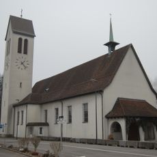
St. Joseph parish church
2.3 km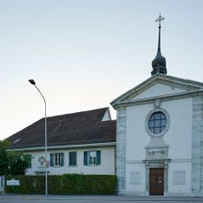
Chapel and beneficiary house of St. Katharinen
2.1 km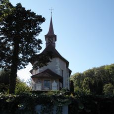
St. Niklaus catholic church with surrounding grave monuments
2.1 km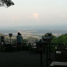
Restaurant Glutzenberg
3.7 km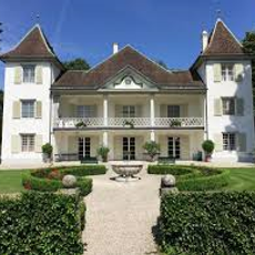
Emmenholz Castle
1.6 km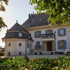
Villa Hohenlinden with Gloriette
2.5 km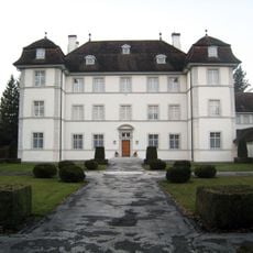
Haller House
2.5 km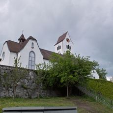
Parish church of St. Peter and Paul
2.4 km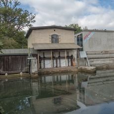
Power station at the Emmen canal
1.8 km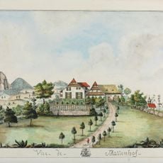
Mattenhof manor house
3.4 km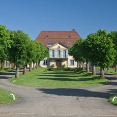
Koch Villa
2 km
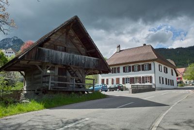
Waldegghof with granary
1.6 km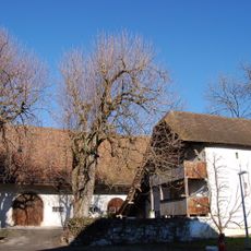
Granary Waldegghof
1.6 km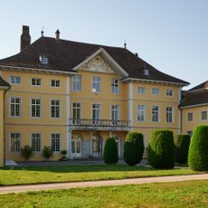
Archives du diocèse de Bâle
2.6 km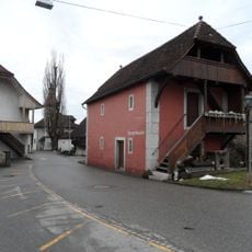
Bake house storehouse / museum building
4 km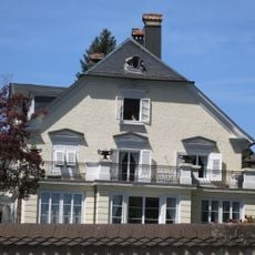
Fegetzhof
2.5 km
Kully House
2.6 km
Patrician house Güetli
2.6 km
Residential house
2.7 km
Egghof, former Gasthaus zum Einhorn
2.2 kmVous avez visité ce lieu ? Touchez les étoiles pour le noter et partager votre expérience ou vos photos avec la communauté ! Essayez maintenant ! Vous pouvez annuler à tout moment.
Trouvez des trésors cachés à chaque coin de rue !
Des petits cafés pittoresques aux points de vue planqués, fuyez la foule et dénichez les lieux qui vous ressemblent vraiment. Notre app vous facilite la vie : recherche vocale, filtres malins, itinéraires optimisés et bons plans partagés par des voyageurs du monde entier. Téléchargez vite pour vivre l'aventure en version mobile !

Une approche inédite de la découverte touristique❞
— Le Figaro
Tous les lieux qui valent la peine d'être explorés❞
— France Info
Une excursion sur mesure en quelques clics❞
— 20 Minutes