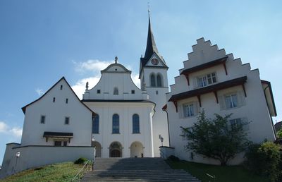
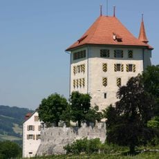
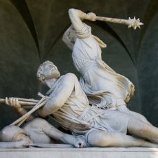
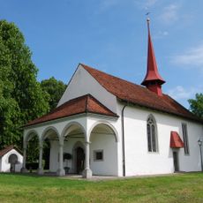
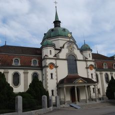
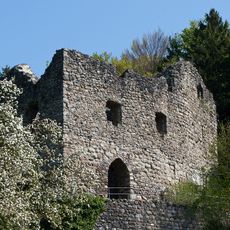
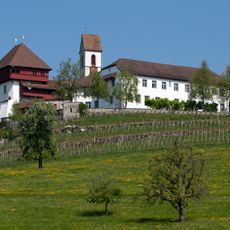
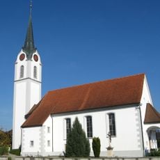
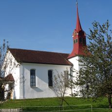
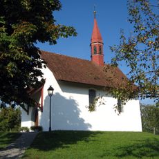
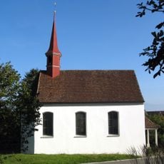
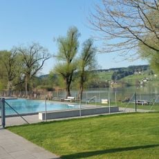
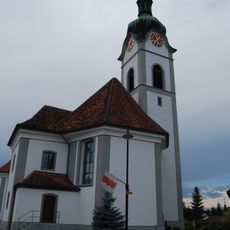
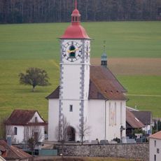
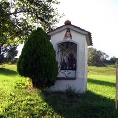
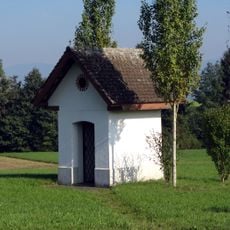
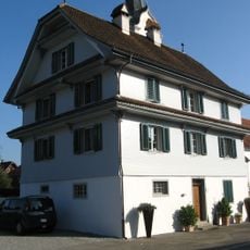
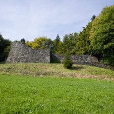
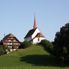
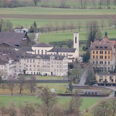
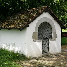
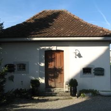
Hochdorf, commune suisse du canton de Lucerne
Emplacement : Hochdorf Constituency
Altitude : 500 m
Partage une frontière avec : Ballwil, Hohenrain
Site web : https://hochdorf.ch
Coordonnées GPS : 47.16639,8.28889
Dernière mise à jour : 3 mars 2025 à 01:25
Heidegg Castle
5.7 km
Winkelrieddenkmal
6.2 km
St. Jakob Battle chapel
6.2 km
Eschenbach Abbey
4.4 km
Medieval castle ruin Nünegg
4.9 km
Former Commandery of St. John
2.7 km
Roman Catholic church with rectory and parish storehouse
5.1 km
St. Wendelin chapel
6.1 km
St. Verena chapel
6.5 km
Chapel of St. Jost and Anthony of Padua
6.5 km
Baldegg
2.4 km
Ottenhusen
3 km
St. Jakob catholic church
4.7 km
Pfarrkirche St. Maria
4.8 km
St. Martin's Catholic Church with Ossuary Chapel, Rectory and Cemetery Hall
326 m
Kirche Inwil
6.8 km
Golf Club Sempachersee
5.8 km
Catholic Church of St. Agatha
6.1 km
Catholic church of St. Margaret
2.9 km
Mariahalden way chapel
6.4 km
St. Antonius way chapel
6 km
Roman-catholic rectory
5.1 km
Oberreinach castle ruin
4.7 km
Pilgrimage Chapel Gormund with Kaplanei
5.3 km
Kloster Baldegg, Archiv
1.5 km
Collection of Heidegg Castle
5.7 km
Ossuary (St. Jakob Battle chapel)
6.2 km
Former parish barn
5.1 kmAvis
Vous avez visité ce lieu ? Touchez les étoiles pour le noter et partager votre expérience ou vos photos avec la communauté ! Essayez maintenant ! Vous pouvez annuler à tout moment.
Trouvez des trésors cachés à chaque coin de rue !
Des petits cafés pittoresques aux points de vue planqués, fuyez la foule et dénichez les lieux qui vous ressemblent vraiment. Notre app vous facilite la vie : recherche vocale, filtres malins, itinéraires optimisés et bons plans partagés par des voyageurs du monde entier. Téléchargez vite pour vivre l'aventure en version mobile !
Une approche inédite de la découverte touristique❞
— Le Figaro
Tous les lieux qui valent la peine d'être explorés❞
— France Info
Une excursion sur mesure en quelques clics❞
— 20 Minutes