
Höhensiedlung mit Heiligtum am Burghügel Straßfried
Höhensiedlung mit Heiligtum am Burghügel Straßfried, archaeological site in Arnoldstein, Austria
Emplacement : Arnoldstein
Coordonnées GPS : 46.54971,13.66063
Dernière mise à jour : 12 mai 2025 à 21:23
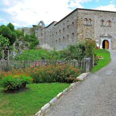
Abbaye d'Arnoldstein
3.7 km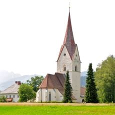
Pfarrkirche Thörl-Maglern
1.3 km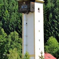
Schrotturm Arnoldstein
2.5 km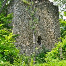
Burgruine Straßfried
13 m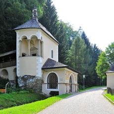
Kreuzkapelle Arnoldstein
4.1 km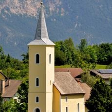
Evangelische Pfarrkirche Arnoldstein
3.2 km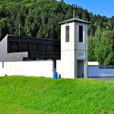
Evangelische Auferstehungskirche in Arnoldstein
3.3 km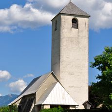
Filialkirche hl. Cyriacus, Hohenthurn
936 m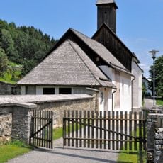
Filialkirche Seltschach
3.5 km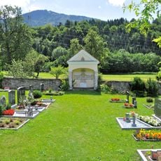
Evangelischer Friedhof mit Kapelle
3.5 km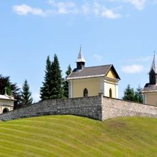
Friedhof mit drei Kapellen
3.1 km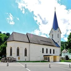
Pfarrkirche Sankt Lambert
3.8 km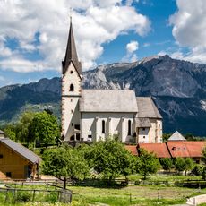
Pfarrkirche Mariä Namen, Göriach, Hohenthurn
3.7 km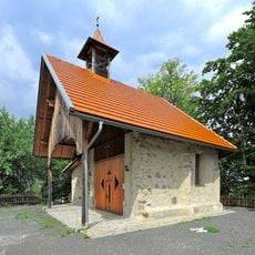
Ehem. Filialkirche hl. Maria
2.6 km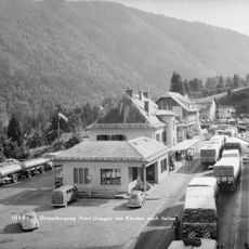
Poste frontière Thörl-Maglern
2.3 km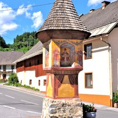
Bildstock in Dreulach
3.4 km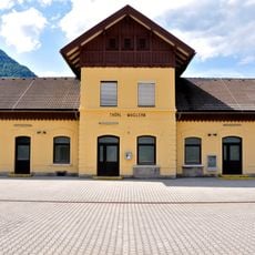
Station building Thörl-Maglern
1.4 km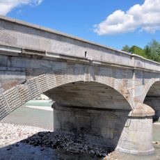
Gailitzbrücke
2.4 km
Pfarrhof Göriach, Hohenthurn
3.7 km
Doppelharpfe Pickerle
5 km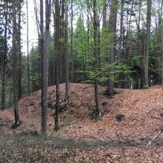
Befestigung Zagrad bei Draschitz
2.7 km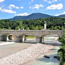
Gailitzbrücke
2.4 km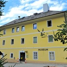
Heimatmuseum Arnoldstein
3.6 km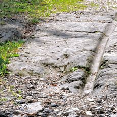
Alte Poststraße
989 m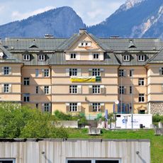
Zolldienst- und Wohngebäude
1.2 km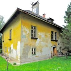
Ehem. Forsthaus
1.9 km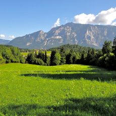
Spätantike Höhensiedlung Hoischhügel
1.4 km
Befestigte Höhensiedlung Förker Laasriegel
4.6 kmAvis
Vous avez visité ce lieu ? Touchez les étoiles pour le noter et partager votre expérience ou vos photos avec la communauté ! Essayez maintenant ! Vous pouvez annuler à tout moment.
Trouvez des trésors cachés à chaque coin de rue !
Des petits cafés pittoresques aux points de vue planqués, fuyez la foule et dénichez les lieux qui vous ressemblent vraiment. Notre app vous facilite la vie : recherche vocale, filtres malins, itinéraires optimisés et bons plans partagés par des voyageurs du monde entier. Téléchargez vite pour vivre l'aventure en version mobile !

Une approche inédite de la découverte touristique❞
— Le Figaro
Tous les lieux qui valent la peine d'être explorés❞
— France Info
Une excursion sur mesure en quelques clics❞
— 20 Minutes