
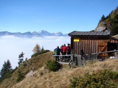
Reisskofel-Biwak, bivouac hut in the Reißkofel Group in Carinthia
Emplacement : Kirchbach
Création : 1975
Altitude : 1 799 m
Coordonnées GPS : 46.68320,13.12528
Dernière mise à jour : 7 mars 2025 à 03:36
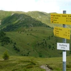
Gailtaler Höhenweg
1.6 km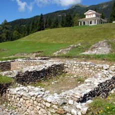
Gurina
3.5 km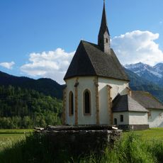
Filialkirche Hl Athanasius in Berg im Drautal
6.4 km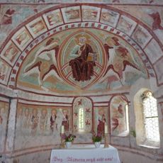
Filialkirche St. Helena Wieserberg
2.4 km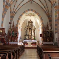
Pfarrkirche St. Daniel im Gailtal
5.8 km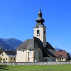
Pfarrkirche Grafendorf (Gailtal)
3.3 km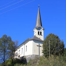
Pfarrkirche Reisach
4.1 km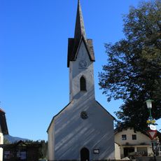
Kirche Stranig (Gailtal)
5.9 km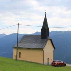
Filialkirche Goldberg (Gailtal)
4.5 km
Filialkirche Dellach im Gailtal
4.3 km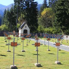
Heldenfriedhof in Griminitzen
4.9 km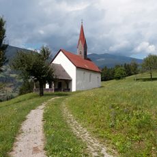
Kath. Filialkirche Hl. Dreifaltigkeit
5.9 km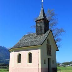
Kapelle Zum leidenden Erlöser, Grafendorf
3.3 km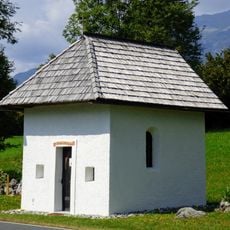
Wegkapelle Troistöckl
4.3 km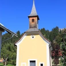
Kapelle in Leifling
3.4 km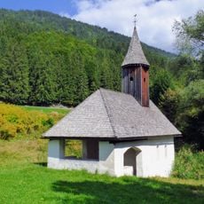
Filialkirche hl. Anastasia
4.8 km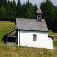
Dreifaltigkeitskapelle Katlingberg
1.9 km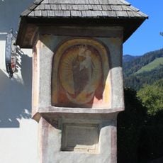
Gangl-Stöckl
4.4 km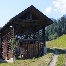
Harpfe bei Wieserberg 1
2.4 km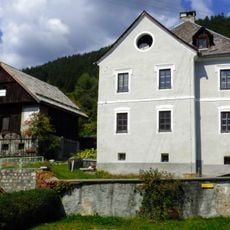
Pfarrhof Kirchbach
6.4 km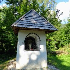
Bildstock Wieserberg
2.3 km
Ansitz Thurnhof
6.2 km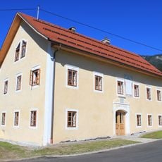
Pfarrhof Grafendorf
3.2 km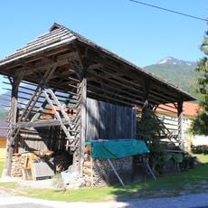
Harpfe, Grafendorf
3.2 km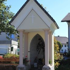
Nepomukkapelle
4.3 km
Befestigte Höhensiedlung St. Helena
2.4 km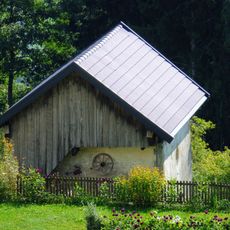
Mauerspeicher Wieserberg
2.5 km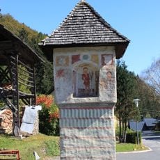
Hauserstöckl
4.6 kmVous avez visité ce lieu ? Touchez les étoiles pour le noter et partager votre expérience ou vos photos avec la communauté ! Essayez maintenant ! Vous pouvez annuler à tout moment.
Trouvez des trésors cachés à chaque coin de rue !
Des petits cafés pittoresques aux points de vue planqués, fuyez la foule et dénichez les lieux qui vous ressemblent vraiment. Notre app vous facilite la vie : recherche vocale, filtres malins, itinéraires optimisés et bons plans partagés par des voyageurs du monde entier. Téléchargez vite pour vivre l'aventure en version mobile !

Une approche inédite de la découverte touristique❞
— Le Figaro
Tous les lieux qui valent la peine d'être explorés❞
— France Info
Une excursion sur mesure en quelques clics❞
— 20 Minutes