
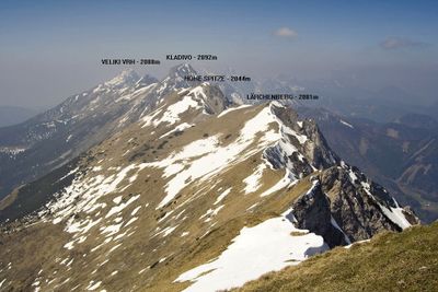
Hohe Spitze / Visoki vrh, mountain in the Karawanks at the border Carinthia / Slovenia
Emplacement : Municipality of Tržič
Emplacement : Zell
Altitude : 2 044 m
Coordonnées GPS : 46.43904,14.38142
Dernière mise à jour : 21 mars 2025 à 19:31
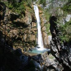
Tscheppaschlucht
9.9 km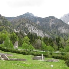
Loiblpass concentration camp
8.8 km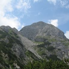
Storžič
10.1 km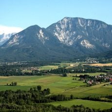
Ferlacher Horn
7.4 km
Košutica / Loibler Baba
6.3 km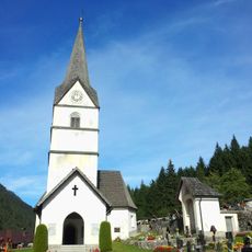
Pfarrkirche Heiliger Ulrich, Zell-Pfarre
3.6 km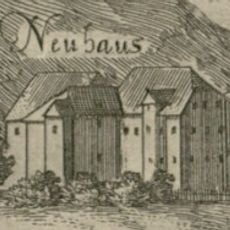
Neuhaus Castle
9.8 km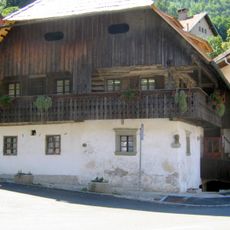
Kurnik House
10 km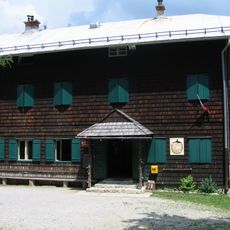
Dom pod Storžičem
8.9 km
Our Lady of the Annunciation Parish Church
9.8 km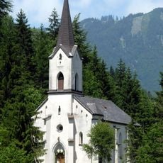
Pfarrkirche hl. Leonhard, Loibltal
9.9 km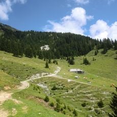
Planini Šija and Ilovica
3.2 km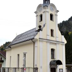
Pfarrkirche St. Antonius von Padua, Waidisch
7.3 km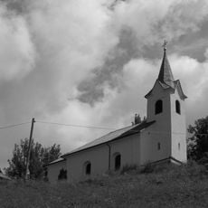
Filialkirche hl. Kreuz, Trögern
8.2 km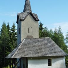
Wallfahrtskapelle hl. Anna Matzen
8.4 km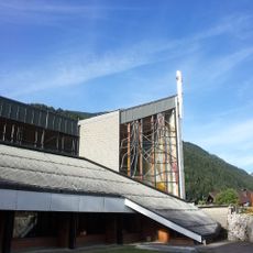
Pfarrkirche Heilige Maria, Hilfe der Christen
3.6 km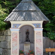
Leonhardi-Kapelle, Loibltal
8.8 km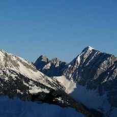
Kladivo / Hainschturm
2.9 km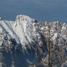
Koschutnikturm / Košutnikov turn
2.4 km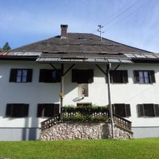
Rectory Zell-Pfarre
3.6 km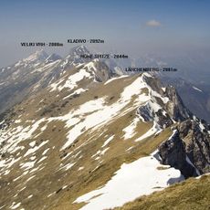
Lärchenberg
689 m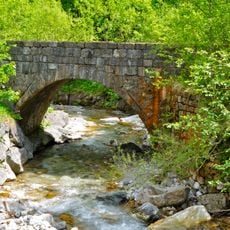
Straßenbrücke, Obere Töppibrücke
10 km
Breitwand / Macesje
1.6 km
Planina Kofce
5 km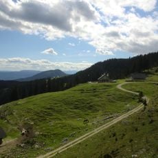
Planina Šija
3.2 km
Planina Ilovica
4.2 km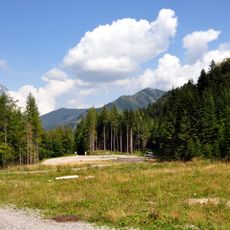
Nazi concentration camp Loibl Nord
10 km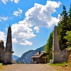
Obelisken
8.8 kmAvis
Vous avez visité ce lieu ? Touchez les étoiles pour le noter et partager votre expérience ou vos photos avec la communauté ! Essayez maintenant ! Vous pouvez annuler à tout moment.
Trouvez des trésors cachés à chaque coin de rue !
Des petits cafés pittoresques aux points de vue planqués, fuyez la foule et dénichez les lieux qui vous ressemblent vraiment. Notre app vous facilite la vie : recherche vocale, filtres malins, itinéraires optimisés et bons plans partagés par des voyageurs du monde entier. Téléchargez vite pour vivre l'aventure en version mobile !

Une approche inédite de la découverte touristique❞
— Le Figaro
Tous les lieux qui valent la peine d'être explorés❞
— France Info
Une excursion sur mesure en quelques clics❞
— 20 Minutes