
Mayrhof, commune autrichienne
Emplacement : Schärding District
Altitude : 430 m
Partage une frontière avec : Andorf, Lambrechten, Eggerding
E-mail : gemeinde@mayrhof.ooe.gv.at
Site web : http://mayrhof.info
Coordonnées GPS : 48.35000,13.50000
Dernière mise à jour : 19 avril 2025 à 06:26
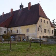
Schloss Hackledt
4 km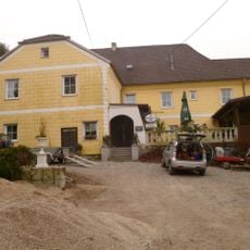
Schloss Schörgern
6.2 km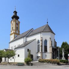
Pfarrkirche hl. Stephan, Andorf
6.2 km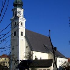
Pfarrkirche Sankt Marienkirchen bei Schärding
5.6 km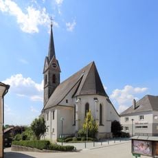
Pfarrkirche Eggerding
1.7 km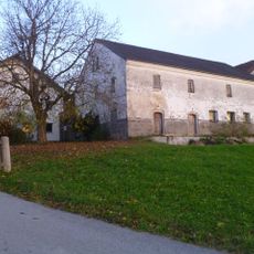
Schloss Maasbach
4.5 km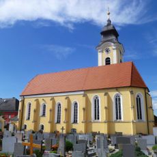
Katholische Pfarrkirche Heiliger Apostel Andreas
6.3 km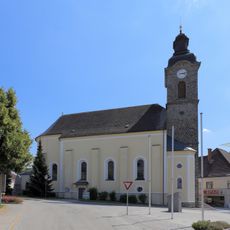
Pfarrkirche hl. Lambert, Lambrechten
3.8 km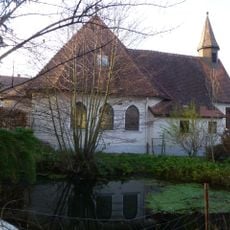
Filialkirche Teufenbach
5.9 km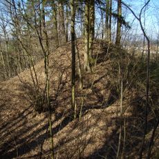
Burgstall Andorf
6.3 km
Schloss Haitzing
5.3 km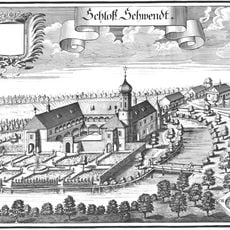
Schloss Schwendt
4.9 km
Celtic Golf Course Schärding
3.7 km
Friedhof St. Marienkirchen
5.6 km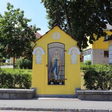
Kapellenbildstock
5.9 km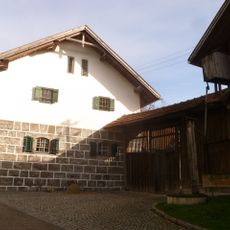
Freilichtmuseum Brunnbauerhof in Andorf
7.1 km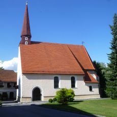
Katholische Filialkirche Heiliger Veit
5.5 km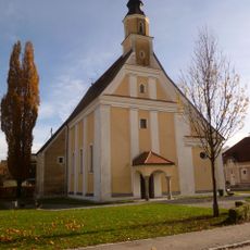
Filialkirche hl. Sebastian in Andorf
5.7 km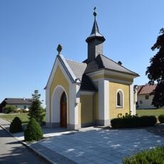
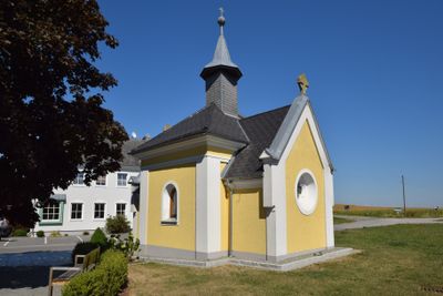
Edtmayer-Kapelle Mayrhof
371 m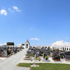
Friedhof Lambrechten
3.5 km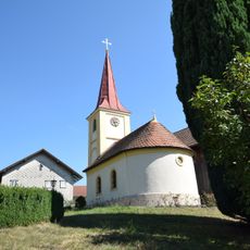
Kapelle Laufenbach - Taufkirchen
5 km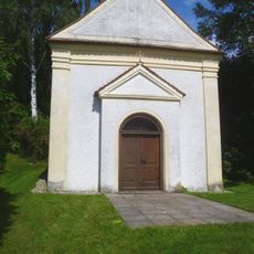
Bründlkapelle
5.9 km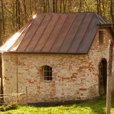
Freilichtmuseum, Haus-/Hofkapelle-Brunnbauerhof
7 km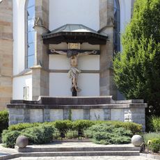
Kriegerdenkmal
6.2 km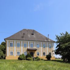
Pfarrhof
6.4 km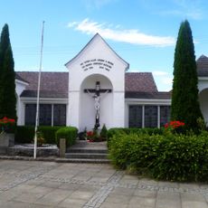
War memorial
6.3 km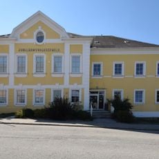
Volksschule Eggerding
1.7 km
Gemeindeamt, Bösbauer-Villa
5.9 kmVous avez visité ce lieu ? Touchez les étoiles pour le noter et partager votre expérience ou vos photos avec la communauté ! Essayez maintenant ! Vous pouvez annuler à tout moment.
Trouvez des trésors cachés à chaque coin de rue !
Des petits cafés pittoresques aux points de vue planqués, fuyez la foule et dénichez les lieux qui vous ressemblent vraiment. Notre app vous facilite la vie : recherche vocale, filtres malins, itinéraires optimisés et bons plans partagés par des voyageurs du monde entier. Téléchargez vite pour vivre l'aventure en version mobile !

Une approche inédite de la découverte touristique❞
— Le Figaro
Tous les lieux qui valent la peine d'être explorés❞
— France Info
Une excursion sur mesure en quelques clics❞
— 20 Minutes