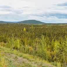
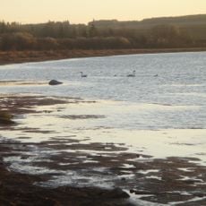
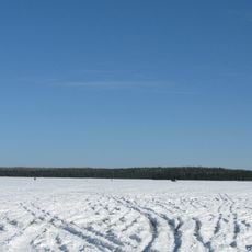
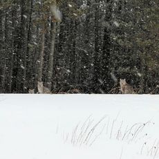
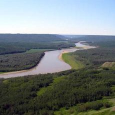
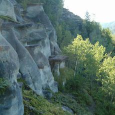
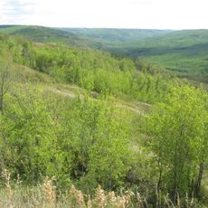
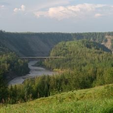
Comté de Northern Sunrise, district municipal de l'Alberta
Emplacement : Alberta
Création : 1994
Partage une frontière avec : County of Northern Lights, Peace River
Site web : http://northernsunrise.net
Coordonnées GPS : 56.23390,-117.29000
Dernière mise à jour : 2 mars 2025 à 21:33
Route de l'Alaska
190.8 km
Route Yellowhead
301.1 km
TransCanada pipeline
262.9 km
Lac Sainte-Anne
340.8 km
Montney Formation
245.1 km
Formation McMurray
366.4 km
Parc provincial Carson-Pegasus
239.1 km
Tse’K’wa
226 km
Parc provincial de Dunvegan
88.1 km
Philip J. Currie Dinosaur Museum
165.7 km
Cadomin Cave
260.1 km
Grande Prairie Transit
151.4 km
Parc provincial Gregoire Lake
377.5 km
Abee
350.2 km
Parc provincial Sir Winston Churchill
369.4 km
Parc provincial Thunder Lake
285.2 km
Fort Fork
15.7 km
Parc provincial Saskatoon Island
160.7 km
Parc provincial Obed Lake
297.6 km
Bluesky Formation
56 km
Parc provincial sauvage Chinchaga
170.6 km
Dunvegan Formation
90.4 km
Peace River Formation
4.6 km
Parc provincial sauvage Peace River
40.4 km
Parc provincial de Sundance
290.1 km
Parc provincial Greene Valley
11.4 km
Peace River meteorite
41.4 km
Parc provincial Kiskatinaw
205.6 kmAvis
Vous avez visité ce lieu ? Touchez les étoiles pour le noter et partager votre expérience ou vos photos avec la communauté ! Essayez maintenant ! Vous pouvez annuler à tout moment.
Trouvez des trésors cachés à chaque coin de rue !
Des petits cafés pittoresques aux points de vue planqués, fuyez la foule et dénichez les lieux qui vous ressemblent vraiment. Notre app vous facilite la vie : recherche vocale, filtres malins, itinéraires optimisés et bons plans partagés par des voyageurs du monde entier. Téléchargez vite pour vivre l'aventure en version mobile !
Une approche inédite de la découverte touristique❞
— Le Figaro
Tous les lieux qui valent la peine d'être explorés❞
— France Info
Une excursion sur mesure en quelques clics❞
— 20 Minutes