
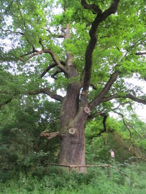
Heritesův dub, memorable tree in Strakonice District, Czech Republic
Emplacement : Vodňany
Hauteur : 25 m
Coordonnées GPS : 49.14665,14.12803
Dernière mise à jour : 6 mars 2025 à 05:09
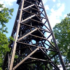
Haniperk
2.7 km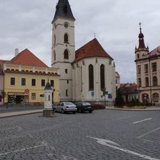
Church of the Nativity of the Virgin Mary
3.4 km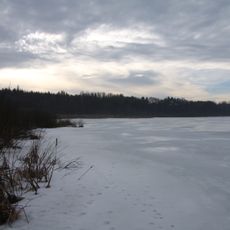
Záhorský rybník
530 m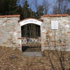
Jewish cemetery in Vodňany
891 m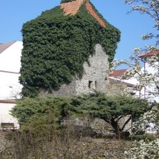
City fortification of Vodňany
3.3 km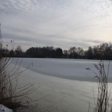
Malý Ústavní rybník
2.5 km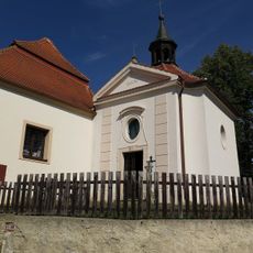
Kaple svatého Vojtěcha
3.4 km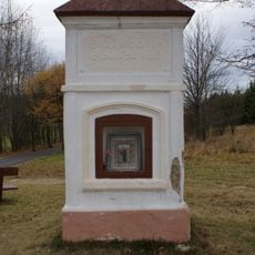
Chapel of Saint Mary Magdalene
1.3 km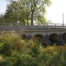
Bridge of road II/141 over the Bílský potok in Svinětice
2.4 km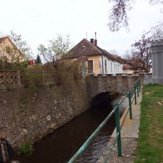
Most Písecké ulice přes Mlýnskou stoku ve Vodňanech
3.4 km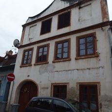
Dům čp. 39
3.4 km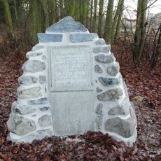
Pomník obětem náletu
303 m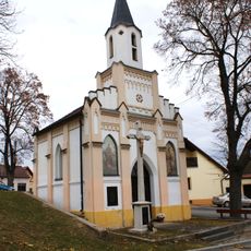
Kaple sv. Šimona a Judy
2.2 km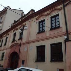
Fara
3.4 km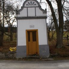
Chapel of Virgin Mary
1.7 km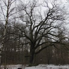
Zeyerův dub
280 m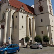
Kříž u kostela Narození Panny Marie ve Vodňanech
3.4 km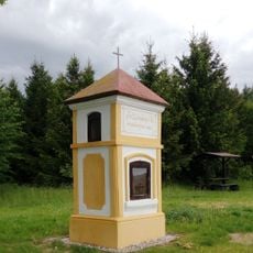
Chapel of Saint Leonard
1.8 km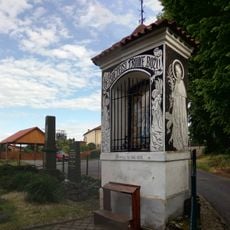
Chapel of the Holy Trinity
946 m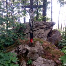
Wayside cross
2.6 km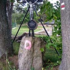
Wayside cross
1.8 km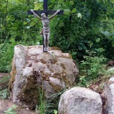
Wayside cross
2.3 km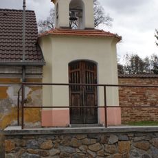
Chapel of Saint John of Nepomuk
2.6 km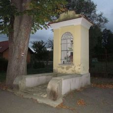
Kaplička ve Vodňanech v ulici Rechle
3.2 km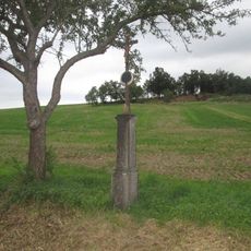
Kříž východně od Lidmovic
3.3 km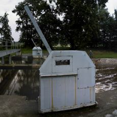
Jez Vodňany 26,1
2.8 km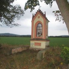
Kaplička jižně od Křtětic
3.2 km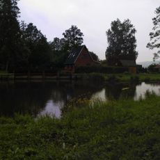
Lávka přes Blanici na jezu u Křtětic
2.8 kmVous avez visité ce lieu ? Touchez les étoiles pour le noter et partager votre expérience ou vos photos avec la communauté ! Essayez maintenant ! Vous pouvez annuler à tout moment.
Trouvez des trésors cachés à chaque coin de rue !
Des petits cafés pittoresques aux points de vue planqués, fuyez la foule et dénichez les lieux qui vous ressemblent vraiment. Notre app vous facilite la vie : recherche vocale, filtres malins, itinéraires optimisés et bons plans partagés par des voyageurs du monde entier. Téléchargez vite pour vivre l'aventure en version mobile !

Une approche inédite de la découverte touristique❞
— Le Figaro
Tous les lieux qui valent la peine d'être explorés❞
— France Info
Une excursion sur mesure en quelques clics❞
— 20 Minutes