
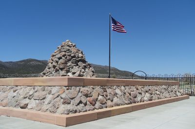
Mountain Meadows Massacre Site
Mountain Meadows Massacre Site, historische Stätte in den Vereinigten Staaten
Emplacement : Washington County
Coordonnées GPS : 37.47556,-113.64361
Dernière mise à jour : 9 avril 2025 à 20:22
Parc d'État de Snow Canyon
30.3 km
Righteous Branch of the Church of Jesus Christ of Latter-day Saints
30.1 km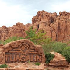
Tuacahn
31.8 km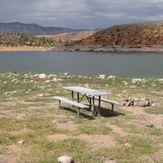
Gunlock State Park
26.6 km
Santa Clara Volcano
24.4 km
Quail Creek State Park
38.9 km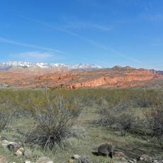
Red Cliffs National Conservation Area
36.4 km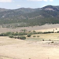
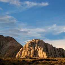
Mountain Meadows
65 m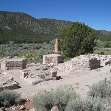
Old Iron Town
22 km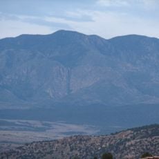
Signal Peak
21.9 km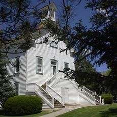
Pine Valley Chapel and Tithing Office
14.7 km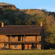
Jacob Hamblin House
38.1 km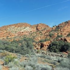
Cottonwood Canyon Wilderness
33.5 km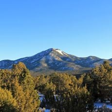
Iron Mountain
30.3 km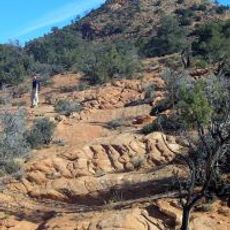
Red Mountain Wilderness
26.4 km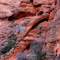
Elephant Arch
35.7 km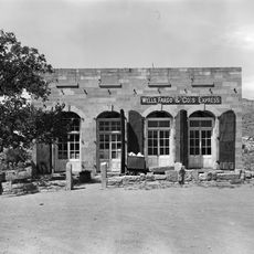
Wells Fargo and Company Express Building
34.8 km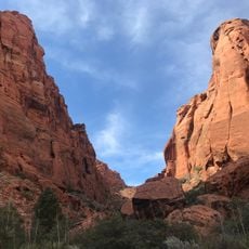
Padre Canyon
32.5 km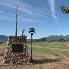
Fort Harmony
36.1 km
Daniel R. and Sophia G. Page House
22.4 km
George and Bertha Graff House
38.2 km
Hans George Hafen House
38.2 km
Leeds Tithing Office
36.5 km
Frederick, Jr., and Mary F. Reber House
38.1 km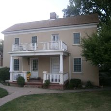
Frederick and Anna Maria Reber House
38.1 km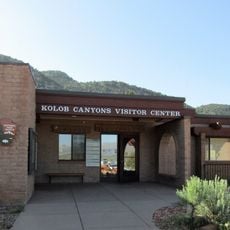
Kolob Canyons Visitor Center
37 km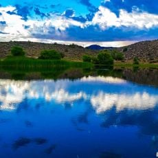
Gunlock Reservoir
26.7 km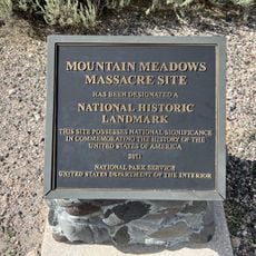
Mountain Meadow, Utah
5.1 kmAvis
Vous avez visité ce lieu ? Touchez les étoiles pour le noter et partager votre expérience ou vos photos avec la communauté ! Essayez maintenant ! Vous pouvez annuler à tout moment.
Trouvez des trésors cachés à chaque coin de rue !
Des petits cafés pittoresques aux points de vue planqués, fuyez la foule et dénichez les lieux qui vous ressemblent vraiment. Notre app vous facilite la vie : recherche vocale, filtres malins, itinéraires optimisés et bons plans partagés par des voyageurs du monde entier. Téléchargez vite pour vivre l'aventure en version mobile !

Une approche inédite de la découverte touristique❞
— Le Figaro
Tous les lieux qui valent la peine d'être explorés❞
— France Info
Une excursion sur mesure en quelques clics❞
— 20 Minutes