
Musket Island Marine Provincial Park, île canadienne
Emplacement : Sunshine Coast Regional District
Création : 1992
Coordonnées GPS : 49.72639,-124.21250
Dernière mise à jour : 21 avril 2025 à 17:25
Jervis Inlet
34.8 km
Englishman River Falls Provincial Park
54.3 km
Parc provincial marin Smuggler Cove
29.7 km
Parc provincial de Rathtrevor Beach
45.1 km
Jedediah Island Marine Provincial Park
25 km
Mount Alfred
54.3 km
Comox Air Force Museum
50.1 km
Parc provincial Tribune Bay
37.9 km
Parc provincial Skookumchuck Narrows
21.9 km
Parc provincial Mount Elphinstone
54.2 km
Parc provincial Tetrahedron
47.5 km
Lighthouse Pub
42.7 km
Parc provincial Helliwell
36.7 km
Porpoise Bay Provincial Park
41.6 km
Powell River
51.1 km
Cowichan
51.3 km
Malibu Rapids
55.2 km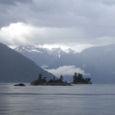
Parc provincial marin de Desolation Sound
54.9 km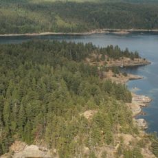
Parc provincial marin Copeland Islands
54.2 km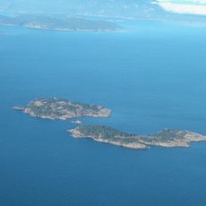
Ballenas Island Light
42 km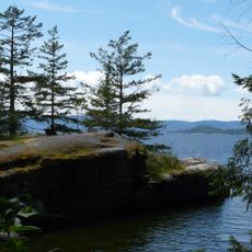
Parc provincial Saltery Bay
6.3 km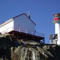
Chrome Island lighthouse
44.3 km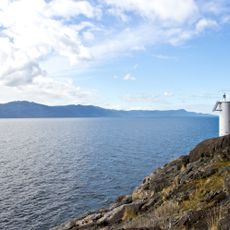
Parc provincial Francis Point
17.1 km
South Texada Island Provincial Park
23.3 km
Parc provincial Arbutus Grove
53.2 km
Princess Royal Reach
42.2 km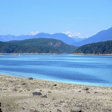
Parc provincial Okeover Arm
46.5 km
The Park Golf Course & Restaurant & RV Park
52.5 kmAvis
Vous avez visité ce lieu ? Touchez les étoiles pour le noter et partager votre expérience ou vos photos avec la communauté ! Essayez maintenant ! Vous pouvez annuler à tout moment.
Trouvez des trésors cachés à chaque coin de rue !
Des petits cafés pittoresques aux points de vue planqués, fuyez la foule et dénichez les lieux qui vous ressemblent vraiment. Notre app vous facilite la vie : recherche vocale, filtres malins, itinéraires optimisés et bons plans partagés par des voyageurs du monde entier. Téléchargez vite pour vivre l'aventure en version mobile !

Une approche inédite de la découverte touristique❞
— Le Figaro
Tous les lieux qui valent la peine d'être explorés❞
— France Info
Une excursion sur mesure en quelques clics❞
— 20 Minutes