
Proston Weir, dam in Proston, Queensland
Emplacement : South Burnett Region
Altitude : 304 m
Coordonnées GPS : -26.20060,151.57400
Dernière mise à jour : 5 juin 2025 à 13:23
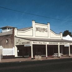
Mellors Drapery and Haberdashery
64.1 km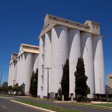
Kingaroy Peanut Silos
46.3 km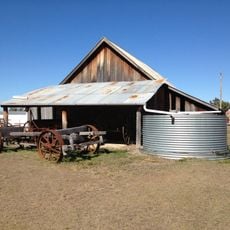
Boondooma Homestead
28 km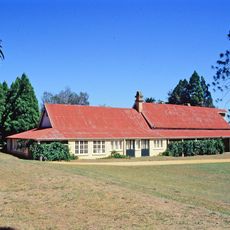
Taabinga Homestead
53.5 km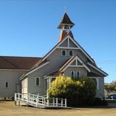
St Michael and All Angels Church, Kingaroy
46.3 km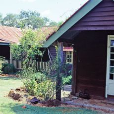
Burrandowan Station Homestead
34.5 km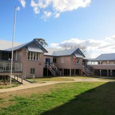
Murgon State School
37.1 km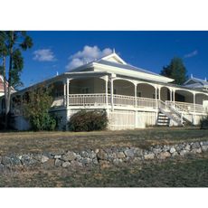
Barambah Homestead
52.1 km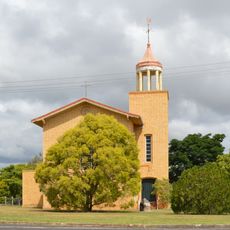
Shepherd Memorial Church of St Peter, Proston
5.2 km
Beeron National Park
33.7 km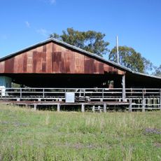
Elgin Vale Sawmill
67.4 km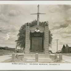
Gayndah War Memorial
64.1 km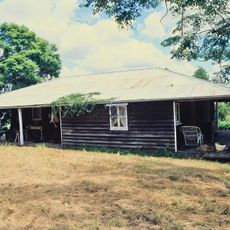
Booubyjan Homestead
48 km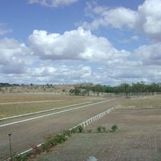
Gayndah Racecourse
63.7 km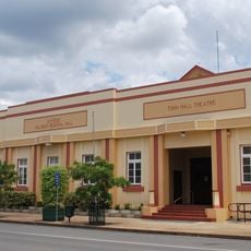
Gayndah Shire Hall
64.1 km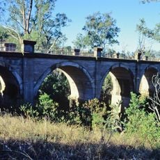
Humphery Railway Bridge
66.3 km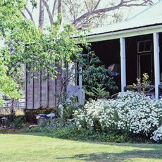
Wylarah
49.7 km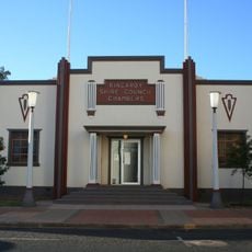
Kingaroy Shire Council Chambers
46.2 km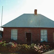
Brick Cottage, Gayndah
64.1 km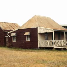
Carroll Cottage
46.1 km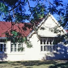
Gayndah State School
64.2 km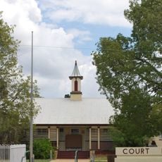
Gayndah Court House
64.1 km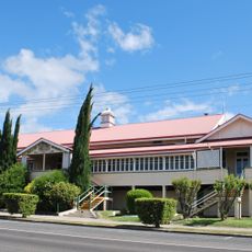
Goomeri Hall of Memory
49.6 km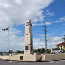
Goomeri War Memorial Clock
49.4 km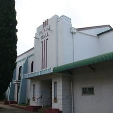
Murgon Civic Centre
37 km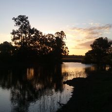
Nanango Weir
61 km
Beninbi National Park
39.3 km
Mudlo National Park
66.6 kmAvis
Vous avez visité ce lieu ? Touchez les étoiles pour le noter et partager votre expérience ou vos photos avec la communauté ! Essayez maintenant ! Vous pouvez annuler à tout moment.
Trouvez des trésors cachés à chaque coin de rue !
Des petits cafés pittoresques aux points de vue planqués, fuyez la foule et dénichez les lieux qui vous ressemblent vraiment. Notre app vous facilite la vie : recherche vocale, filtres malins, itinéraires optimisés et bons plans partagés par des voyageurs du monde entier. Téléchargez vite pour vivre l'aventure en version mobile !

Une approche inédite de la découverte touristique❞
— Le Figaro
Tous les lieux qui valent la peine d'être explorés❞
— France Info
Une excursion sur mesure en quelques clics❞
— 20 Minutes